Introduction
Overall, I appreciate the effort behind the Route of Caravans North & South and the unique riding experience it offers. My intention is not to criticize, but to help improve the accuracy, rideability, and long-term quality of the route.I’d be happy to discuss and refine these points further with the community and the route creators. Constructive feedback will only make this great route even better.

20250925_185617
20250913_191332

20250919_095952
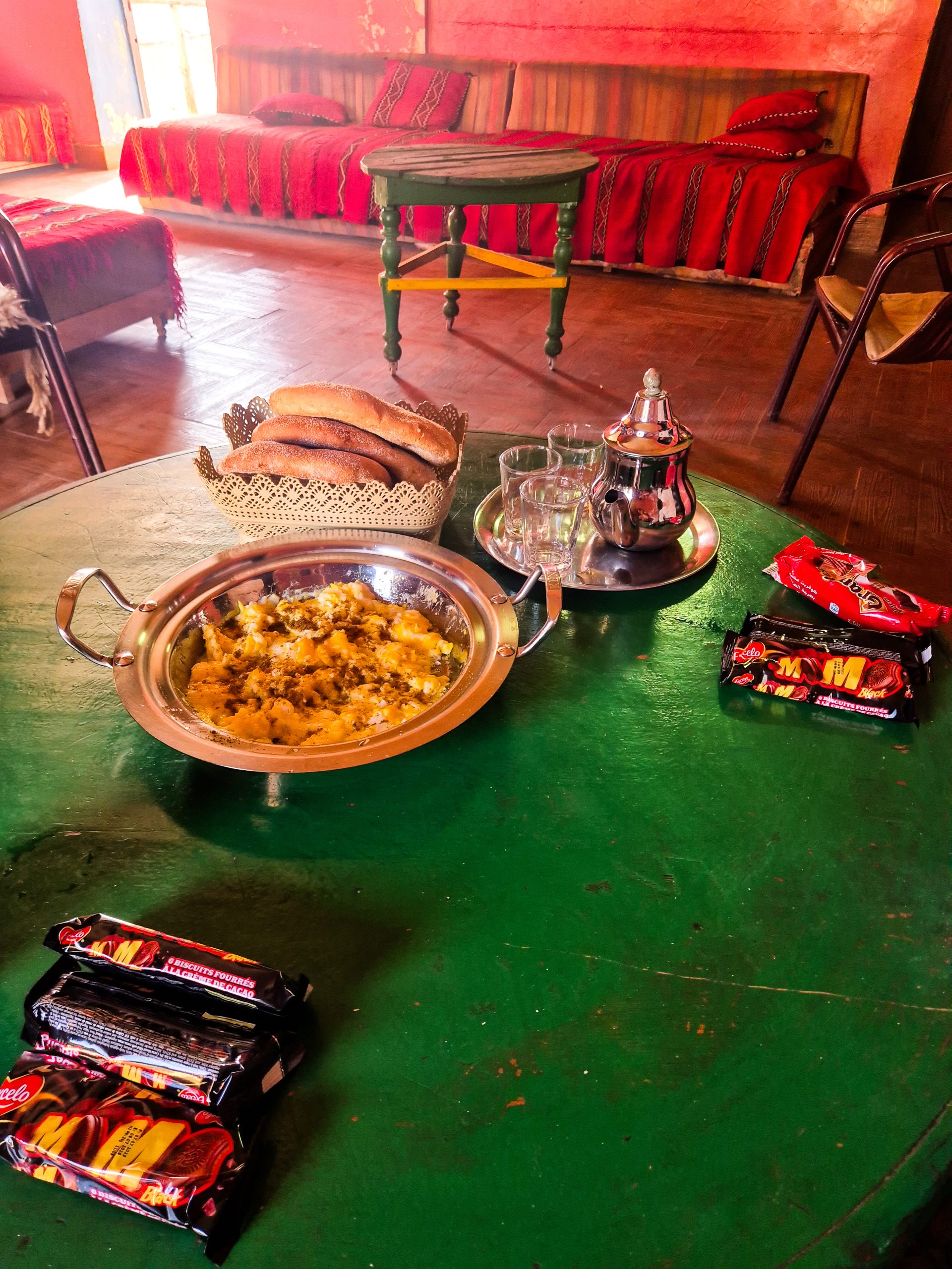
20250922_191645
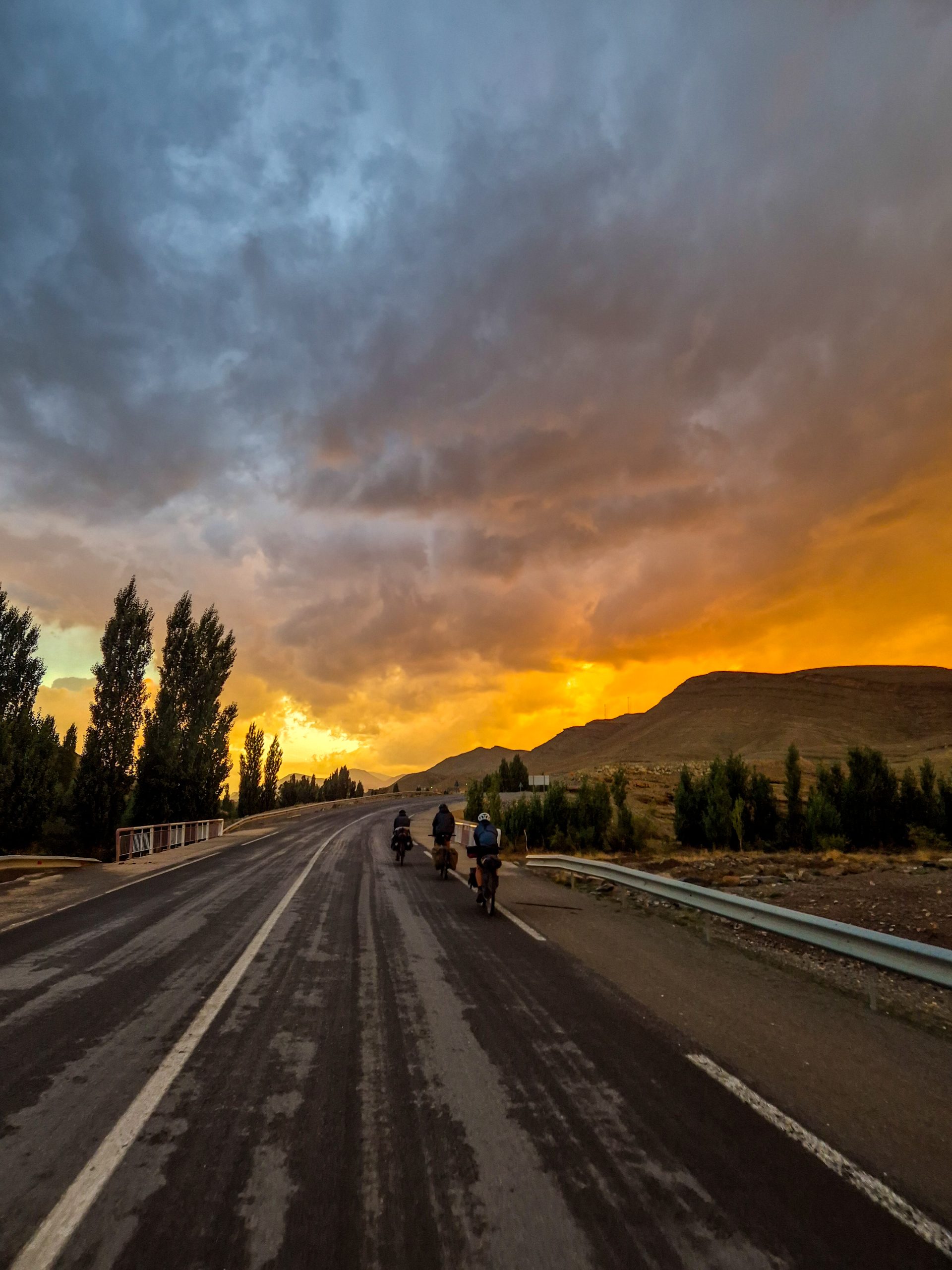
20250920_102413
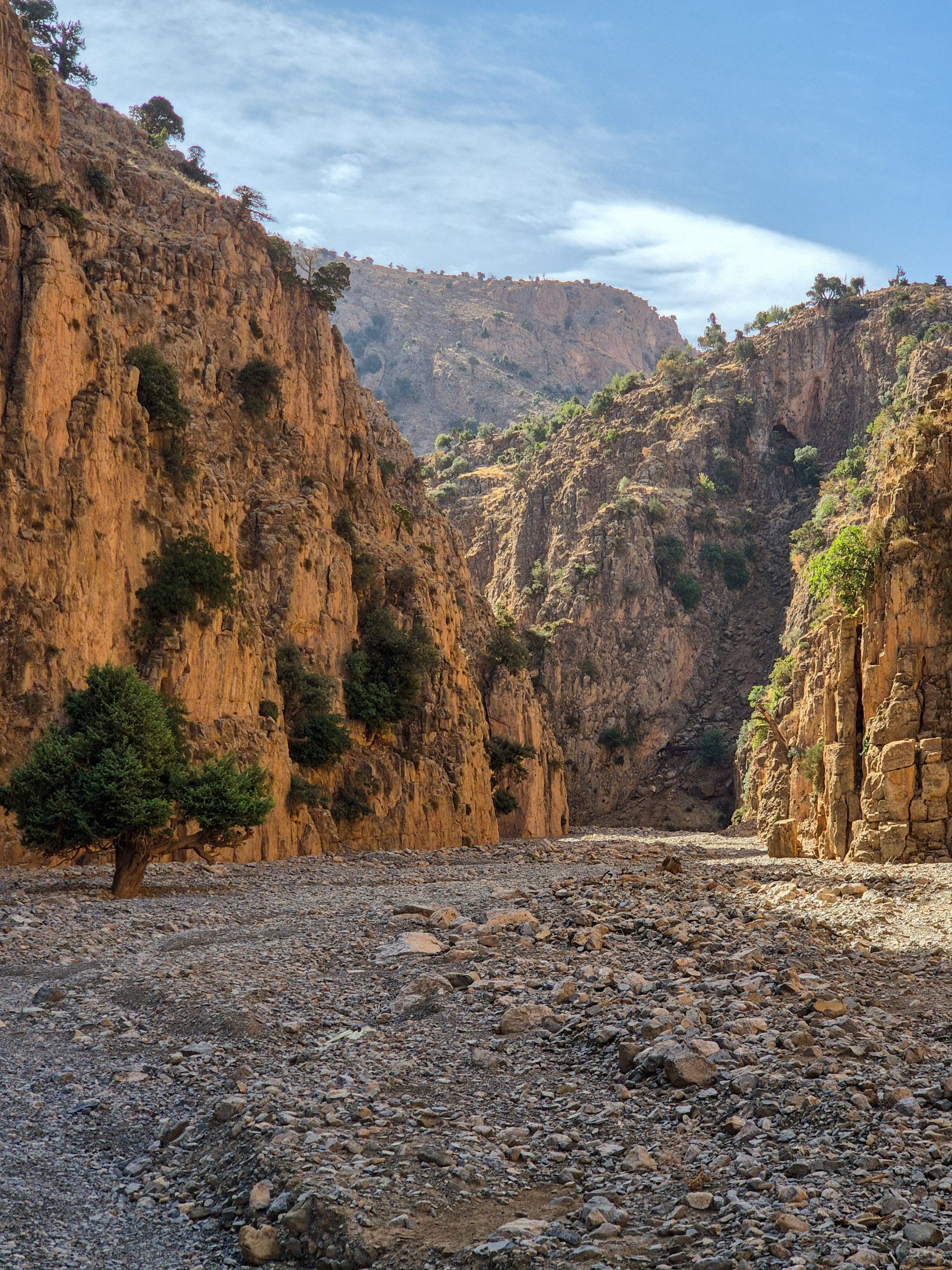
20250923_133116

20250930_081123
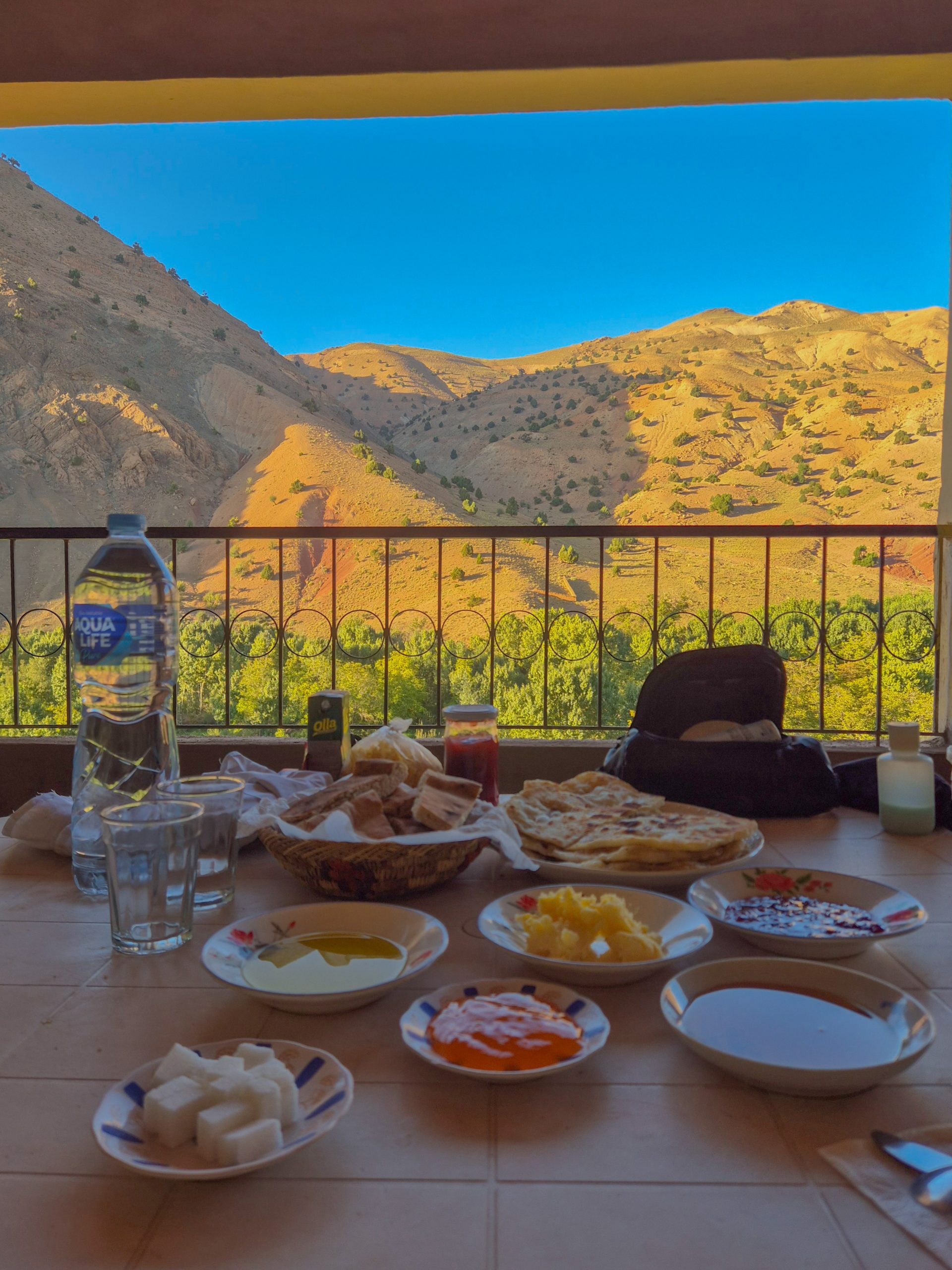
20250923_122739

20250928_120209

20251004_104137
Routes and Map overview
Tipp: Open the side panel on the left and toggle the different routes.
General Routing
Overall, the route seems to prioritize taking any possible dirt road — even when it’s not the most logical, accessible, or scenic option. In my opinion, the main route should aim for a balance of rideability, safety, and enjoyment, while more adventurous or demanding sections could be offered as variants (see Curation of the Route below).
Some major examples where the current routing could be reconsidered (see my GPX for details):
- El Hammam: The route follows a push-bike-only dirt track not even mapped on OSM, instead of a nearby paved road with a better view.
- Tagoudit: The GPX goes through a riverbed instead of following the proper road.
- Imilchil: Several routing concerns have already been raised in the comments section.
- Agoudal: The route follows a poor dirt teck 20m parallel to a paved one — with no added benefit.
- N’Kob: The route bypasses the town, missing a useful resupply point.
- M’Hamid El Ghizlane: going via the desert not via the Oase Sacrée which should be IMHO the main route seems details below
Data Currency
Several sections of the GPX track appear outdated. Either this should be explicitly stated (e.g. “GPX last updated 2022”) or the data should be maintained more regularly. In multiple cases, newly paved roads are ignored and the GPX still follows obsolete dirt tracks.
Examples:
- Tisguine to RR317: A new paved road exists — the dirt track shown in the GPX is gone.
- Aït Ishaq: The GPX descends unnecessarily into a valley requiring hike-a-bike, only to rejoin the paved road 300m later.
Keeping the data current would help ensure safety, consistency, and avoid unnecessary frustration in remote terrain.
Curation of the Route
- A main route — the most accessible, logical, and generally rideable option.
- Variants — offering more adventure, difficulty path compared to the main route
- Options – optional detours from the main route e.g. for scenic sections
This way, riders can choose their level of challenge while following a coherent main itinerary.
Example Variant Proposals
- Jaffa Canyon: a northern parallel track as a bad-weather variant avoiding the river crossing. Riders can still drop into the canyon in good conditions.
- Tagoudit: Make the riverbed track a variant, and the road the main route.
- Imilchil: Same as above — prioritize the road, make the dirt alternative a variant.
- N’Kob: Include the city for resupply on the main route.
- Desert Section: Main via Oase Sacrée and the option through the open desert.
Example Optional Proposals
- Gorges d’Amejgag as a scenic side trip.Route Description (Technical Review)
Route Description (Technical Review)
I recommend that the official route description focuses more on technical aspects — as general cultural and travel info can be found elsewhere. Detailed breakdowns of surface types, road conditions, weather impact, and traffic would be more useful for riders preparing for the route. Also a coherent naming of sections and points should be introduced so everyone knows what everybody is referring to.
Regarding map data such as water sources or shops: referencing OpenStreetMap (OSM) is more consistent and avoids redundancy.
Missing Key Information:
- Dogs: Frequent and often aggressive, especially near villages. Riders should be warned clearly.
- Kids: Some may throw stones, harass riders, or try to grab gear. Do not hand out sweets or money — this only reinforces the behavior.
- Glas: Clear statement that there is tones of trash and glas on the road. If you don’t have appropriate tires and/or tubeless you are in for a bad time.
Example — Desert Section (South)
Via Erg Chigaga Track
- First ~10 km are sandy; occasional pushing required. Bike and technical riding matters
- After Bivouac Bab Rimal (≈ 29.935353, -6.28952), very loose sand begins — bike setup doesn’t help much here.
- From ≈ 29.95172, -6.357466 to 29.879805, -6.558223 it’s steady riding.
- From there to Foum Zguid, the surface remains rocky and rough — slow going, but fully rideable (assuming dry conditions).
Via Oase Sacrée
- First ~10 km are sandy; occasional pushing required. Bike and technical riding matters
- Easier, rocky track with better rideability.
- From ≈ 29.95172, -6.357466 to 29.879805, -6.558223 it’s steady riding.
- From there to Foum Zguid, the surface remains rocky and rough — slow going, but fully rideable (assuming dry conditions).
Cheers – I hope this guide helps a little with your planning! 🙂
Leave a Reply