Introduction
I first heard about the trail through the daily trail vlogs on YouTube from Wilderness Prime [Dave]. He did it in 2019 and compiled a great blog and YouTube playlist. I can highly recommend giving it a read, as he did it during a different season and with different gear. His GPX and trail route were the main resource for my planning.
There is also an official website. When I started the planning [1,5 years before the attempt], there wasn’t concrete, easy-to-find information. BUT – they have launched a new version with a lot of information. Hopefully, by the time you read it, the GHT is also available at FarOut [currently it’s in BETA – for 50€]. You can also buy the official GPX file [120€ – 50% discount if you bought the FarOut map – so 60€]. So if you want FarOut + GPX, it’s 110€. You can find the information about the current status HERE. This GPX will contain all the Waypoints from FarOut aswell as alternative routes etc. which are not contained in any other public file. Iam personally not a big fan of FarOut. This is about the general app and not about the GHT. Some of the points are: no offline satellite map, not able to get GPS points of the map, no on the fly calculation of routes [planned routes are possible – but tedious, slow, bad to manage], zoom resets after every app start [apparently Android only]. So I would use FarOut for the Images, the PoIs and the comments – I think its good for those features. But I would not consider it a fully functional backcountry app for navigation.
We attempt the “Trekking Thru-Hike Route,” formerly known as “high route”. It contains 5 technical passes where mountaineering equipment is required. We’re starting mid-August and plan to finish it in 100 days.
As we’re still on the trail, the blog will keep being updated. The final Version will be published after the hike.
Route & Directions
Routes
The main route I’ve used for planning was Version-11 from Dave (Wilderness Prime). As it’s a bit outdated by now, I wouldn’t rely on it. There is also a public version on CalTopo, which is from 2025 and which I can highly recommend.
Besides this, I also got early access to FarOut & the official GPX [Thanks again!]. As of now, it’s a plain GPX file with waypoints, and trail condition information is missing. I guess the true value of FarOut will come if it’s in use by a larger group of hikers to provide up-to-date information.
Direction & Weather
We’ll hike from West to East. This is mainly due to the pace we’ve planned and the weather. You can read more about it HERE. To break it down. If you go fast, you can go for the 2nd hiking season [autumn]. If you are slower, you have to start earlier, which means spring, as there is monsoon during summer. Why West to East? The North-West is a bit shielded against the monsoon, which leads to the point that this is the preferred direction if you go fast and start in autumn.
Route overview map
The map shows the two public GPX files and will also contain my GPX file with all trail notes once the hike is finished.
Tip: Open the side panel on the left and toggle the different routes.
Trail Notes
In the following part, you’ll find the daily trail notes. They should give you detailed insights into the trail conditions and overall experience of hiking the GHT. Details about the accommodation or campsite can be found in the PoI GPX – they also contain the locations mentioned.

20260817_104142
20260817_164708
Approach – Hilsa
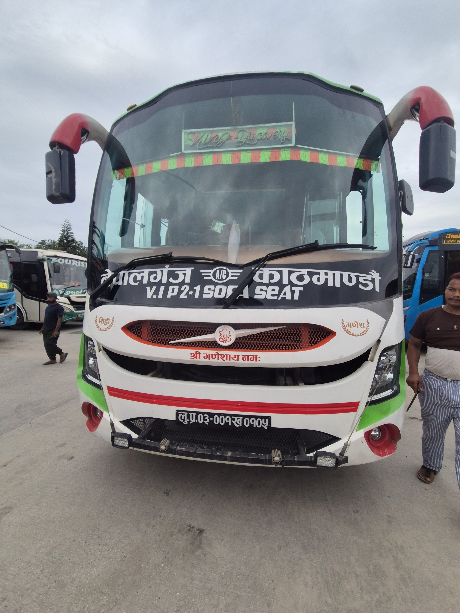
As we are doing the GHT eastbound, we need to get to Hilsa. There are basically two options. Take a plane either from Kathmandu or Nepalgunj to Simikot and then a Jeep to Hilsa. Or take a bus from Kathmandu to Nepalgunj and then another Bus to Simikot. We decided to take the bus. The first one was 2.500 NPR, took 12 h, and was okay. The A/C wasn’t really working, and the road is absolute shit for the first 300km. The second bus departs around 5 PM for 5.500 NPR and took 48h. The journey will always take 3 days as there are two fixed sleep stops. The places were 200 NPR and 250 NPR. We were super lucky therefore we arrived at the hotel for the 2nd night already at 5 PM. The last 100 km took 12h and even though we didn’t had any rain during the trip we will git stuck two times. We stayed at Hotel Kailash – GHT Checkpoint and highly reccomend for 1.500 NPR fir the room and they offered incredible delicious food.
So long story short – take the plane. Its incredible exhausting, slow, tedious and unpredictable. If I would ever have to go to Simikot again – i would fly from Nepalgunj.
Taking the Jeep from Simikot to Hilsa was easy and straight forward – it was 25.000 NPR. We didn’t had any checkpoints and it took 5,5 hours. There is a lot of construction along the road especially at the beginning and the condition is really good. The middle part is quite bumpy, after that it’s getting gradually better. We stayed at the Baglung Resort – not the GHT checkpoint but was recommended and I can also recommended it.
Small tipp – we didn’t had any Namaste [NCT – Nepal Telekom Signal] and no Wifi. If you want to have super fast internet just buy a China eSim – this is what I did.
🔒 Login
DAY 1 – 22.6 km | 916m | 5h 49m | 6h 28m | Yari
1000441113
20260824_130124
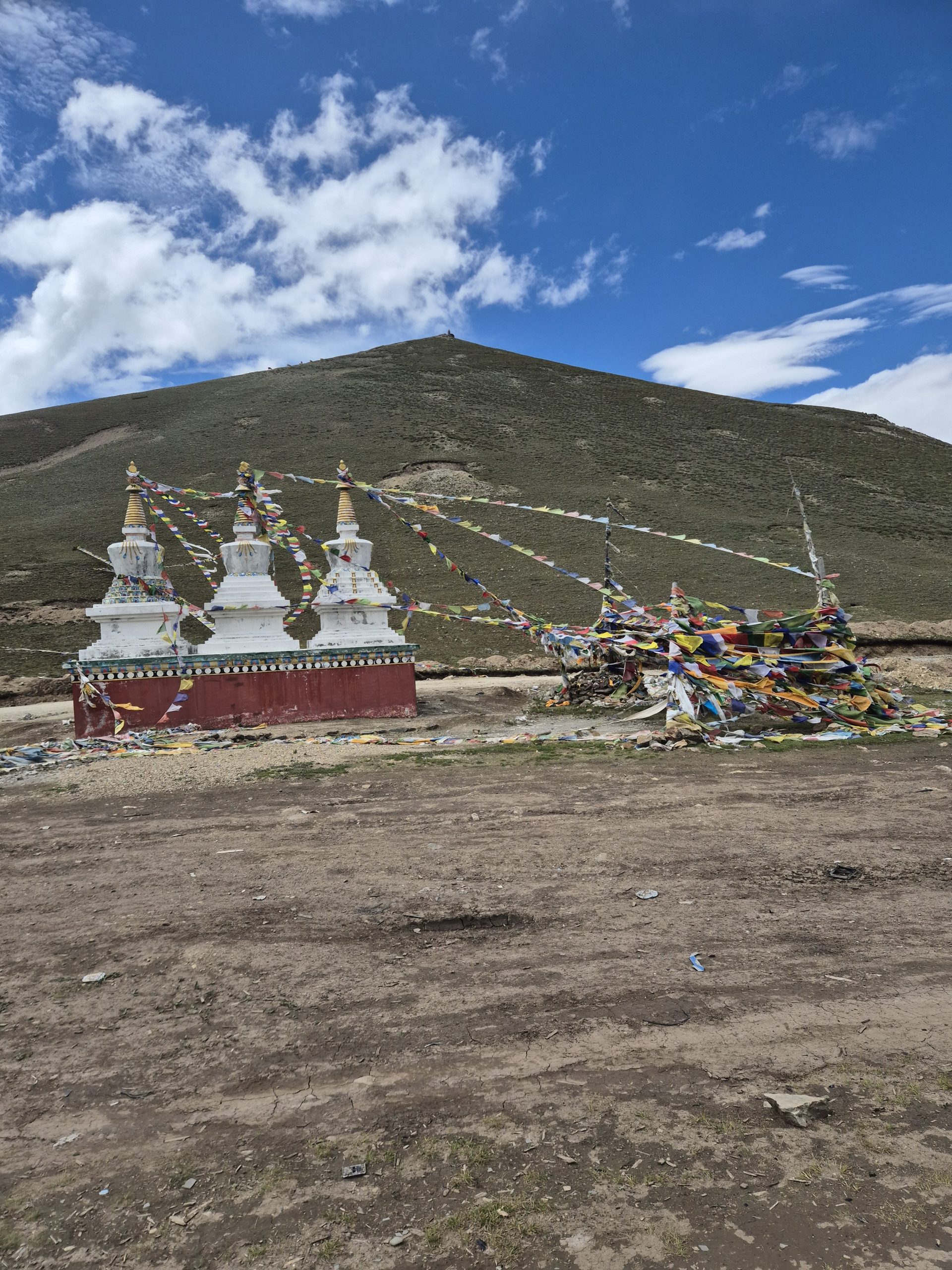
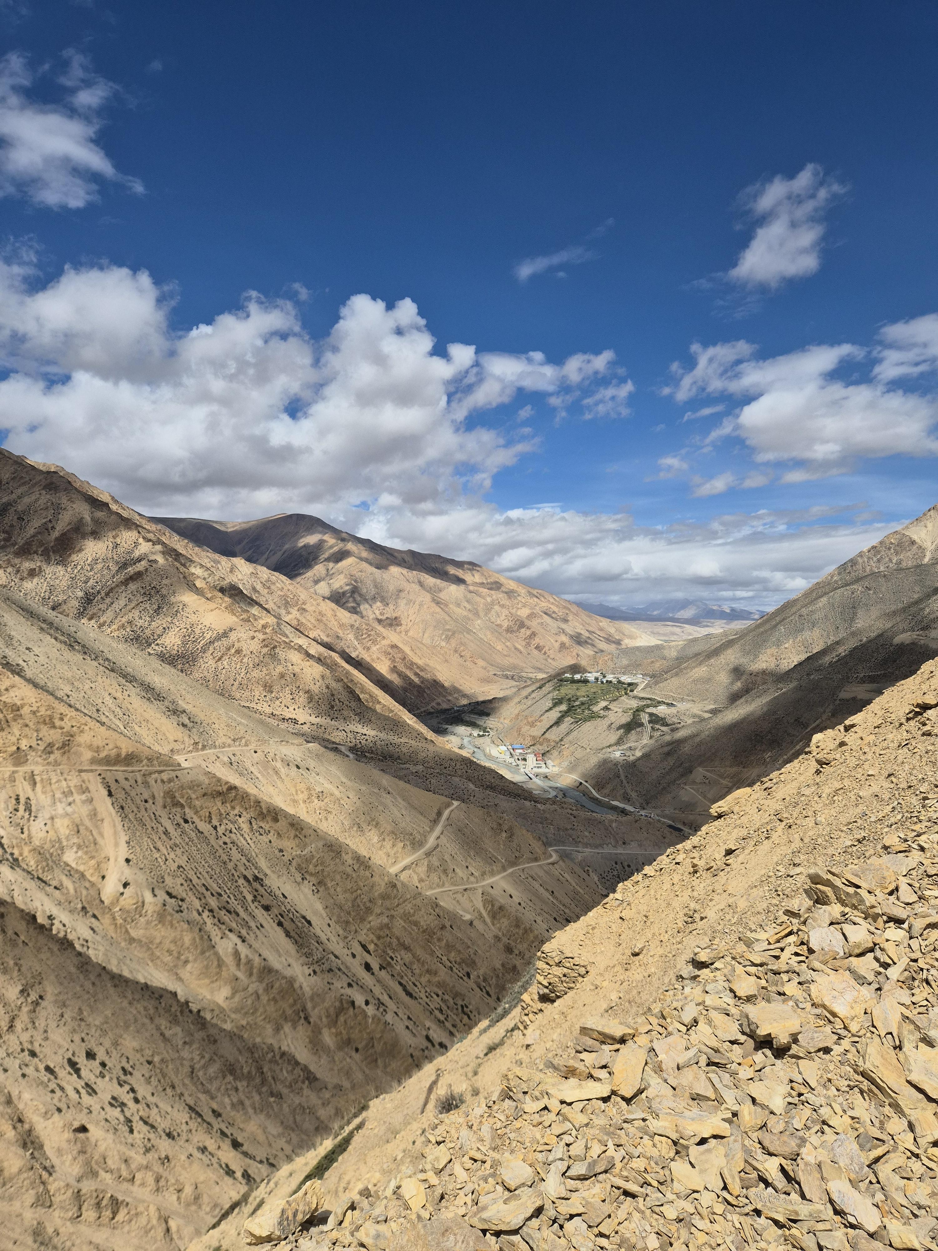
Very straight forward. Easy hike along the main dirt road. Stayed at a guest house.
🔒 Login
DAY 2 – 24.92 km | 657m | 5h 42m | 6h 44m | Yangar
20260825_180121
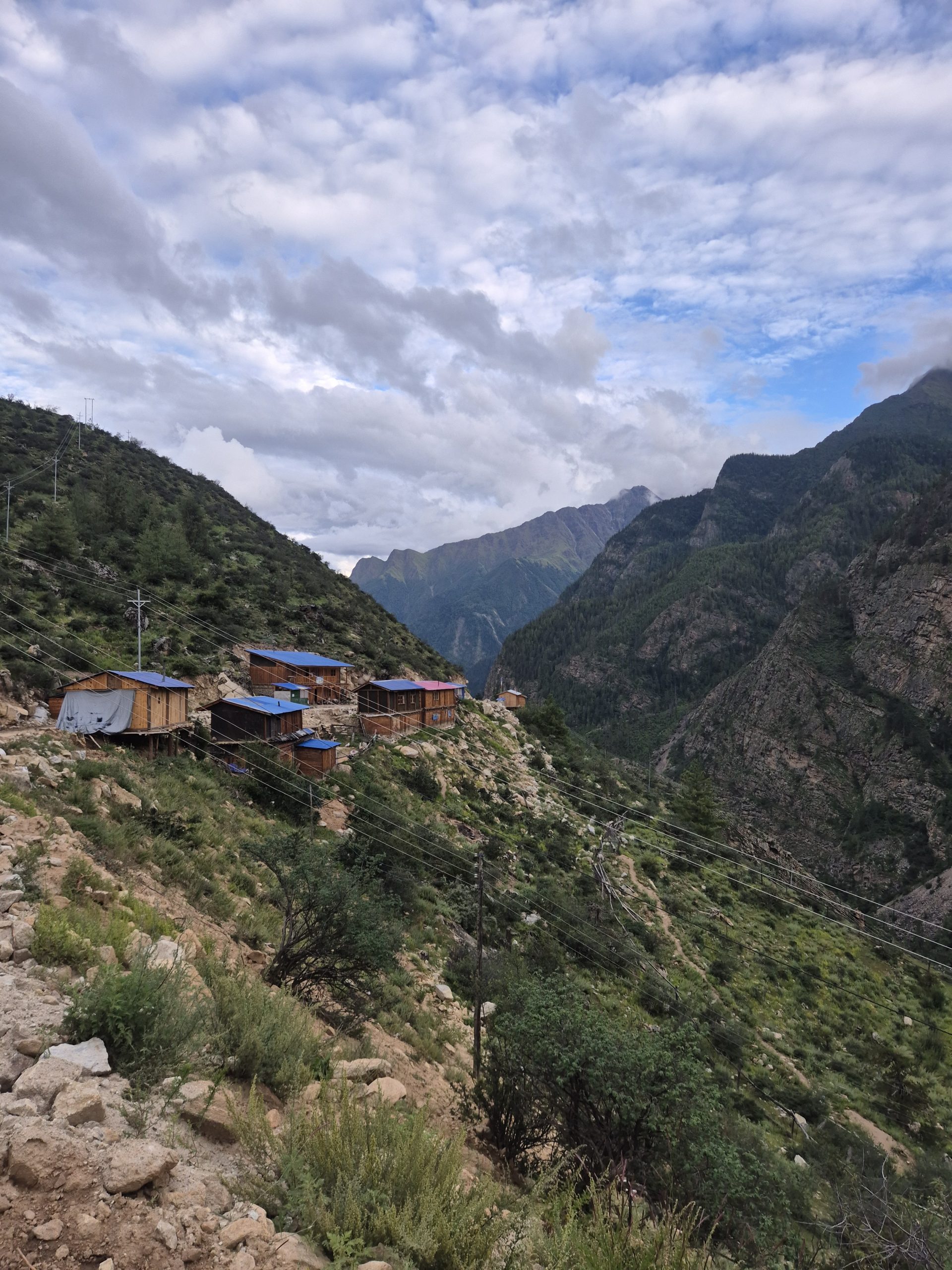
Easy road walking until the bridge. After that it’s a hiking trail along the old dirt road. At one point you come back on the old dirt road which is maintained. Stick to the dirt road until you reach Yangar. A few kilometers before the hiking trail starts again and you can follow it all the way up to the main dort road. Easy hiking – stayed at a guest house.
🔒 Login
DAY 3 – 24.93 km | 520m | 5h 41m | 6h 43m | Dharapuri
_DSC5306
_DSC5301
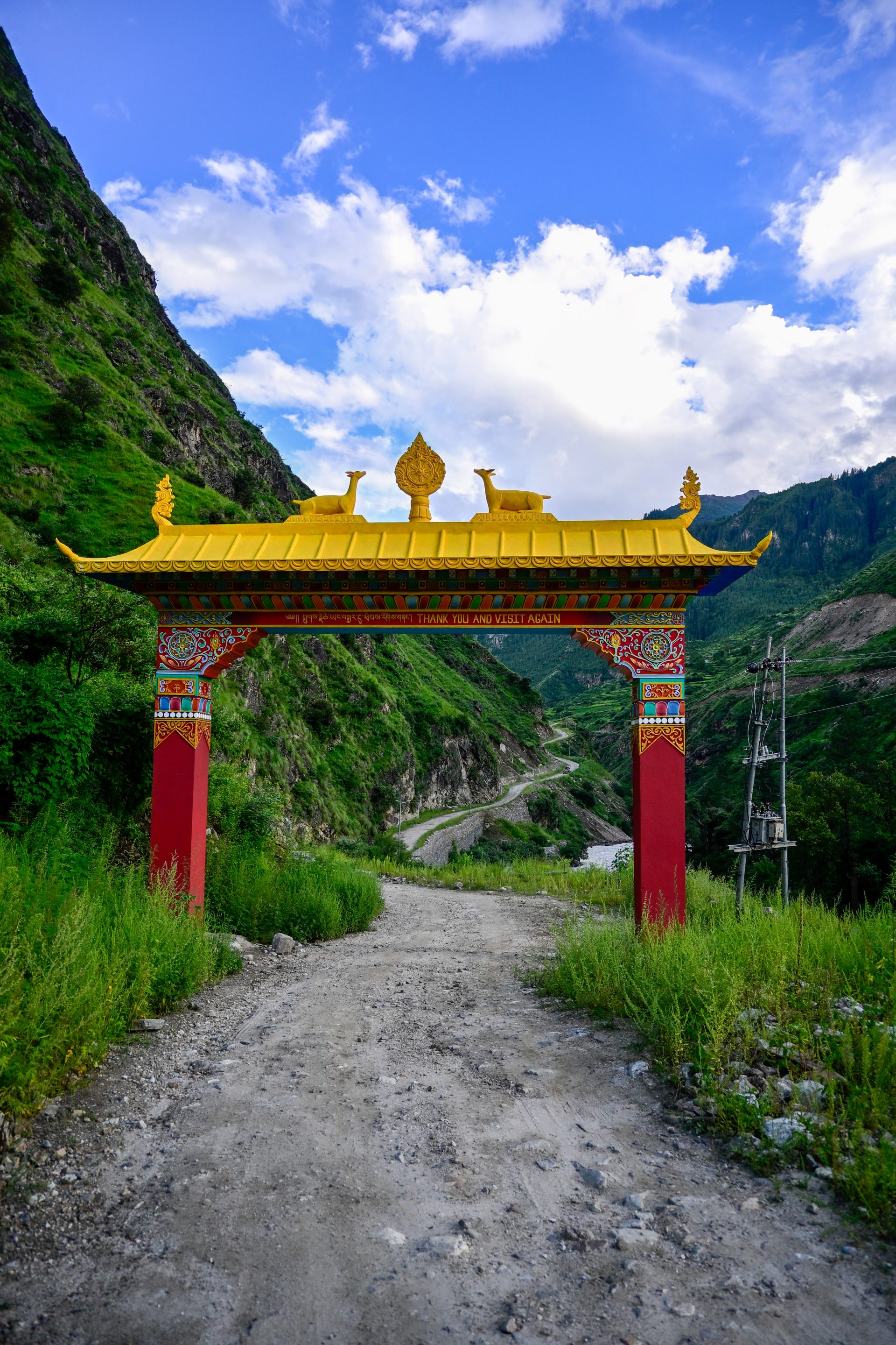
Straightforward road walking. Encountered one checkpoint they asked if we had a guide.
🔒 Login
DAY 4 – 13.6 km | 1050m | 3h 37m | 5h 09m | Simikot
_DSC5326
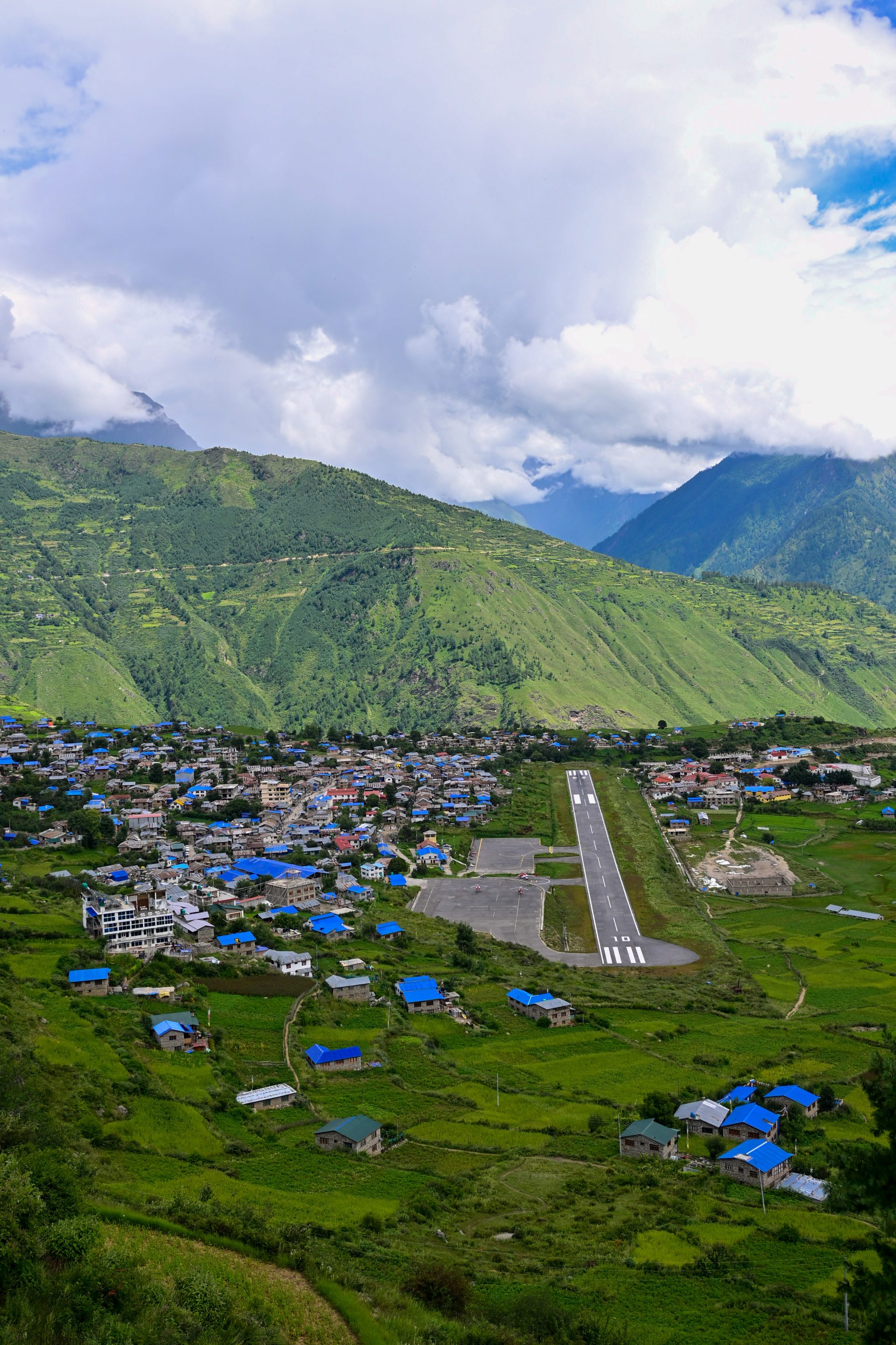
After clarifying the trail condition at our guest house we decided to take the route along the river not the road. It was a nice trail until you hit the old road. This turn into the new road and then joins the main road. After the pass it’s a easy hike down to Simikot.
🔒 Login
DAY 6 – 23.08 km | 1.296m | 5h 45m | 7h 39m | Durpa
_DSC5332
_DSC5331
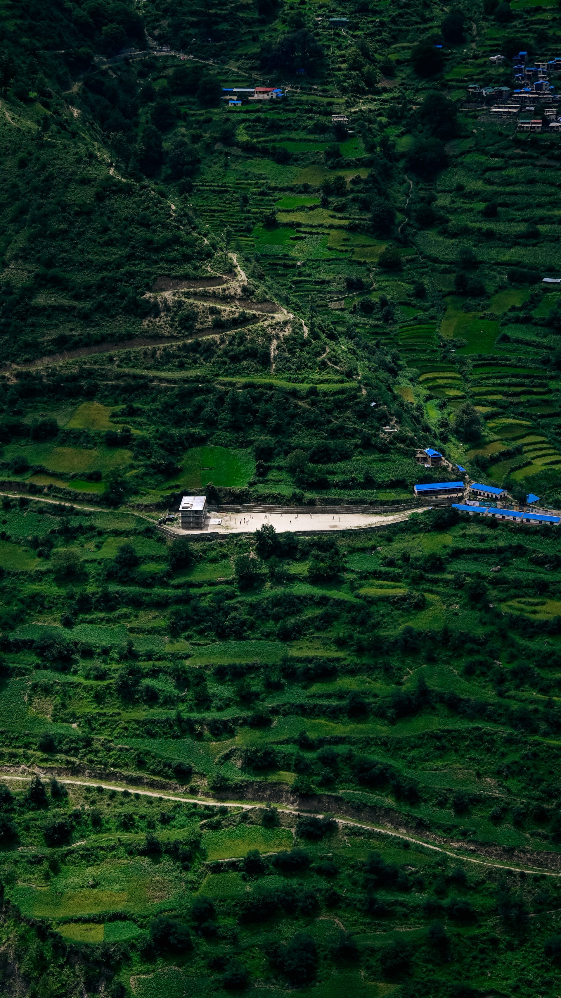
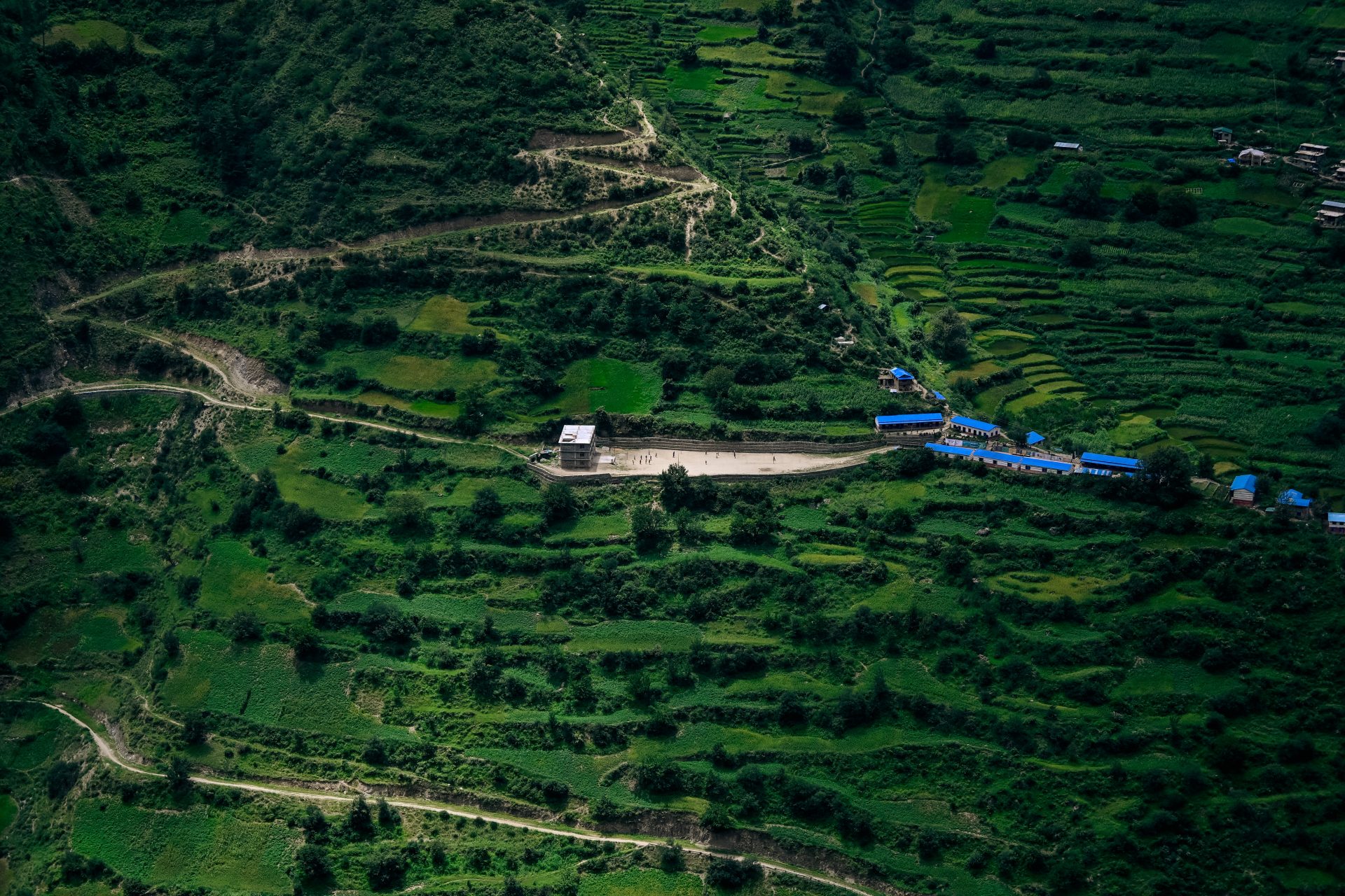
Following the main street down from Simikot is straightforward. After a small stop at a shop in the valley a new road goes up the mountain. Before the village it turns into a small and quite steep trail. For 700m it’s quite overgrown. There are no shops, guesthouse in Durpa – you could sleep at the school. The trail continues steep and plenty of water until the camp.
🔒 Login
DAY 7 – 23.20 km | 1.774m | 7h 45m | 9h 23m | Lek Puma
_DSC5366
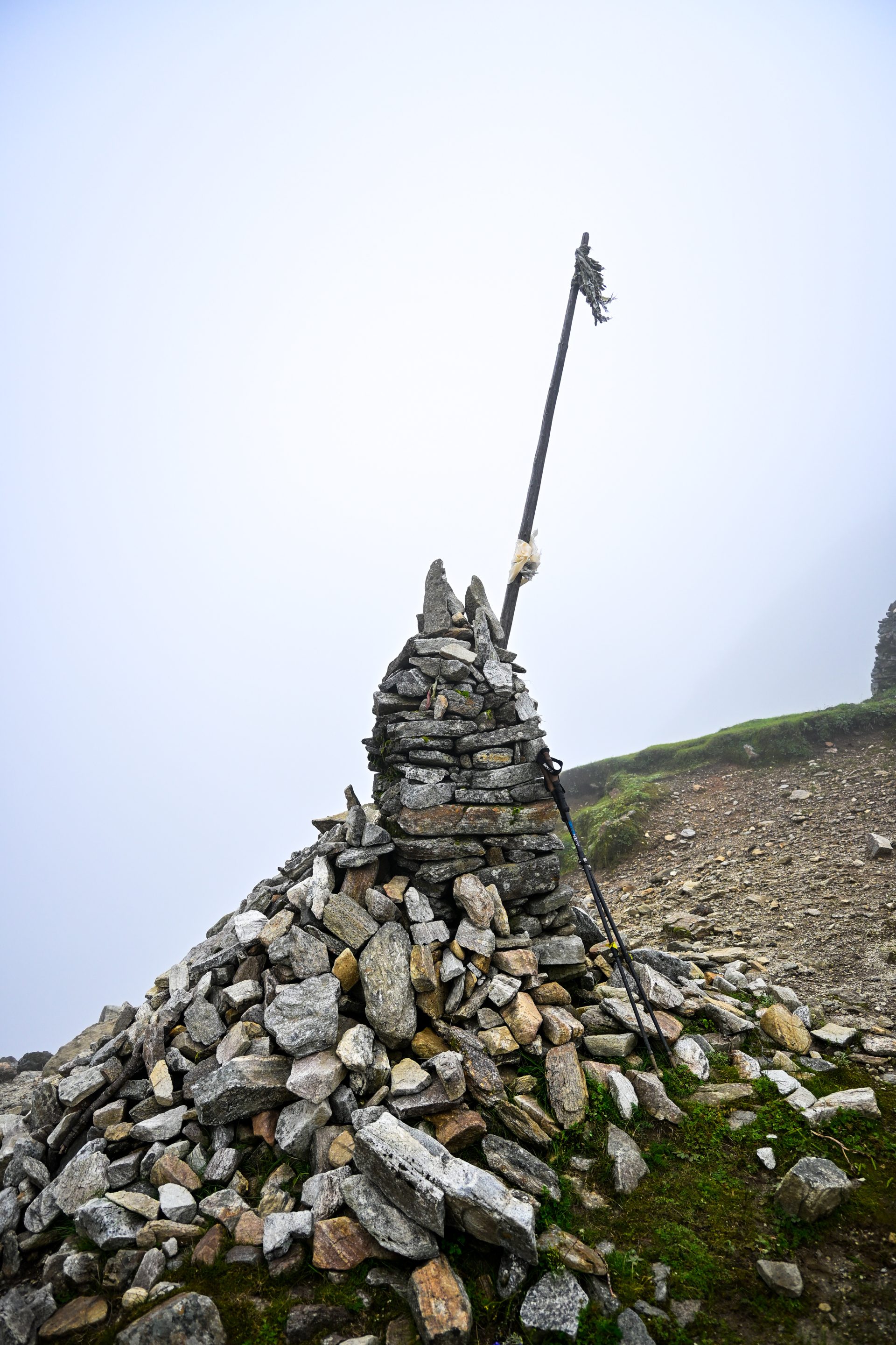
The trail is clearly visible but quite steep. There would be a nice place to pitch a tent, but it is exposed as there are no trees. The final kilometers to the pass are easy. After that, it’s a steep downhill. Before Phucha, there is a nasty overgrown section, which was the old road. According to the locals, there are no shops or guesthouses in Phucha. The climb is steep, and then you hit a road. You leave the road before Kallas. There was nothing there, same as in Lek Kuti. We camped close to Lek Puma.
🔒 Login
DAY 8 – 20.40 km | 457m | 5h 05m | 6h 07m | Piplang
_DSC5372
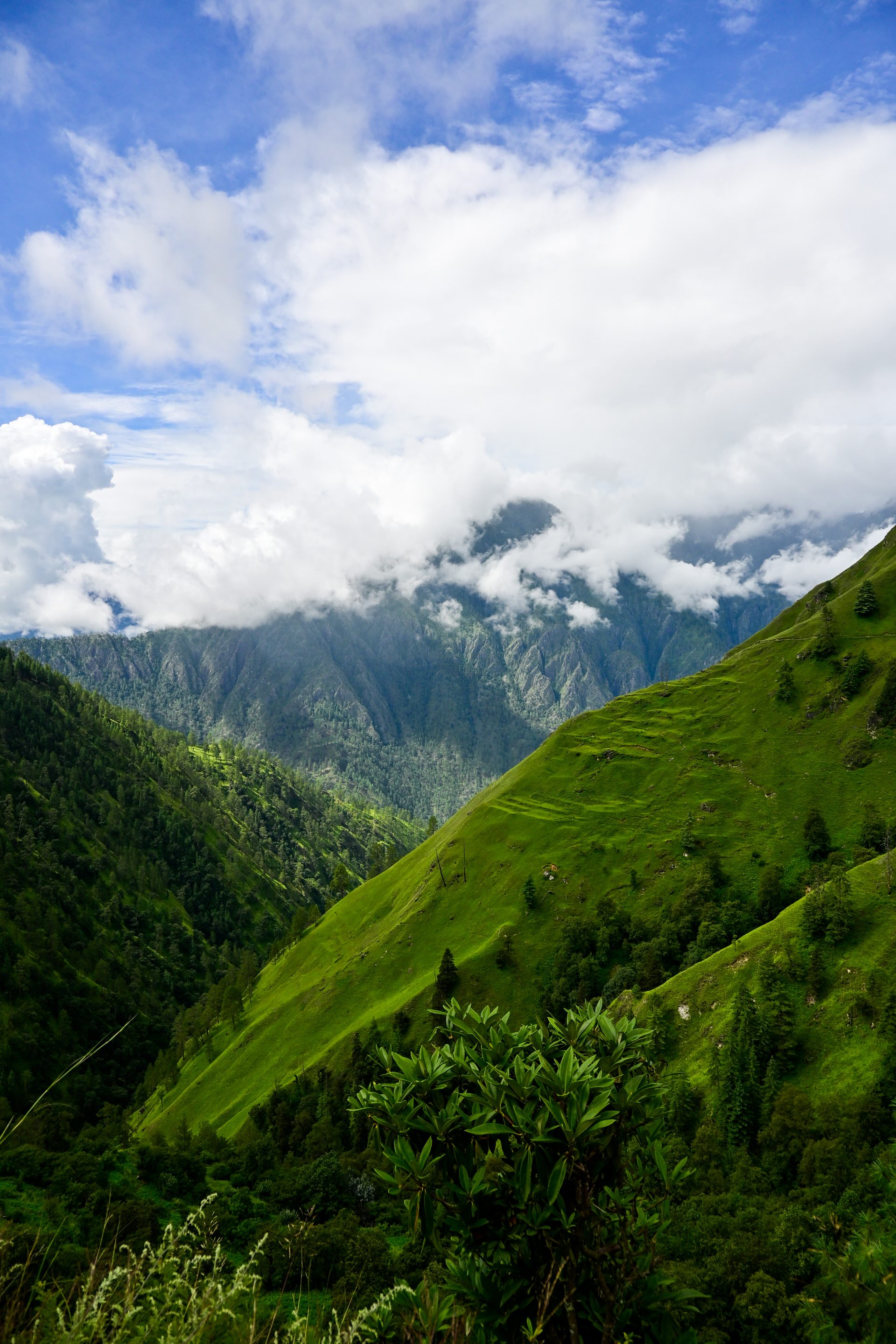
Check the trail carefully. There are multiple good trails, and we took the wrong one. You can also walk via Lek Puma – we took the shortcut. Good trail – just steep. The last climb to Korka is steep; after that, it’s road all the way to Piplang. You can shortcut the switchbacks. We didn’t.
🔒 Login
DAY 9 – 31.26 km | 1.815m | 6h 59m | 8h 15m | Rauli Khola
20260901_143635
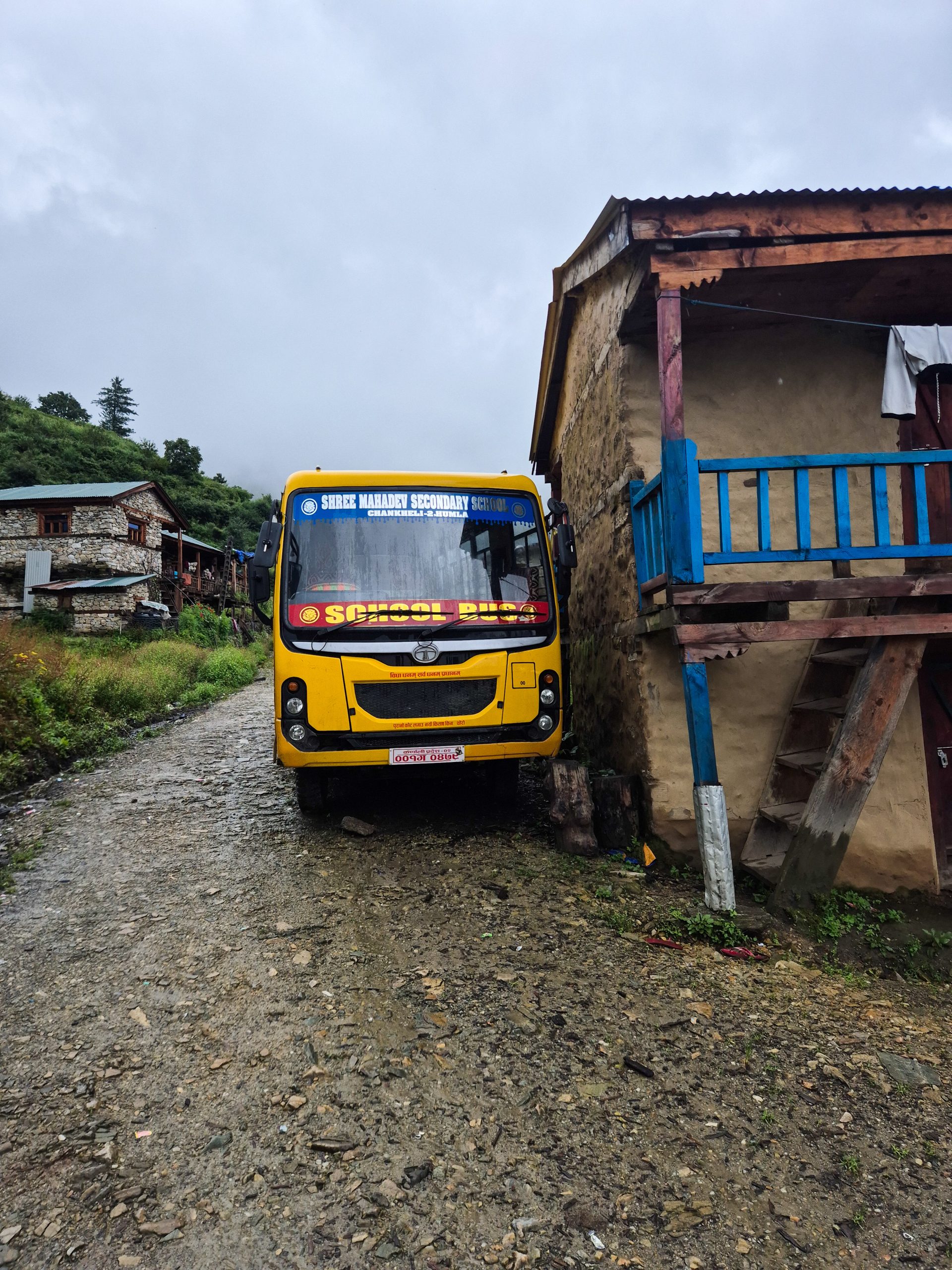
Good road all the way. You can shortcut multiple times. As we had bad weather, we stuck to the road. This is significantly longer. You can take the old road – marked as an alternative. We didn’t, as there was a lot of rain. Other than that, it’s all main road – straightforward.
🔒 Login
DAY 10 – 32.20 km | 1.106m | 7h 42m | 8h 54m | Gamgadhi
20260902_103835
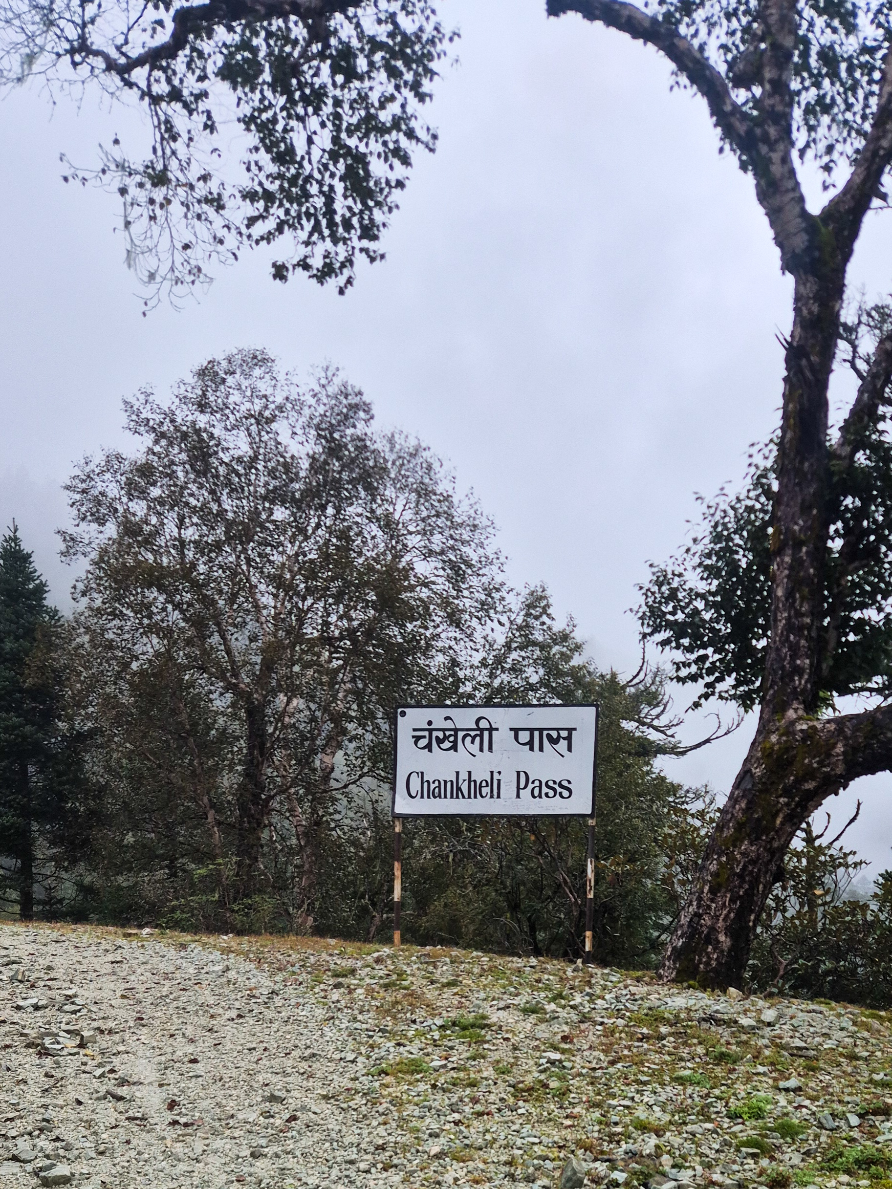
The entire section can be walked on the road. As the road switchbacks are very wide, we decided to shortcut them using the trail. After that, it’s all road if you want. We took a few shortcuts again. I would recommend taking the new bridge for cars, as the trail to the suspension bridge is in bad shape and offers no benefit.
🔒 Login
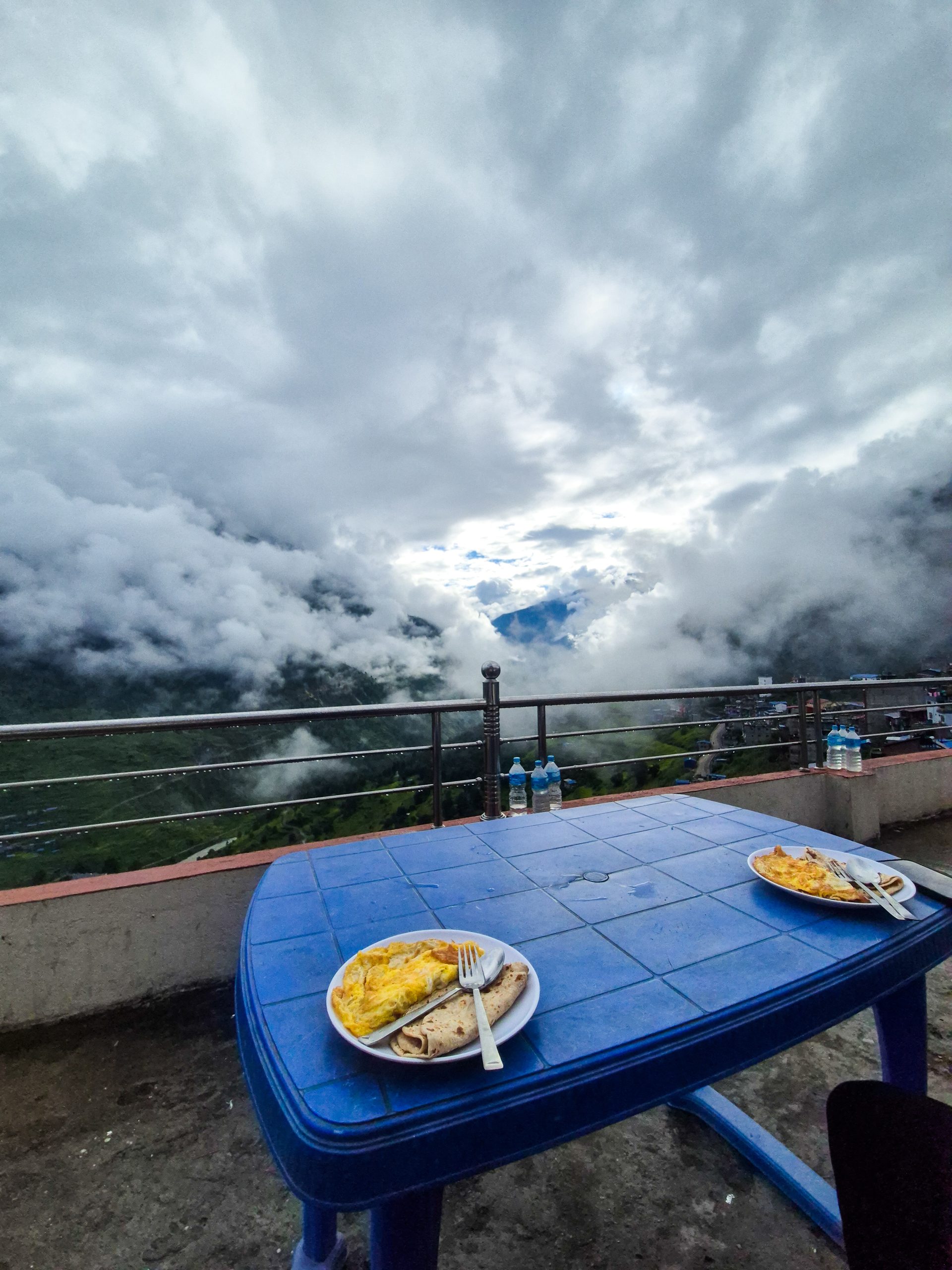
DAY 12 – 26.73 km | 1.146m | 6h 28m | 8h 07m | Magri Gaun
20260904_111633
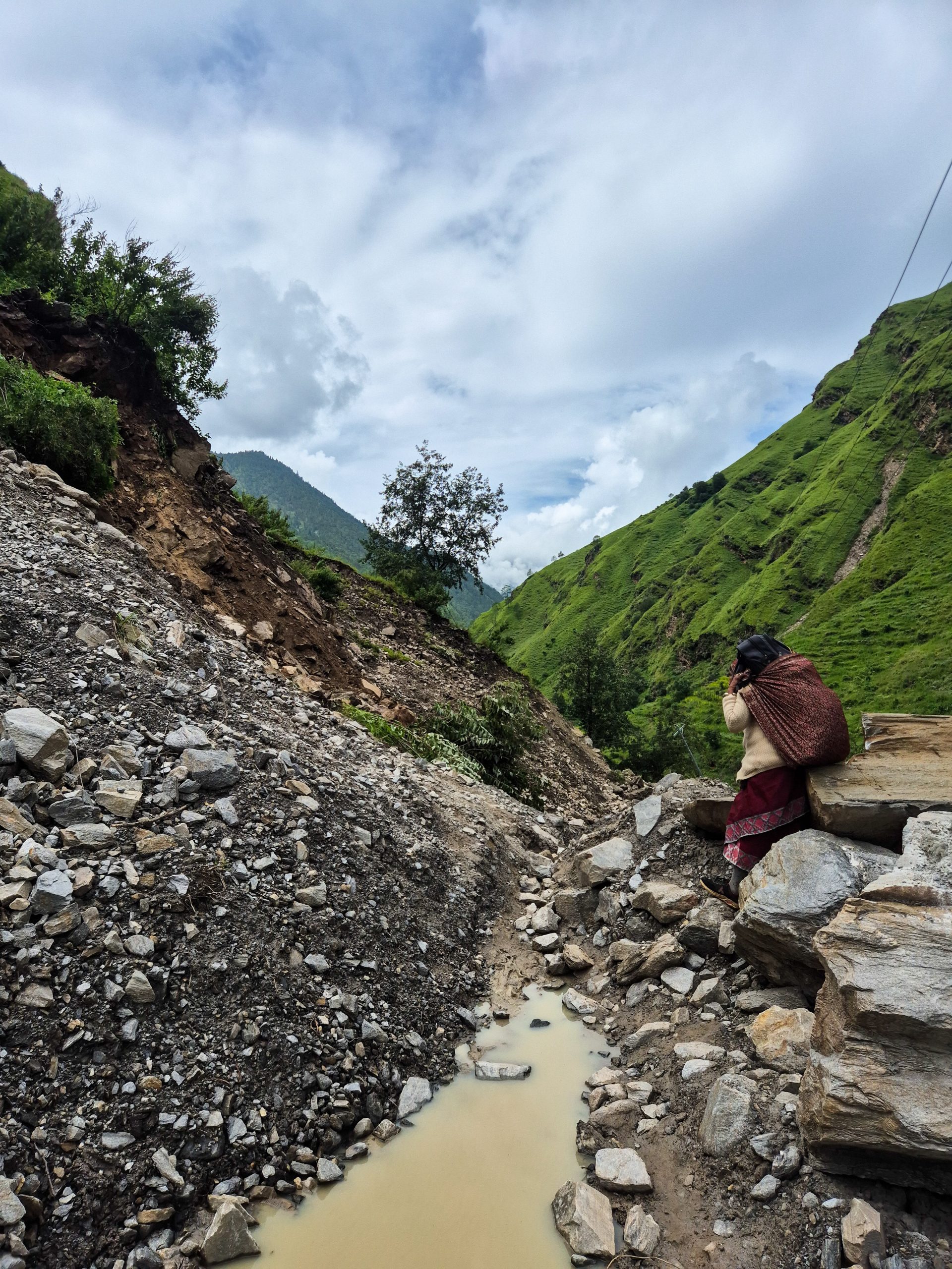
For the downhill from Gamgadhi, we took the trail shortcut – staying on the road would also have been possible. IMPORTANT: Construction on the new road destroyed a possible connection to get from the road to the trail. We had to take a huge detour. Check before you enter the section if it’s possible. If yes, follow the road/trail, as the detour is way longer and has more elevation gain.
🔒 Login
DAY 13 – 26.98 km | 1.368m | 6h 38m | 8h 38m | Siraanchaur
20260905_085307
20260905_102457
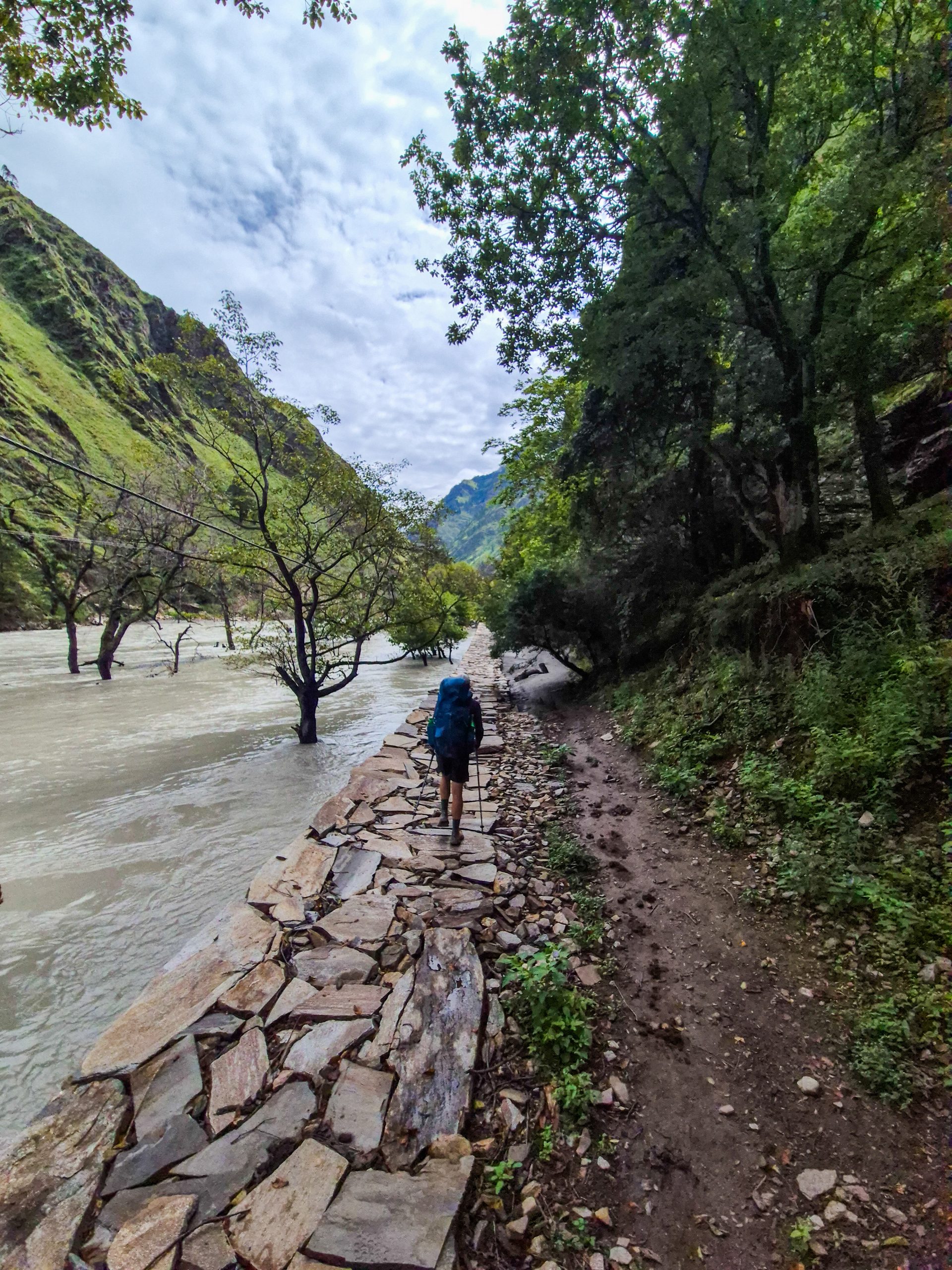
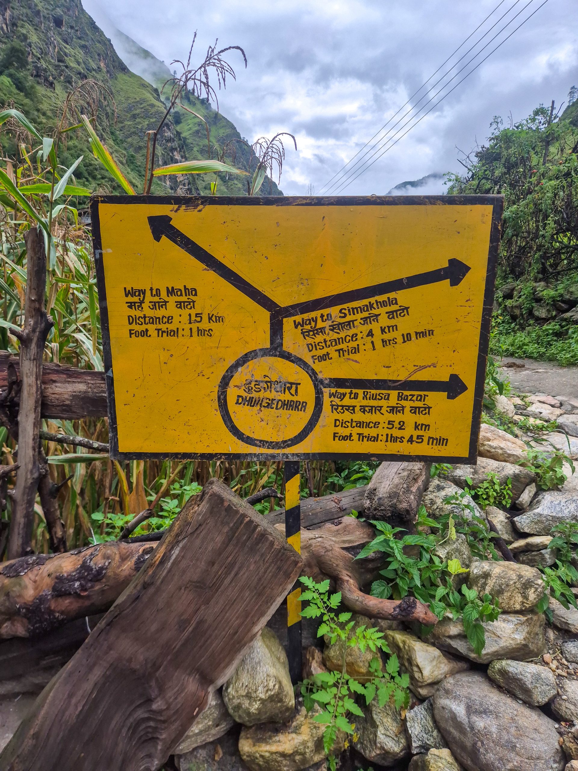
Straightforward trail, good and clearly visible. Multiple hiking signs along the way.
🔒 Login
DAY 14 – 14.95 km | 1.686m | 5h 17m | 5h 46m | Mugu
20260906_083547

It starts steep and quite overgrown. There were 2 parties before us with mules, which cleared the way a bit. Overall a good, easy-to-follow trail, just overgrown from time to time until you are above the tree line. There is one section where you have to walk in the river for ~30 m. It’s shin-deep, low volume, and low speed. Just hug the stones – the trail is easy to spot after this section. Above the tree line, it’s easy.
🔒 Login
DAY 15 – 15.44 km | 1.498m | 6h 35m | 8h 53m | Mugu
20260906_131350
20260907_105249
20260907_161810
20260907_155520
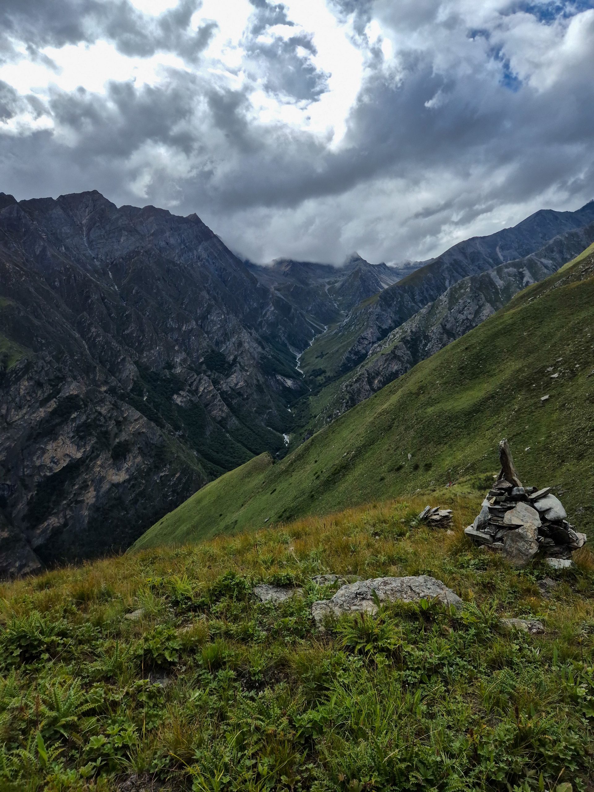
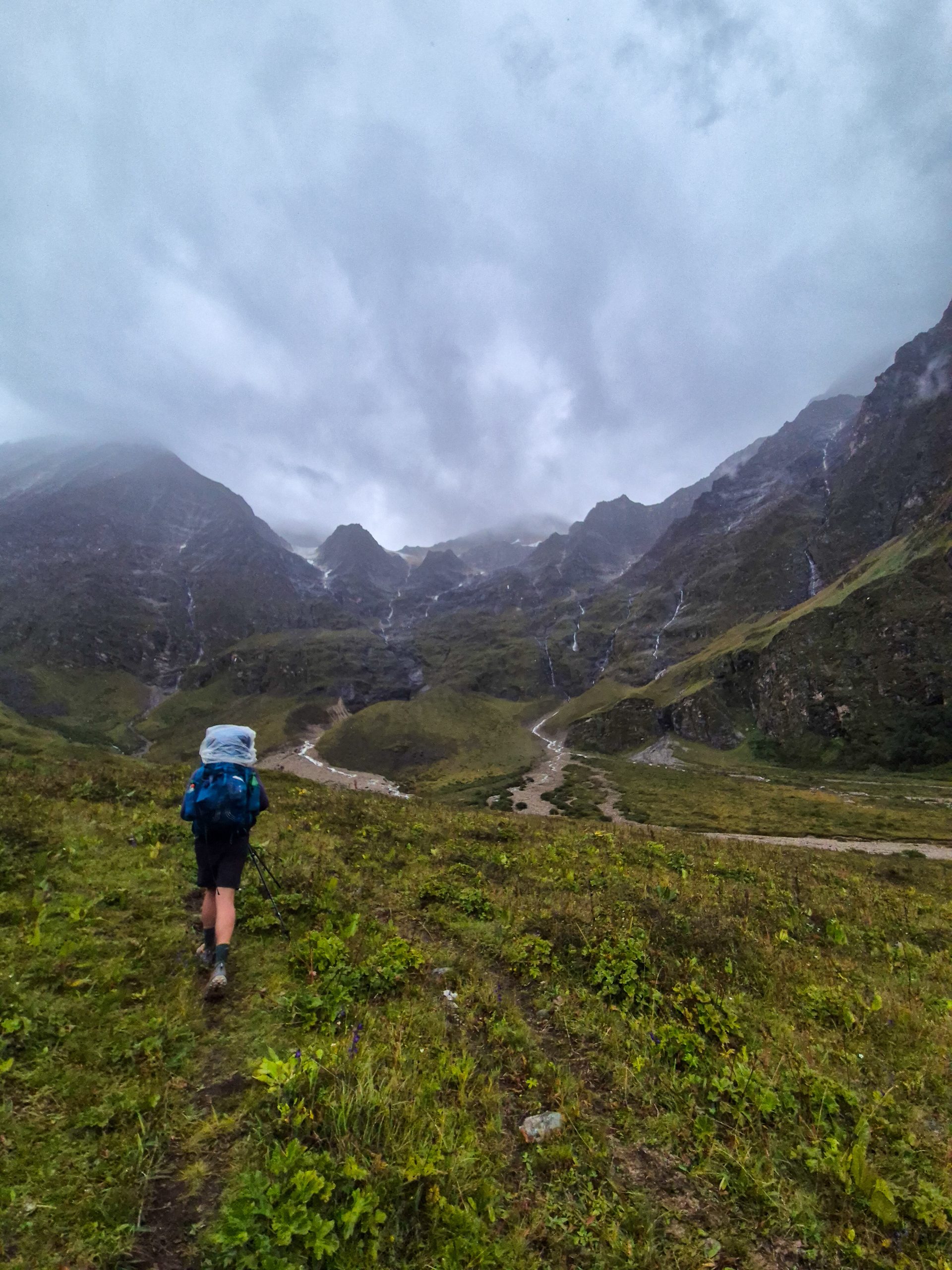
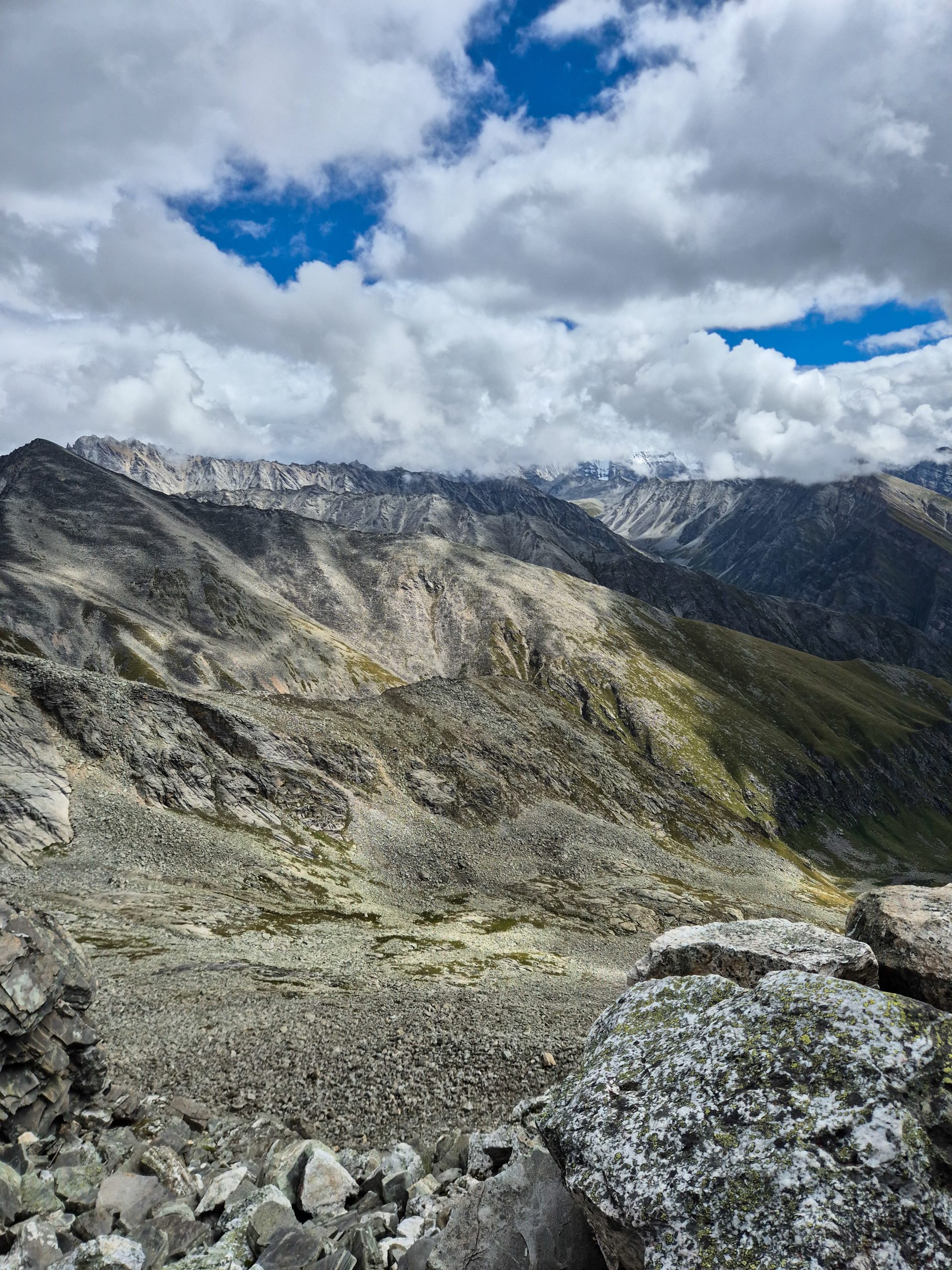
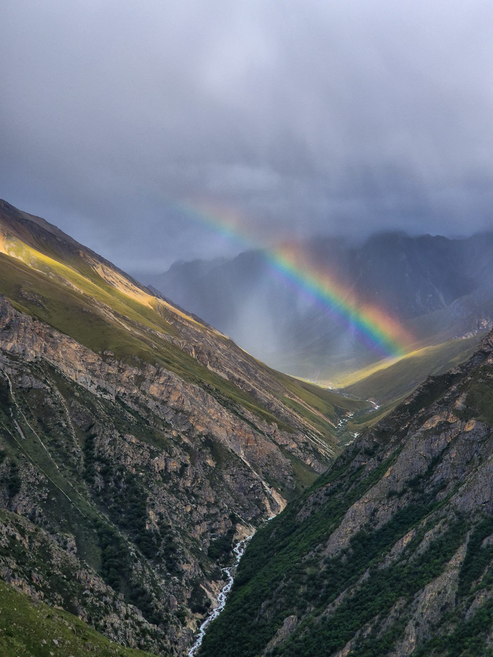
Good trail and easy pass. The downhill also has a good trail. There is one section that is a bit overgrown. The 2nd pass is nasty. Very steep and slippery on both sides. In the center, there are two sections that require your hands – but nothing extreme.
🔒 Login
DAY 16 – 22.29 km | 1.550m | 7h 56m | 9h 39m | Bhijer
20260908_140048
20260908_160954
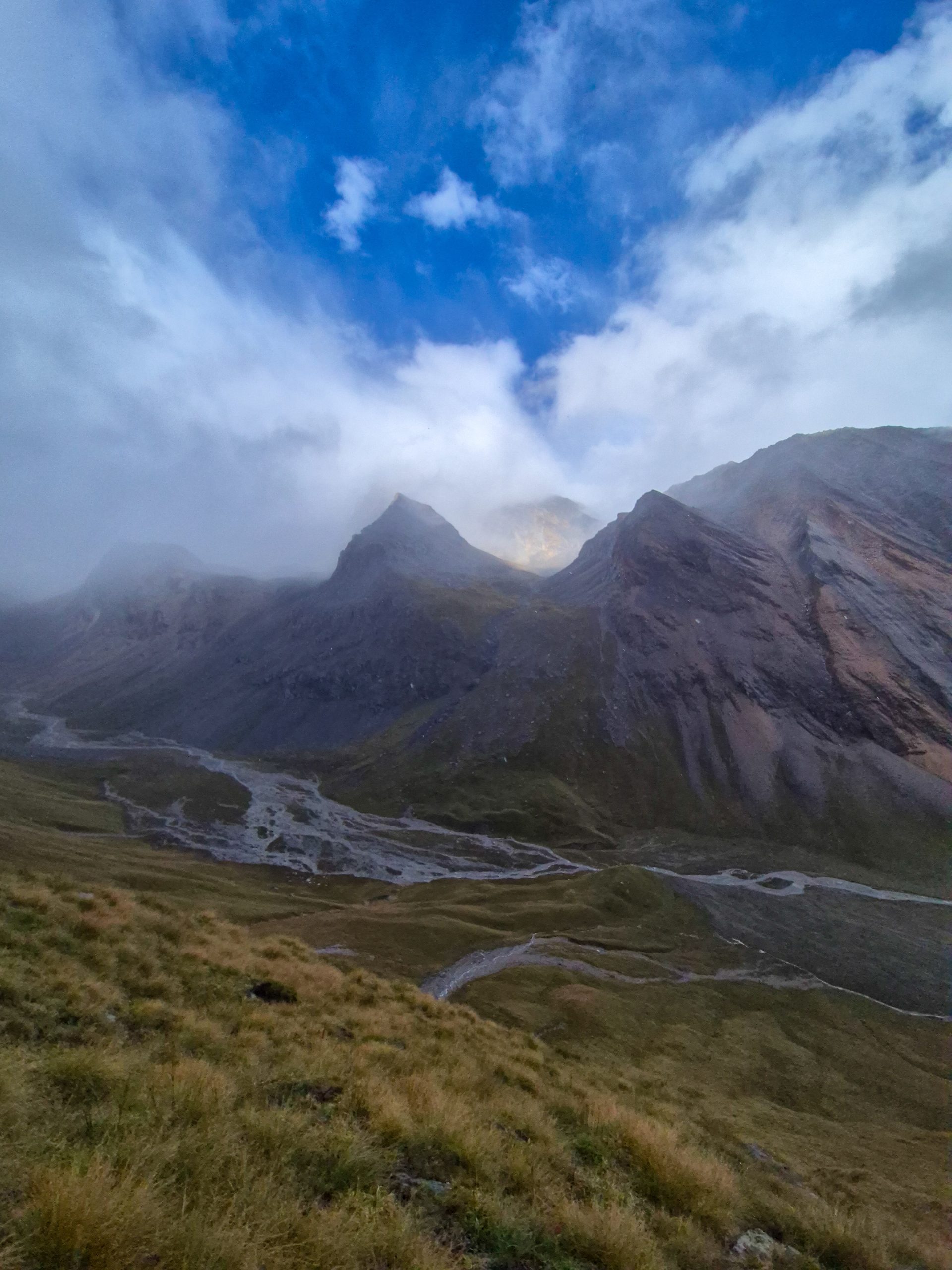
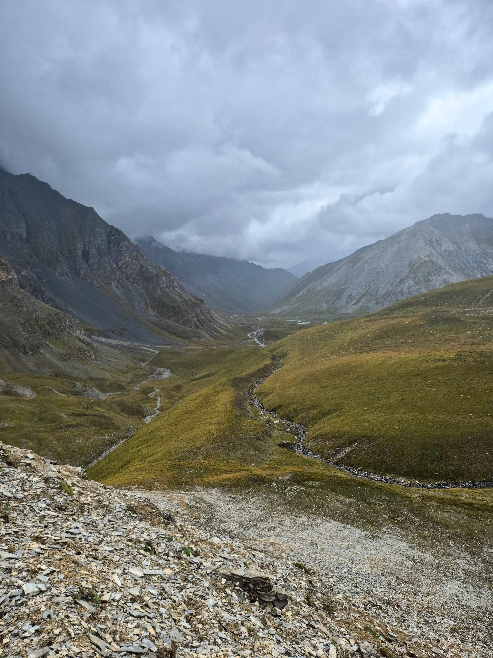
As the information here is quite poor, here is an attempt at an explanation: There is a trail on the southern side and on the northern side. The trail on the north is steep and has a few meters of elevation gain. There are 2 cliffs where you have to go above them if the water is too high; otherwise, you can take the trail close to the water. This is the more exhausting but safer option as you don’t have to ford the river – this route is also taken by tours with mules. The southern trail is easier and has way less elevation gain. BUT you have to cross at least 2 times – 4 if you have to go around the cliff. We took the northern trail. After that, it’s easy CC until a steep, stony part. Check the route in advance – it’s fairly straightforward. Stay above the cairns. The last meters of the Yala Bhanjyang Pass are slippery rock and mud. The downhill was easy. It’s mainly trail and CC [cross country].
🔒 Login
DAY 17 – 16.25 km | 1.253m | 6h 32m | 8h 19m | Pho
_A742659
_DSC5398
_DSC5403
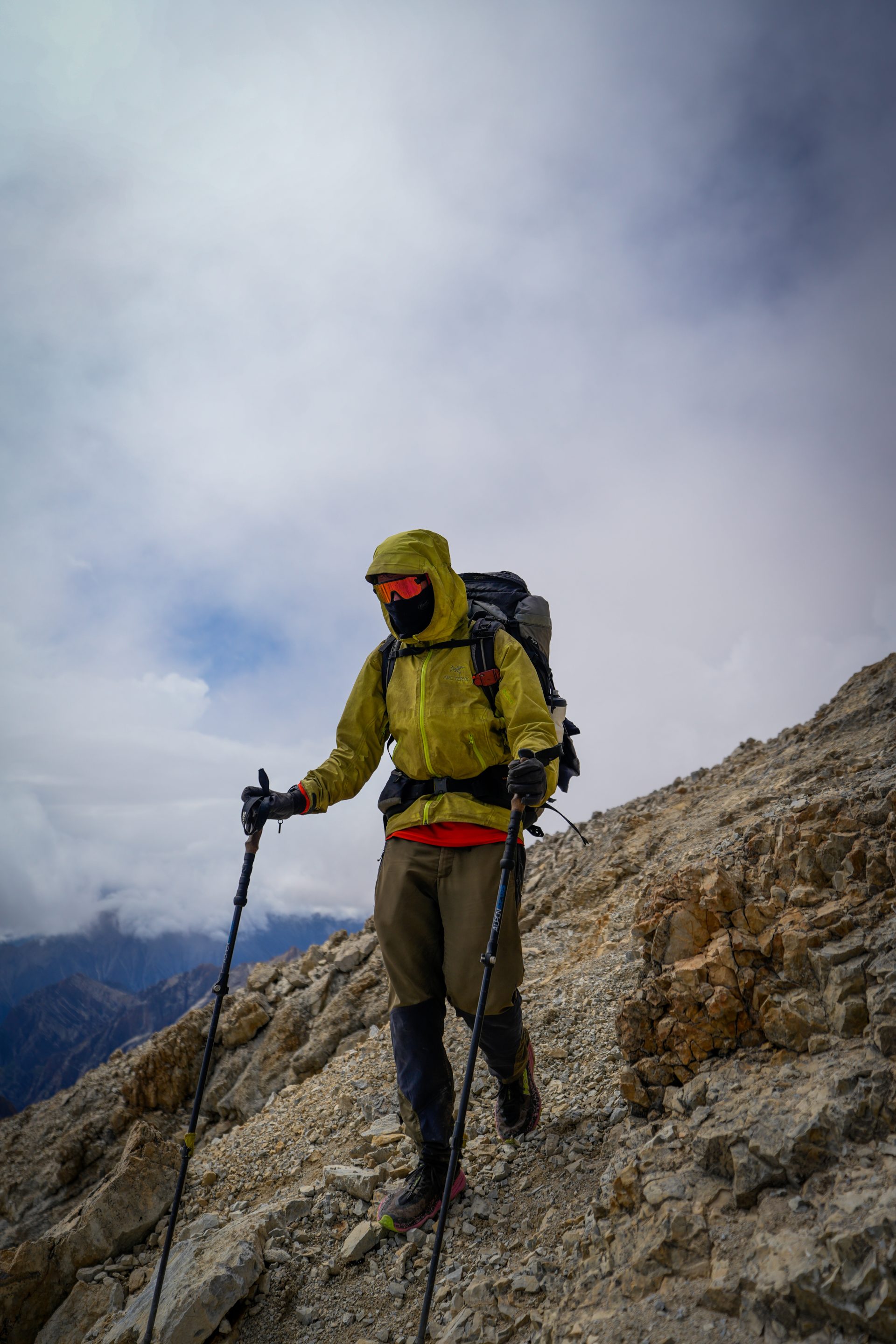
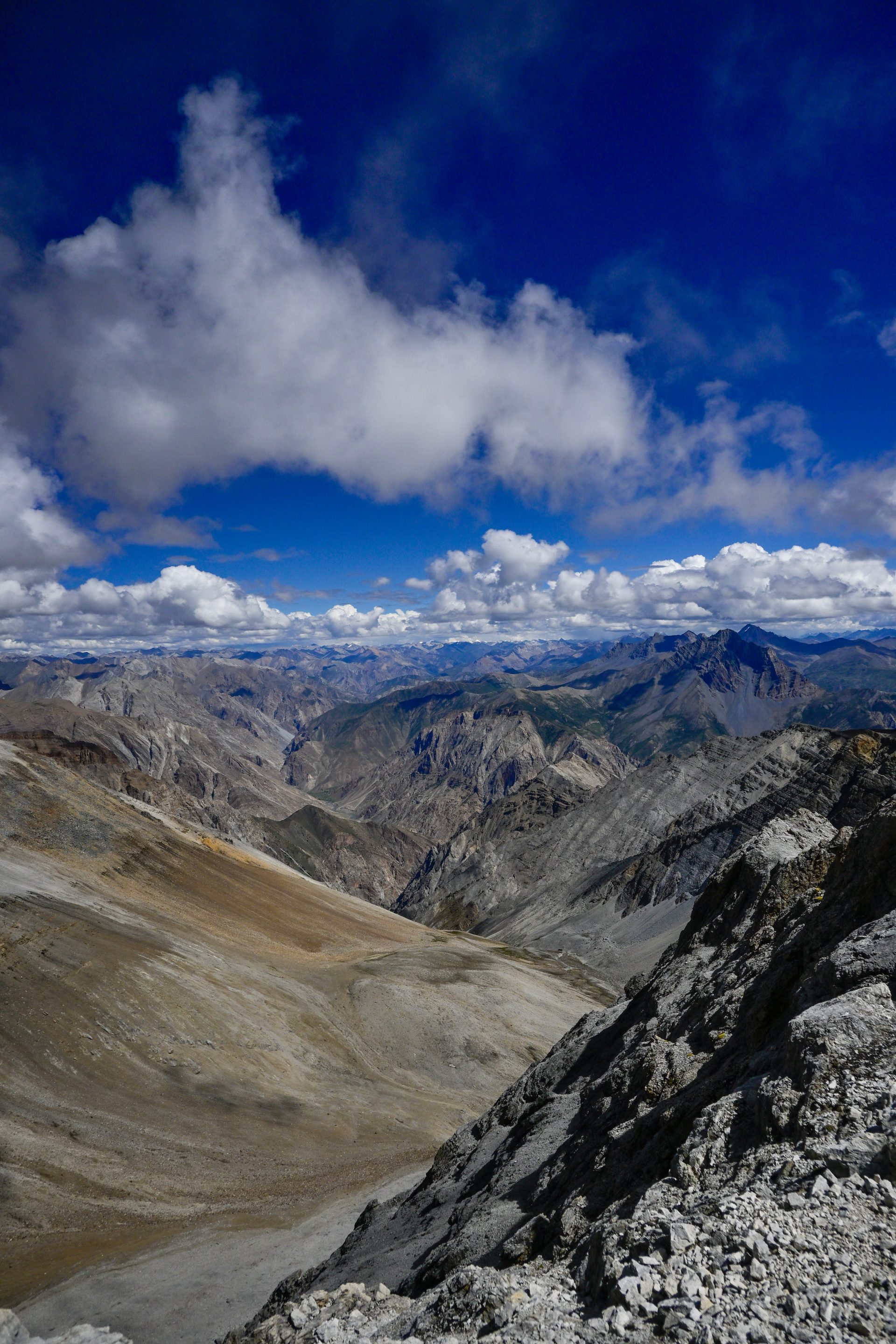
The ascent is an easy trail. Steep, but continuous. The last part is still a trail, but with loose gravel. After the pass, it’s a good trail to the summit and all the way down to Pho.
🔒 Login
DAY 18 – 16.24 km | 1.474m | 6h 00m | 7h 18m | Bhijer
20260912_155306
20260909_155401

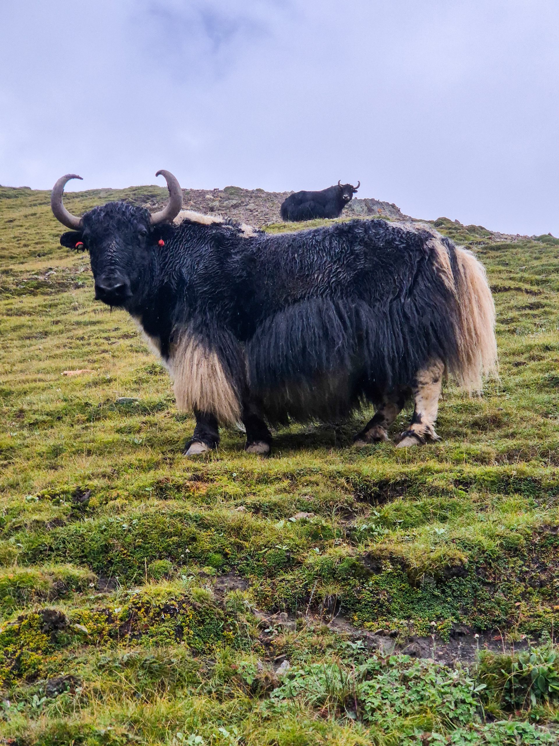
All easy trail – straightforward.
🔒 Login
DAY 20 – 20.19 km | 1.556m | 6h 53m | 8h 07m | Shey
20260914_083123
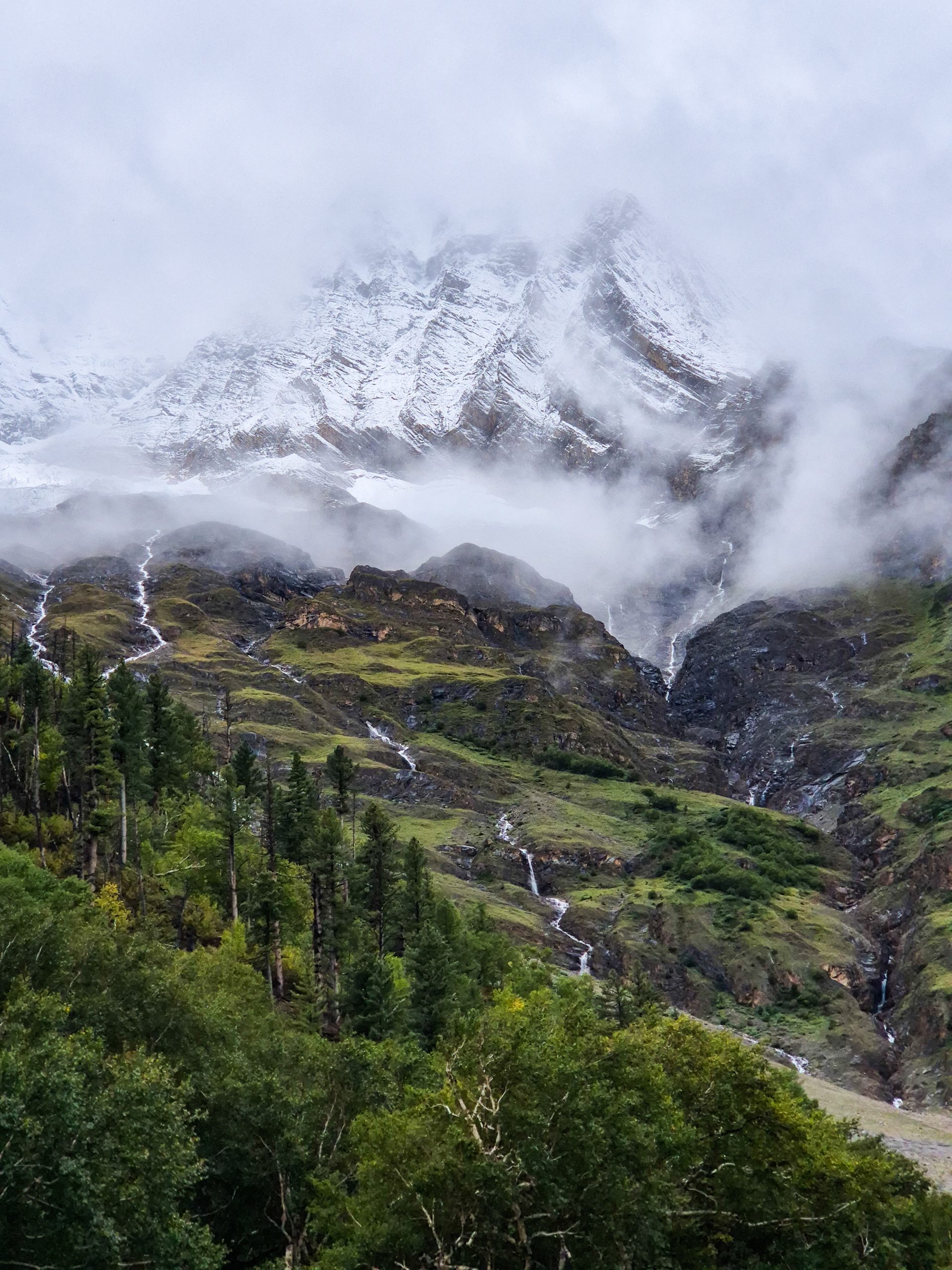
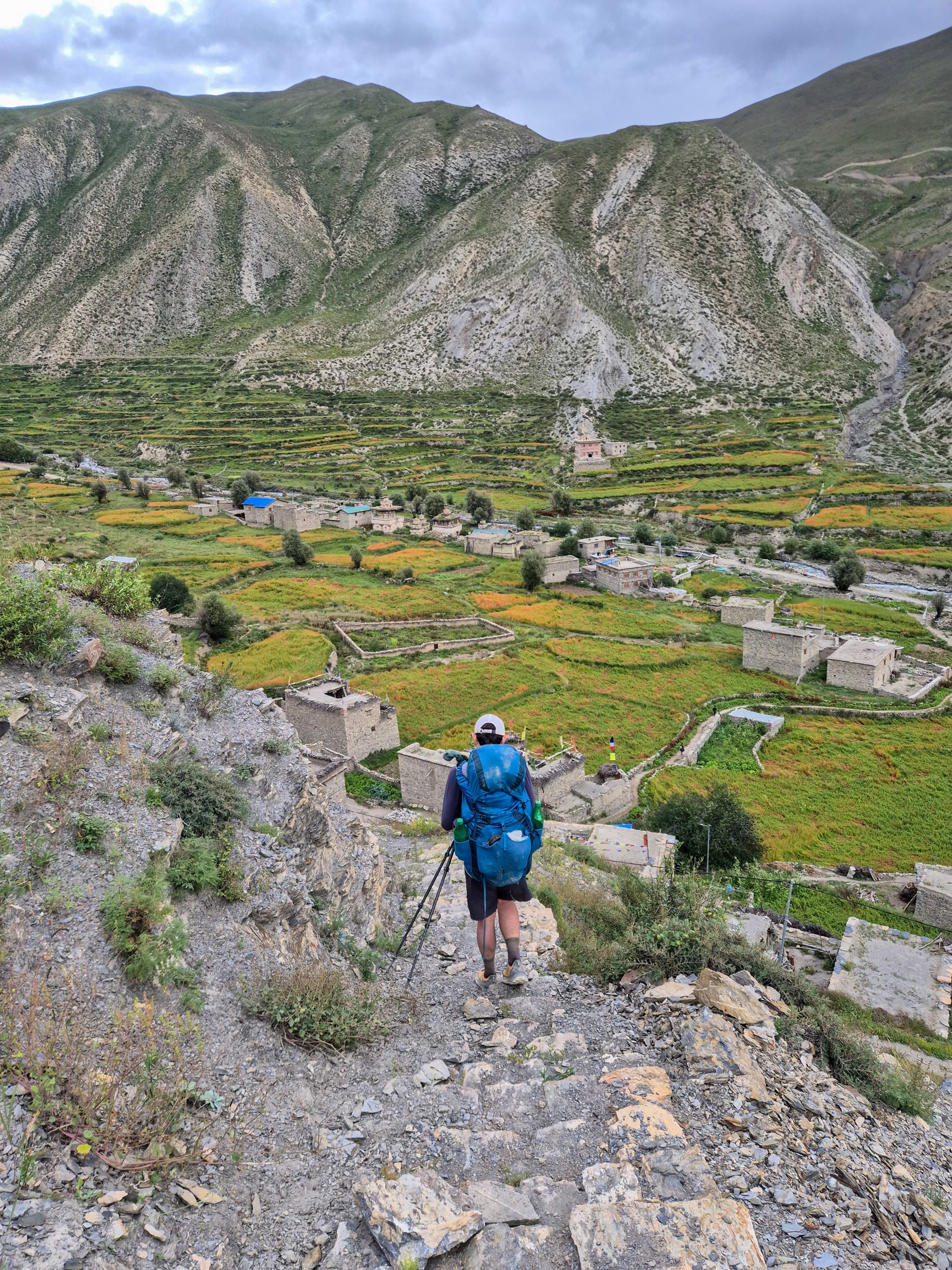
All easy trail – straightforward. The climb/descent to Shey can be very muddy and slippery when it’s raining.
🔒 Login
DAY 21 – 24.52 km | 1.079m | 8h 46m | 9h 33m | Phoksundo Lake
20260913_122056
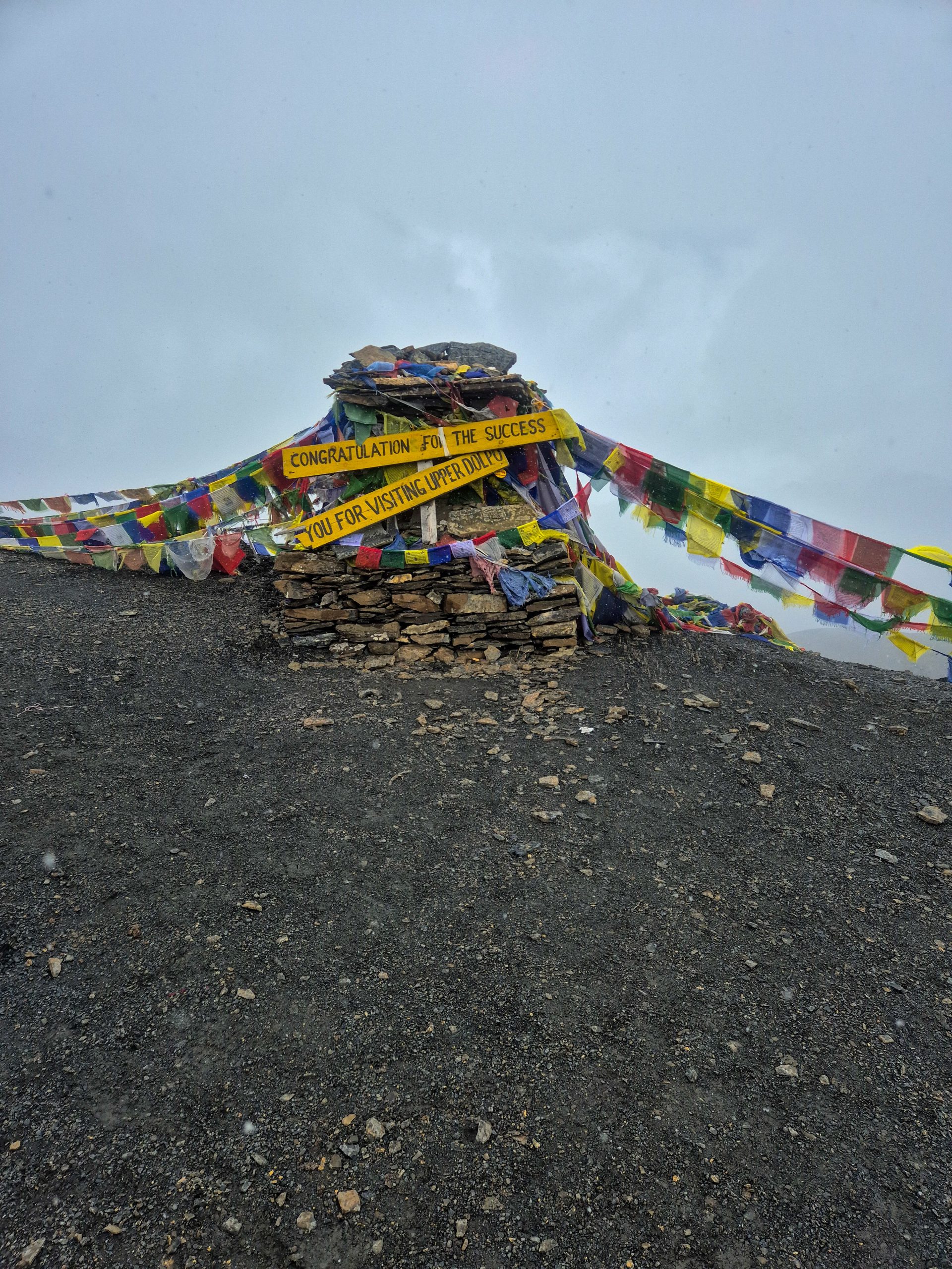
The trail up to the pass is easy and straightforward. The canyon has some improvised bridges. No guarantee that they will be there the whole time. If not present, you have to ford. The river is way wider than what can be seen on OSM, which leads to larger sections that are a mixture of a lot of fording and bushbashing, depending on where you ford.
🔒 Login
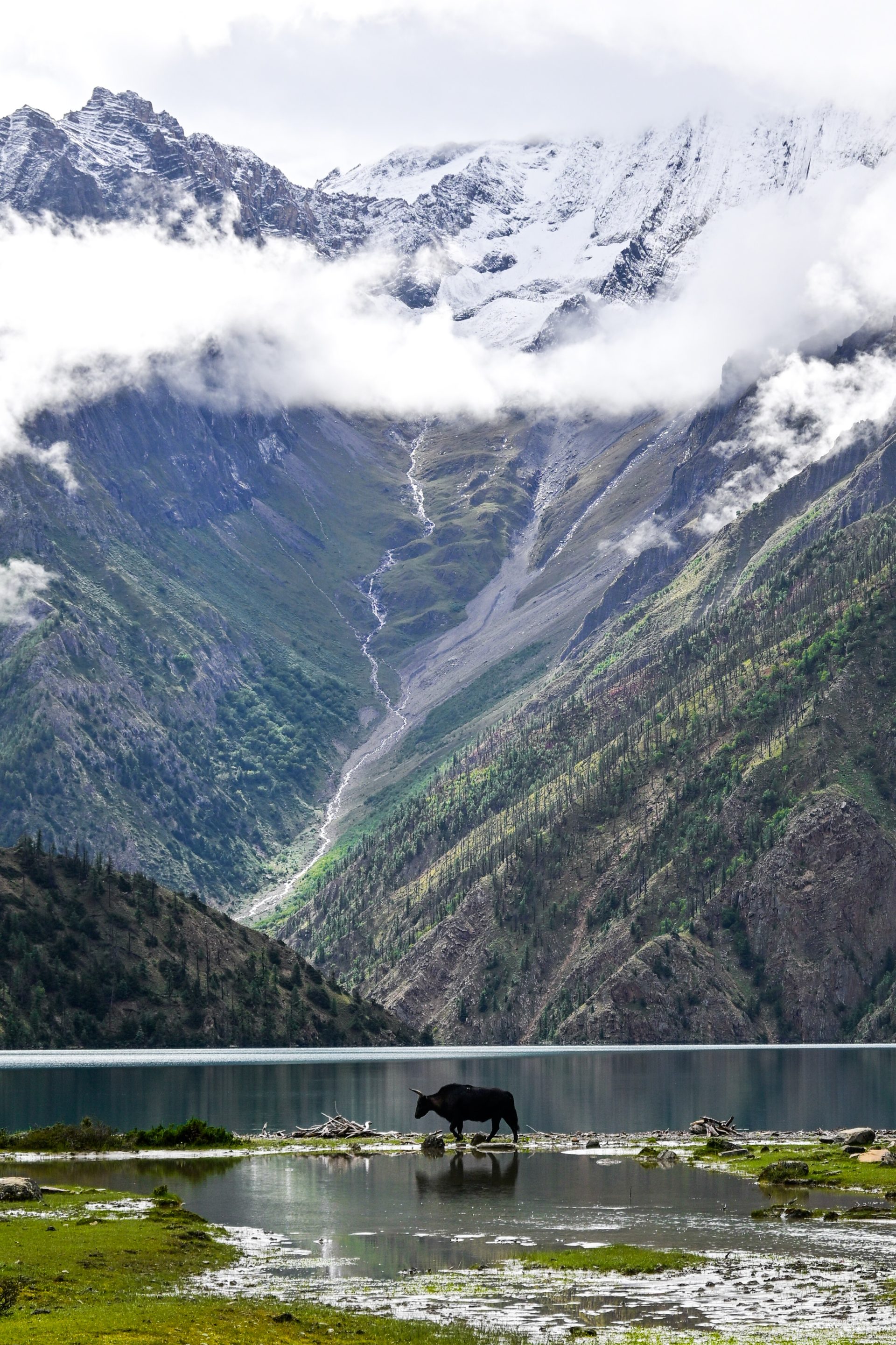
DAY 22 – 10.58 km | 568m | 3h 07m | 3h 24m | Ringmo
_DSC5451
20260914_094628
_DSC5419
_DSC5456
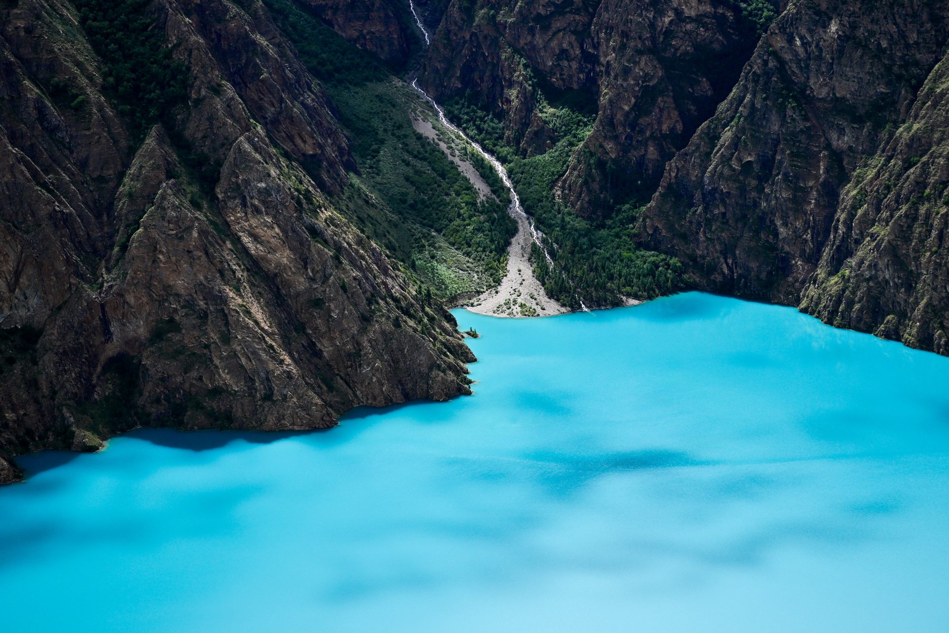
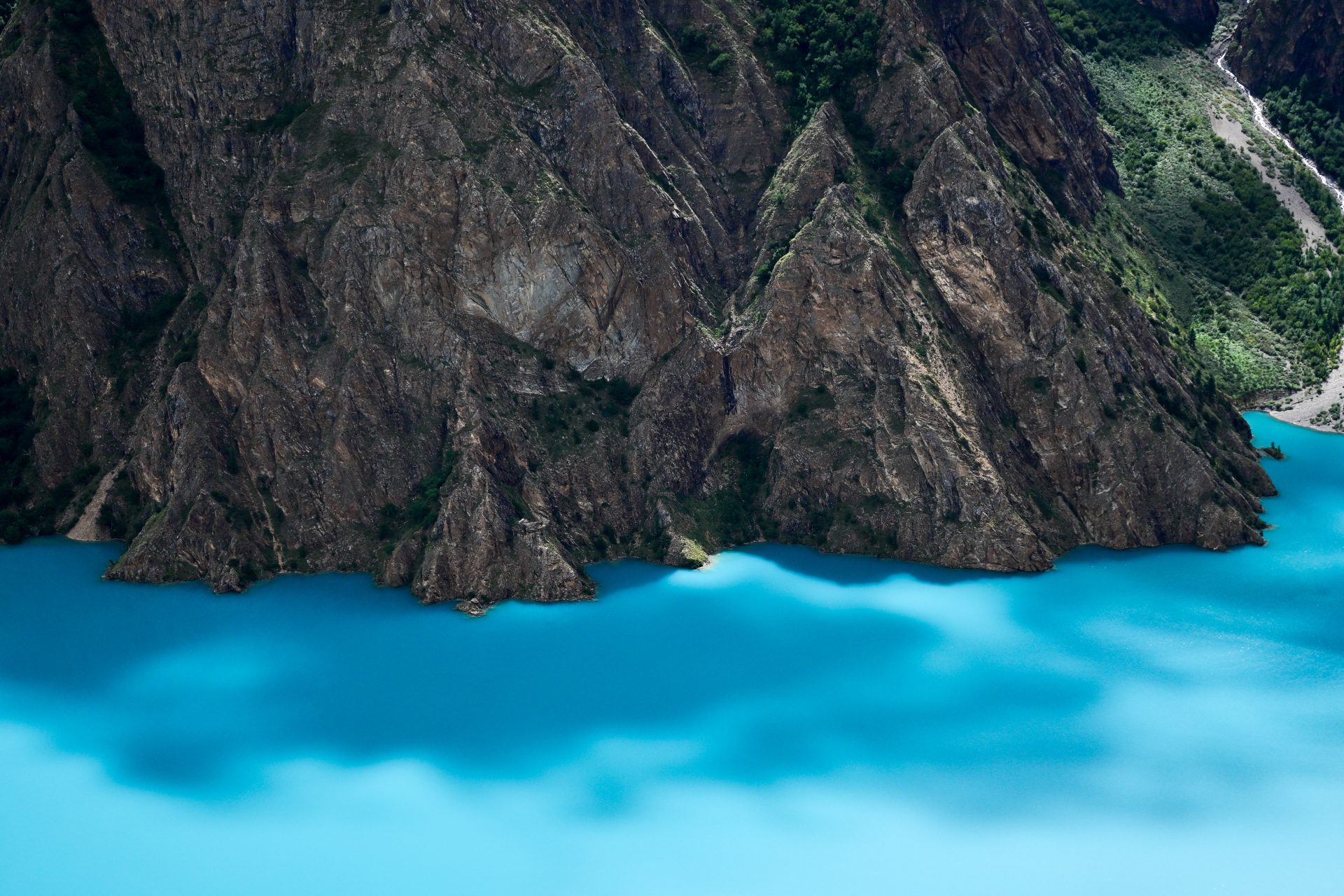
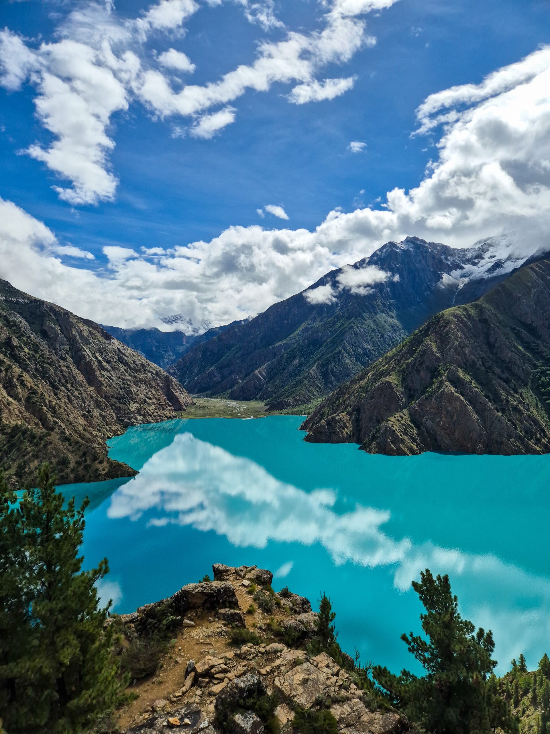
Easy trail and straightforward.
🔒 Login
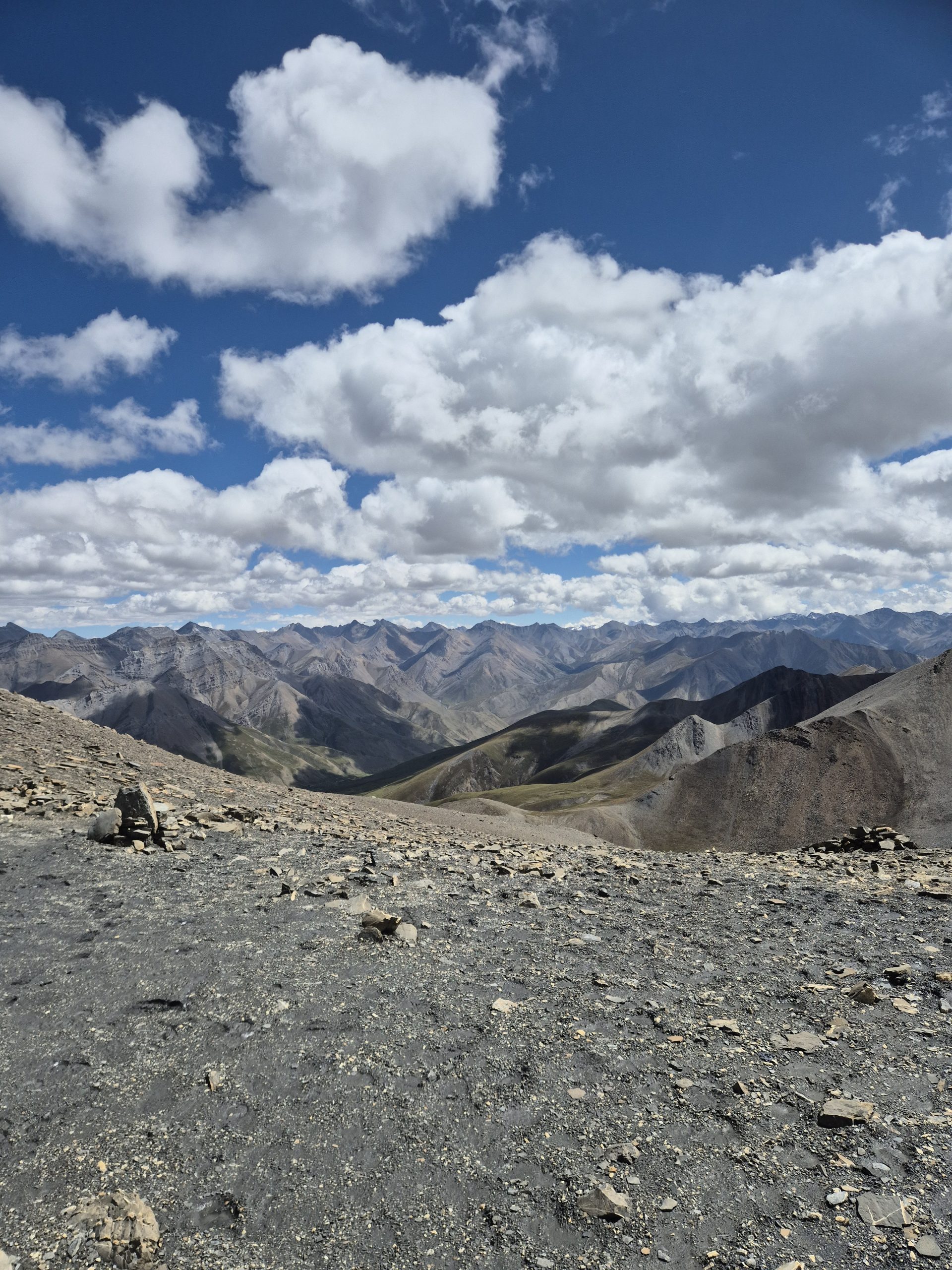
DAY 23 – 19.74 km | 1.882m | 7h 05m | 8h 02m | Danigar
20260916_121640
20260915_160640
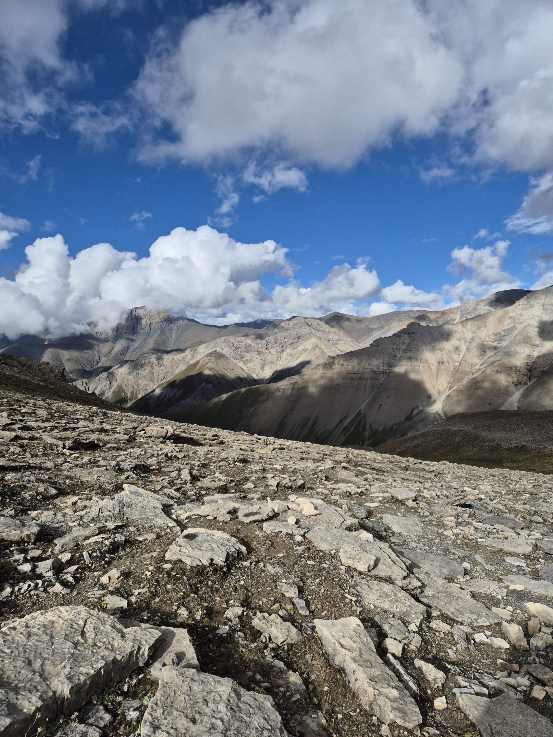
Easy trail and straightforward. One section with a very close call and a near-death experience due to rockfall.
🔒 Login
DAY 24 – 21.18 km | 1.026m | 6h 32m | 7h 10m | Dho Tarap
20260915_163709
_DSC5462
20260915_154924
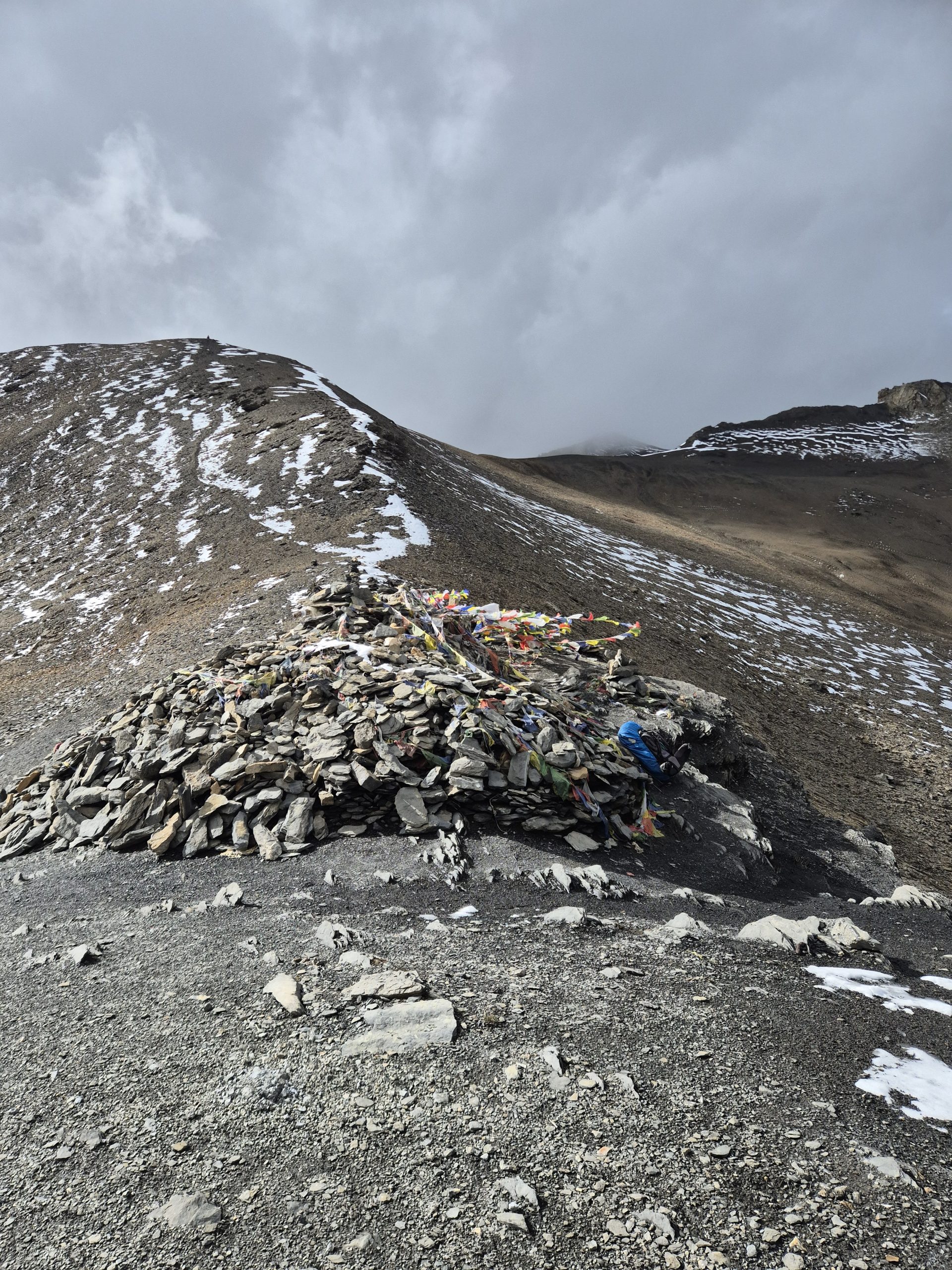
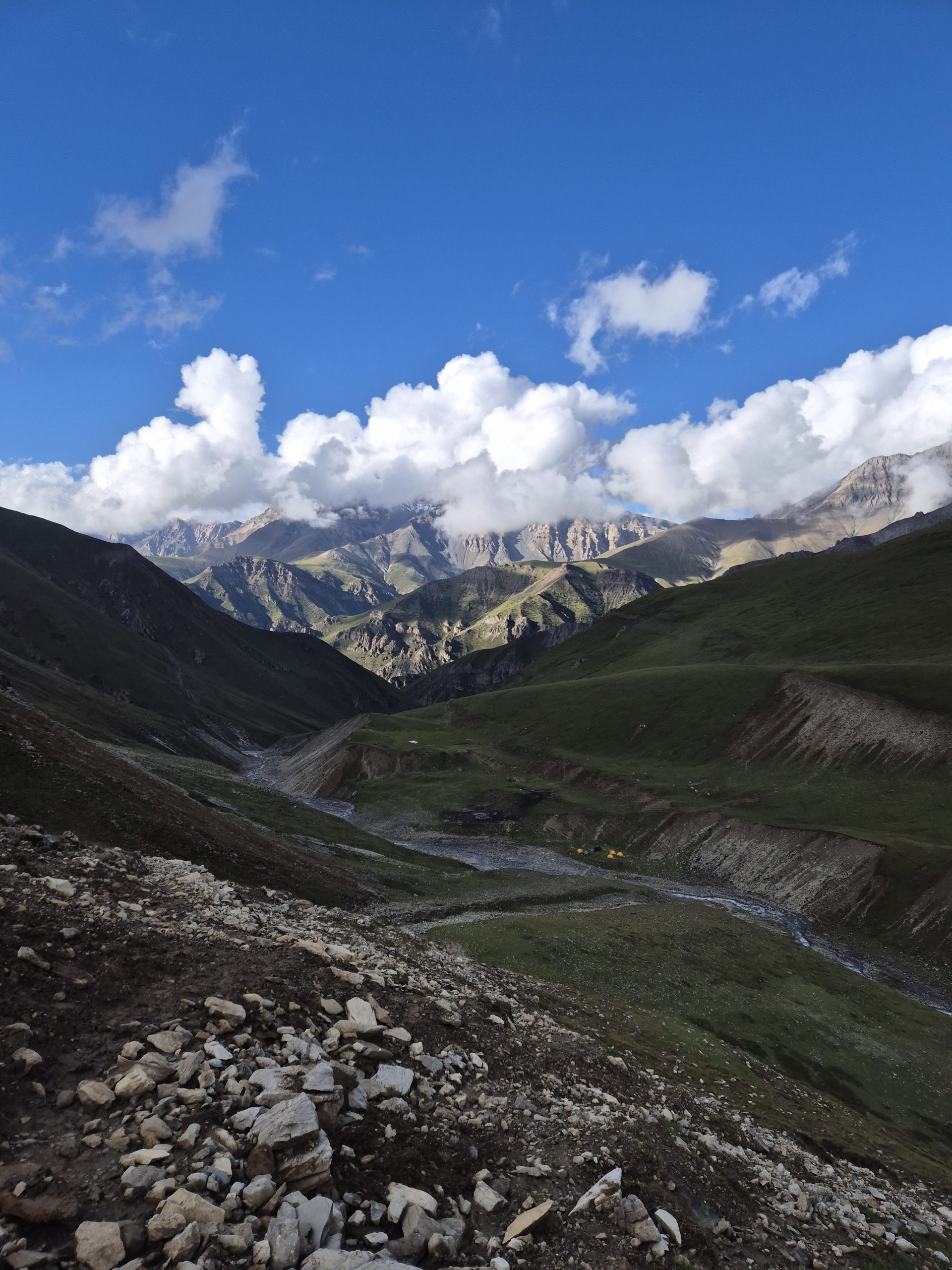
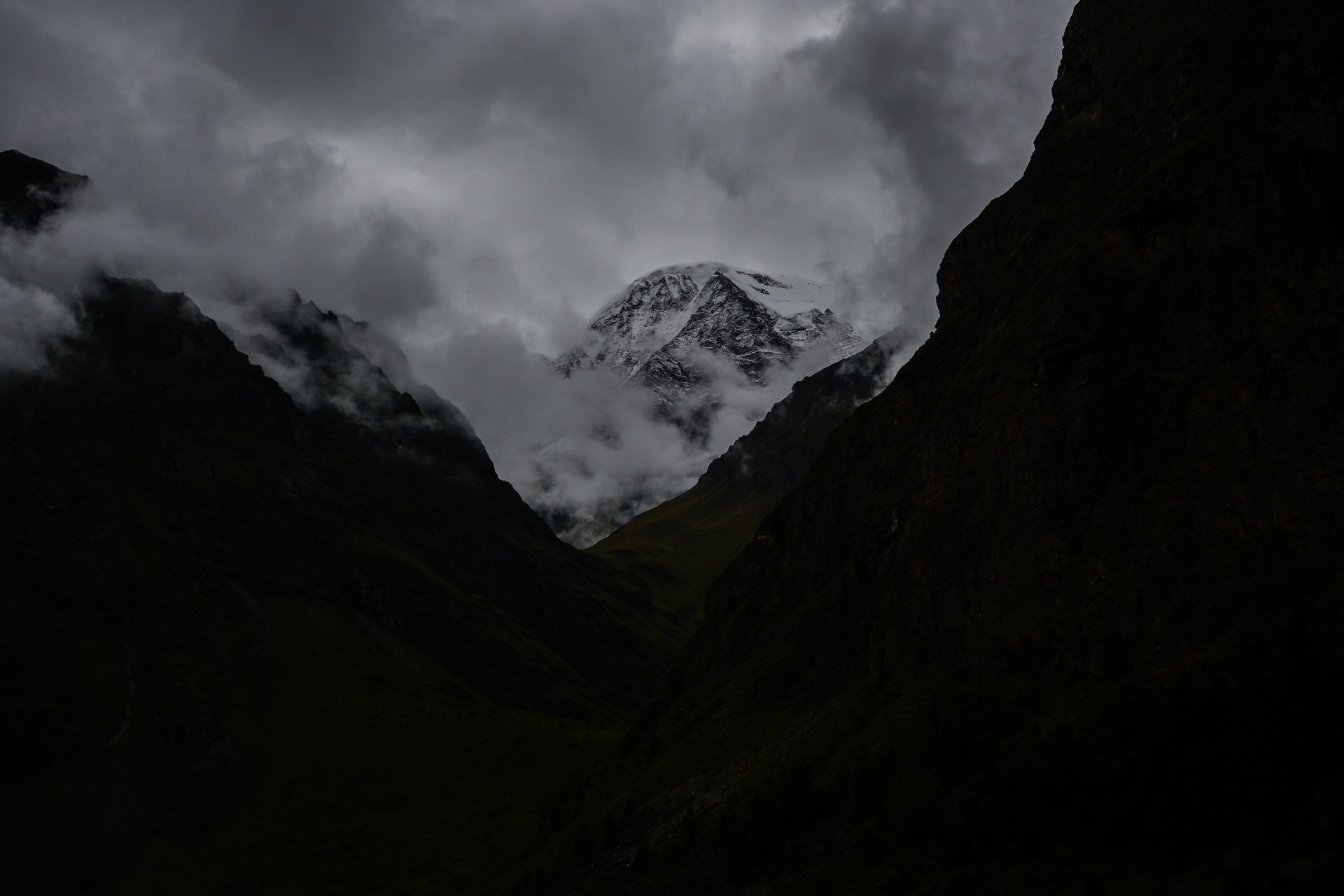
Straightforward trail walking, and the rest is on a road.
🔒 Login
DAY 26 – 26.68 km | 1.398m | 7h 10m | 7h 54m | Chap Chu
_DSC5468
_DSC5470
_DSC5475
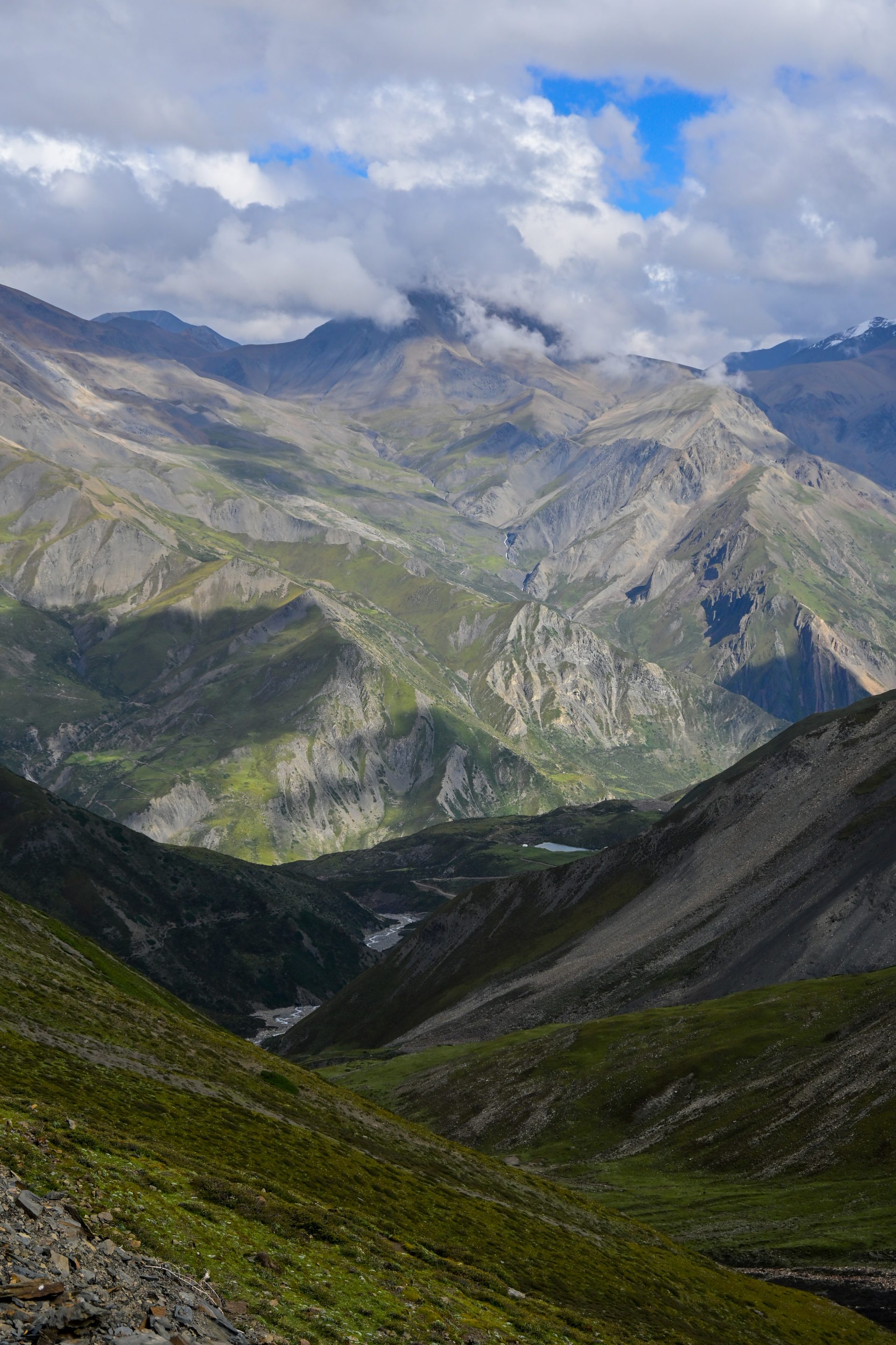
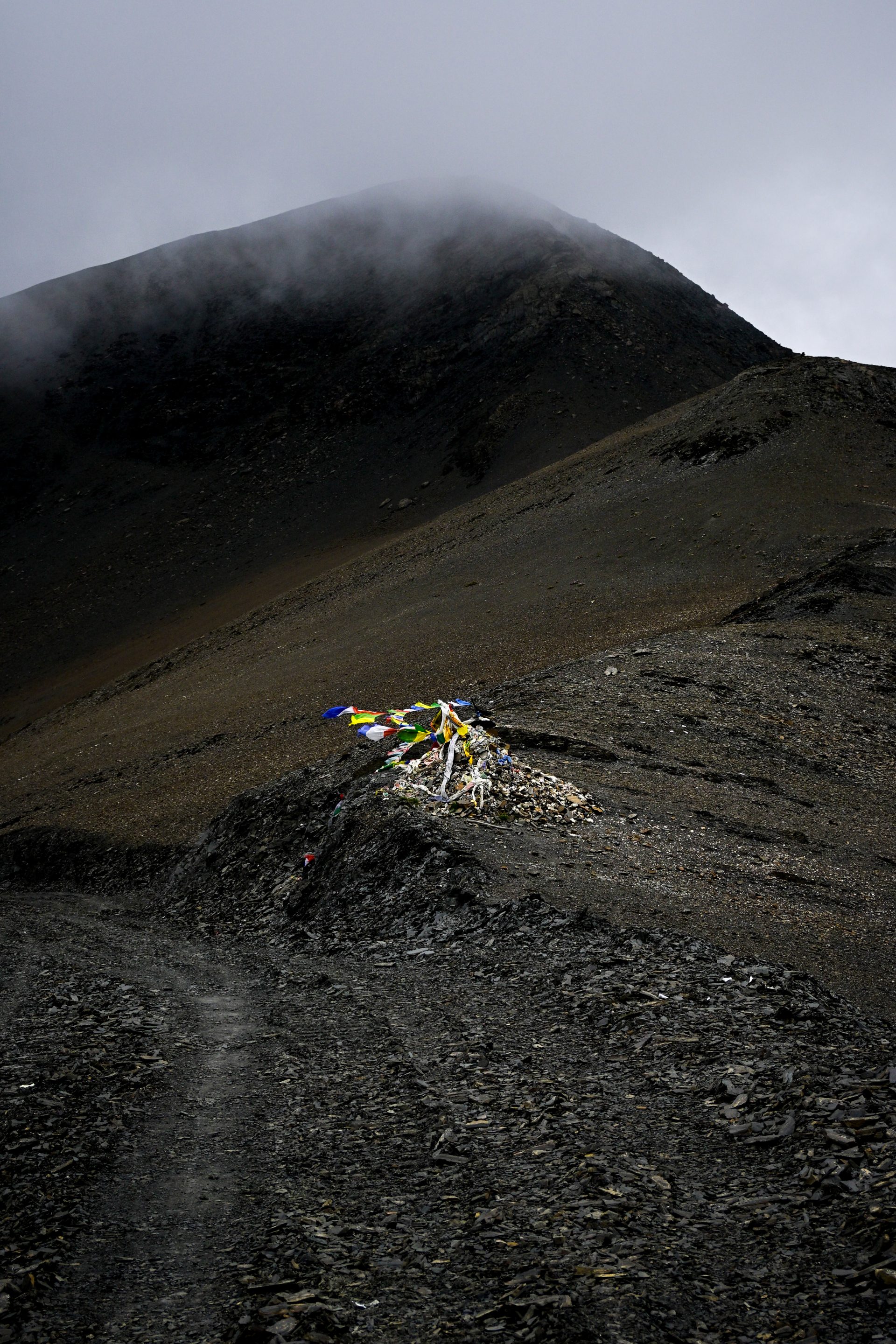
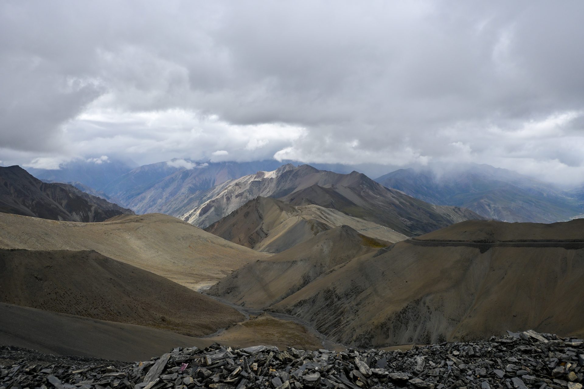
Straightforward — everything can be done on the road [I would recommend that]. We took a shortcut, but it wasn’t really worth it.
🔒 Login
DAY 27 – 15.20 km | 455m | 3h 33m | 3h 39m | Chharka Bhot
_DSC5516
_DSC5513
_DSC5501
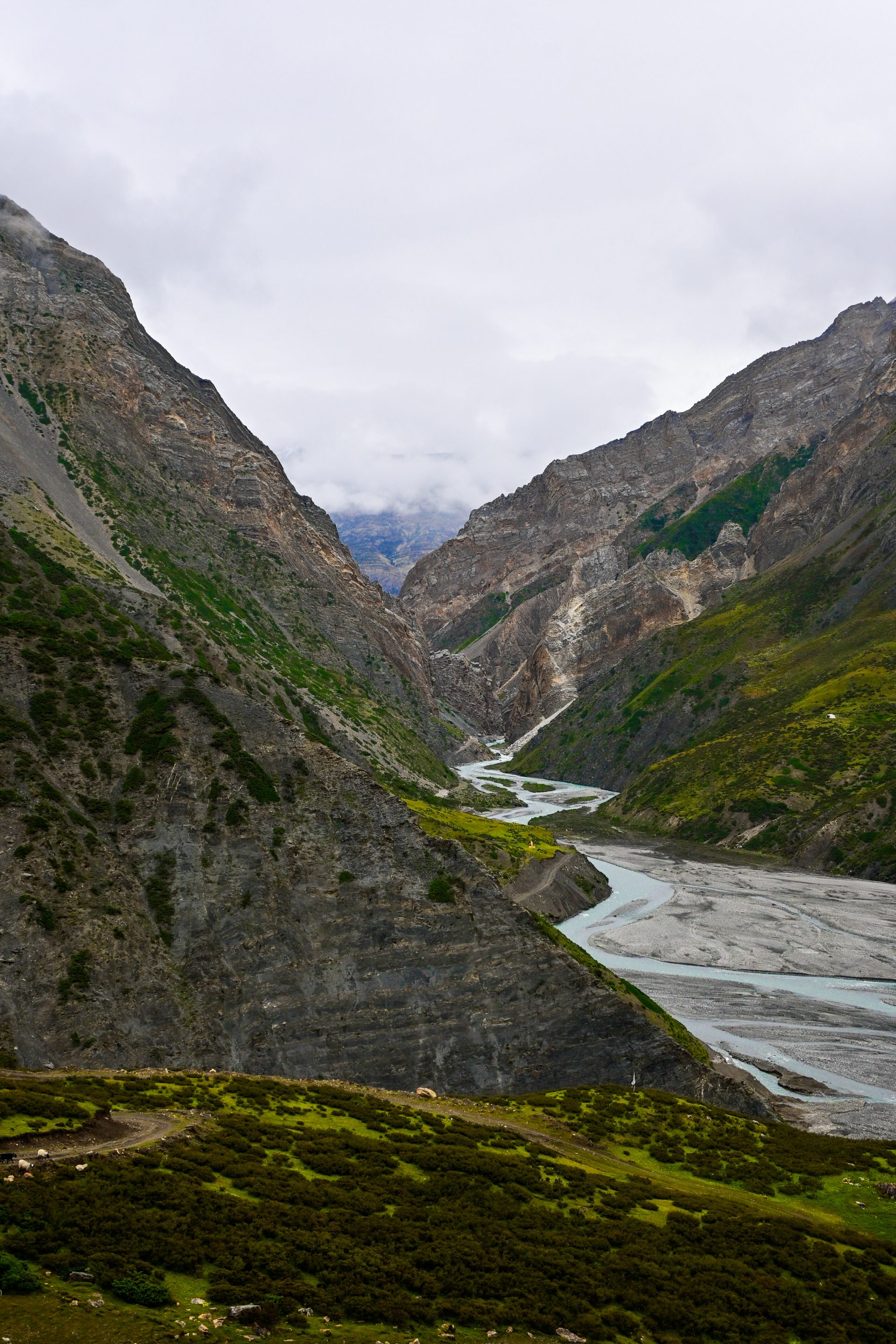
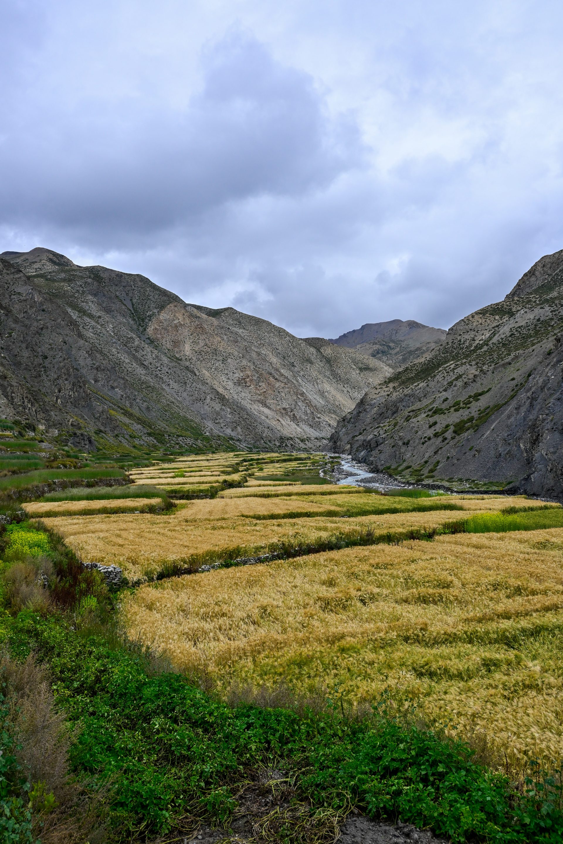
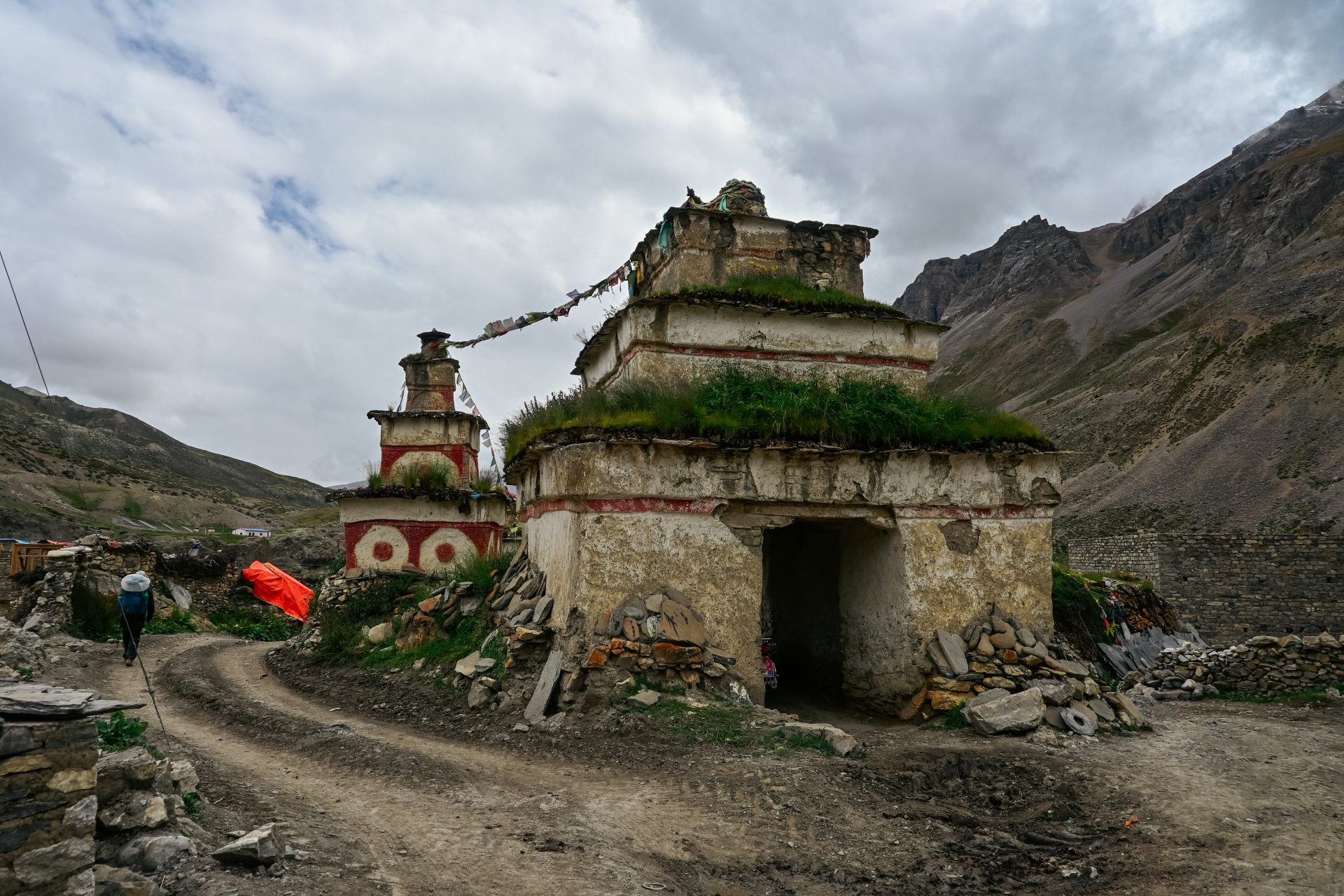
Straightforward — everything is road. We just detoured slightly for the campsite.
🔒 Login
DAY 28 – 31.06 km | 1.245m | 7h 37m | 8h 14m | Bheroi Khola
_DSC5533
20260920_161148
_DSC5519
20260920_180547
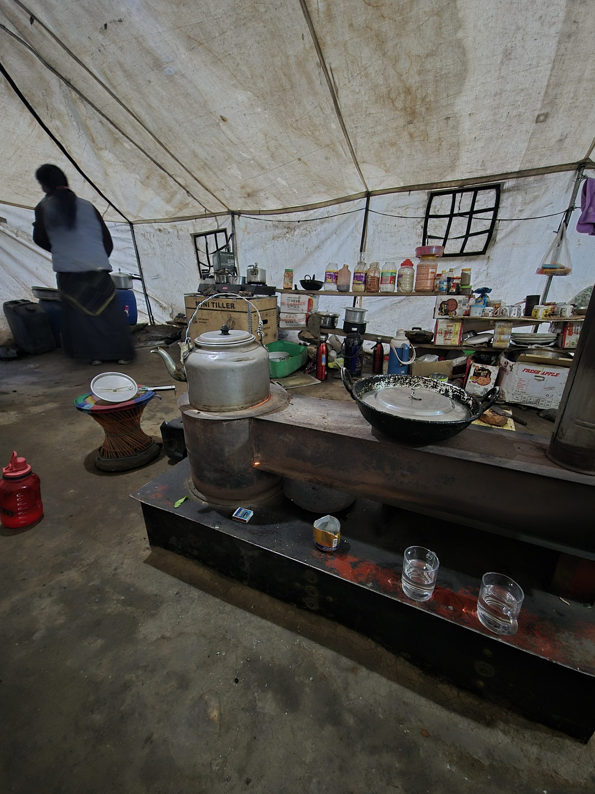
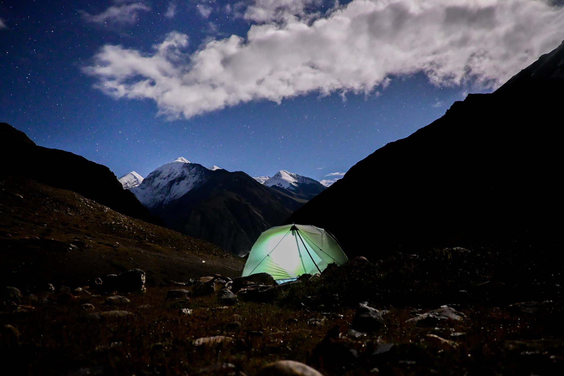
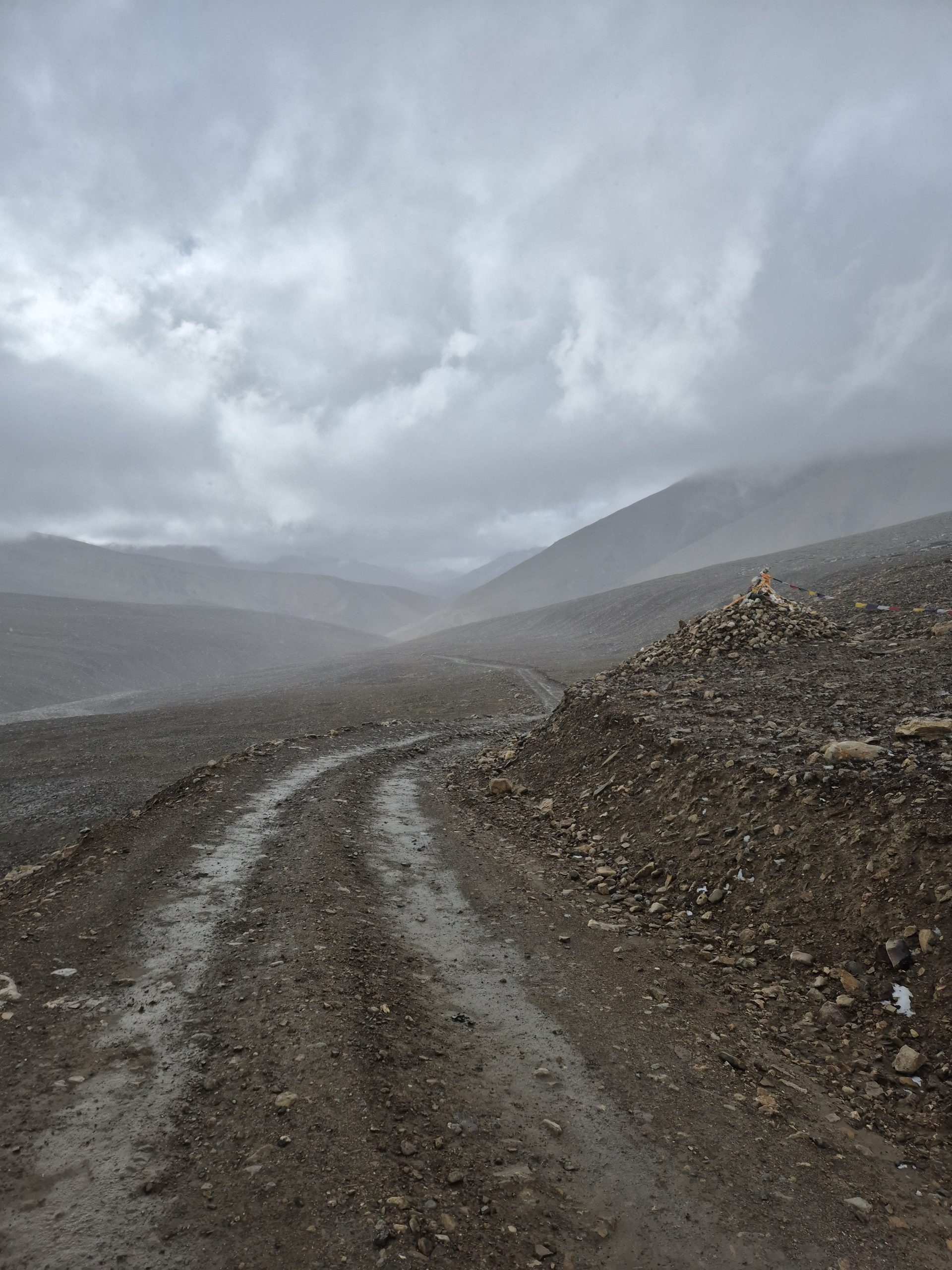
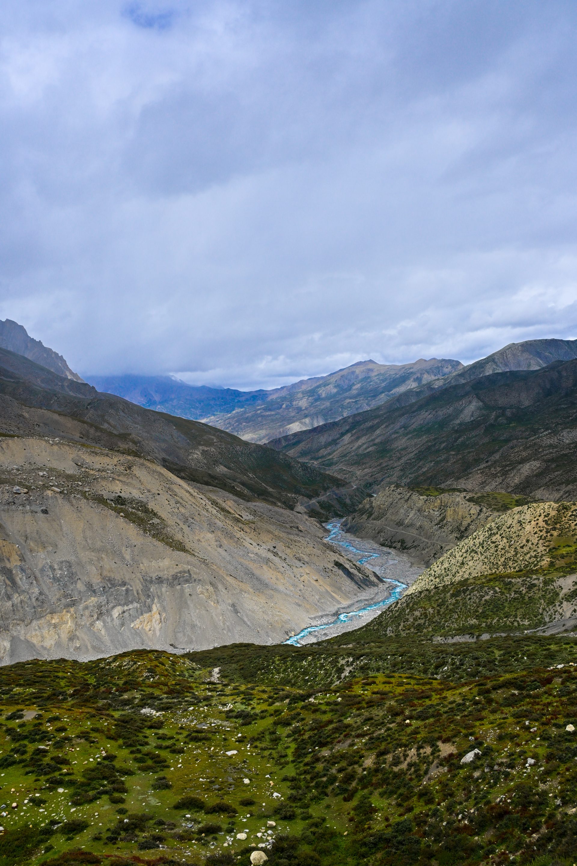
All road and straightforward. We only went on the trail to use a bridge and avoid fording, and then walked a few meters to the campsite.
🔒 Login
DAY 29 – 17.26 km | 326m | 3h 56m | 4h 01m | Sangda
_DSC5556
_DSC5571
_DSC5558
_DSC5583
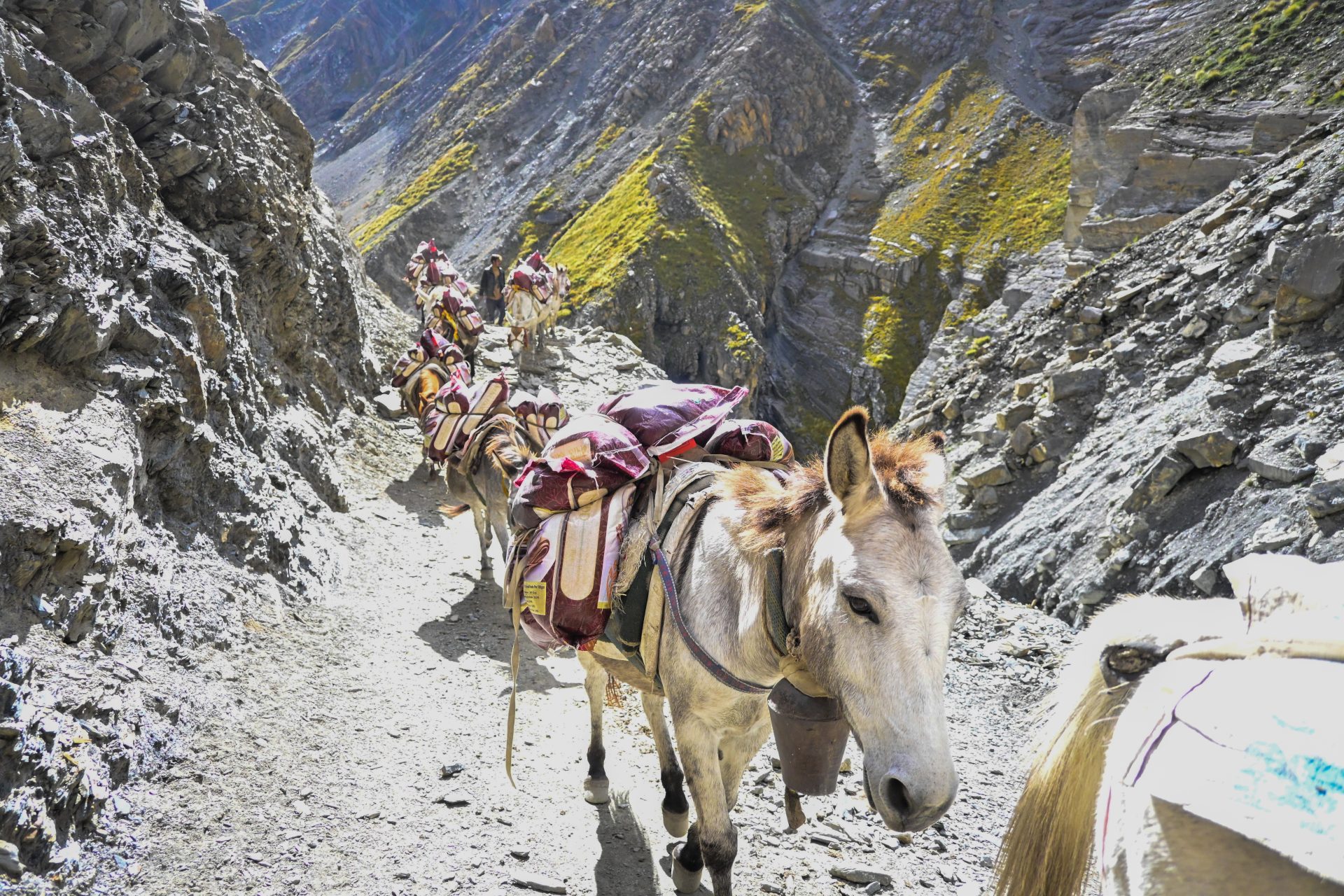
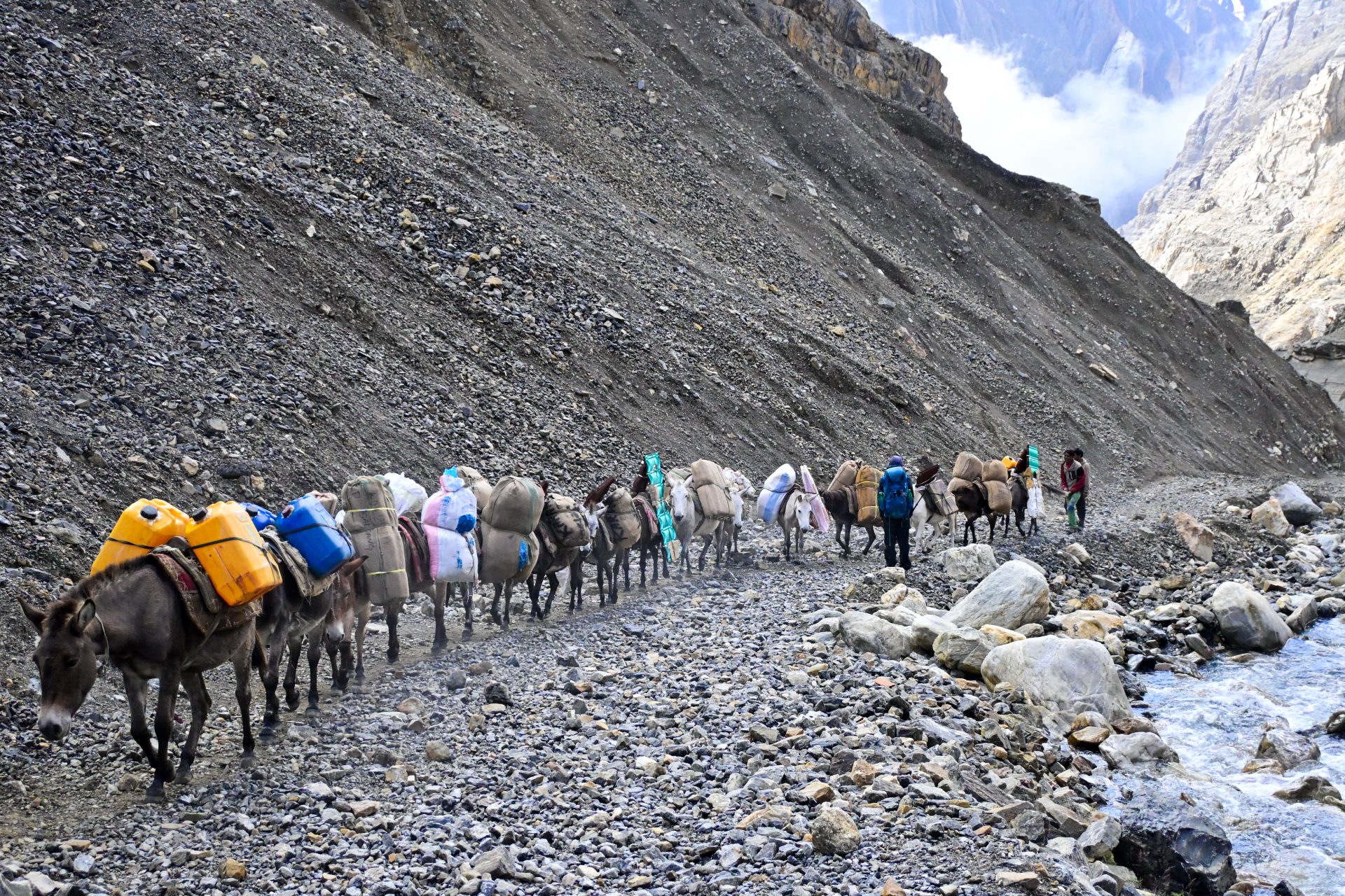
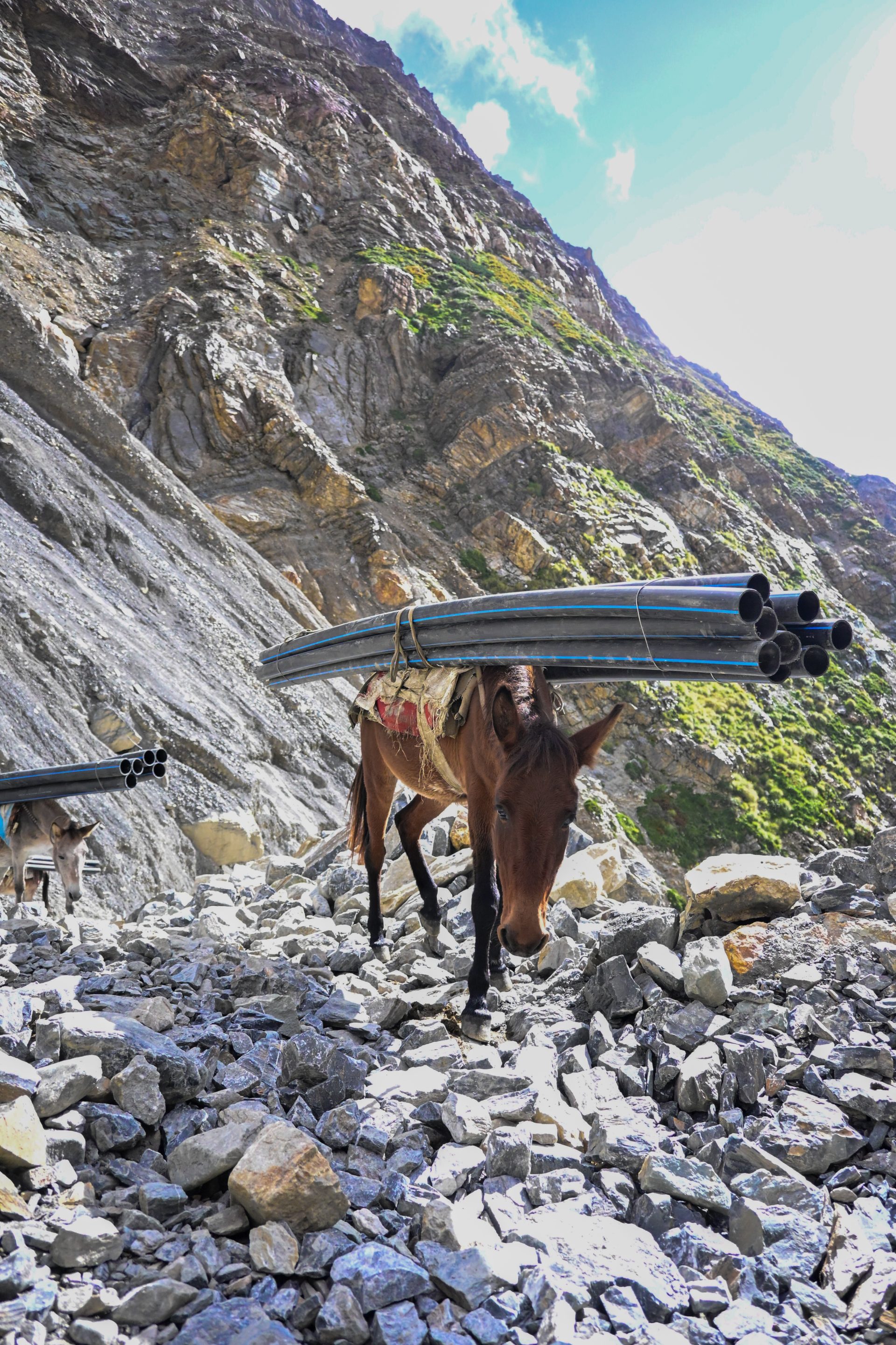
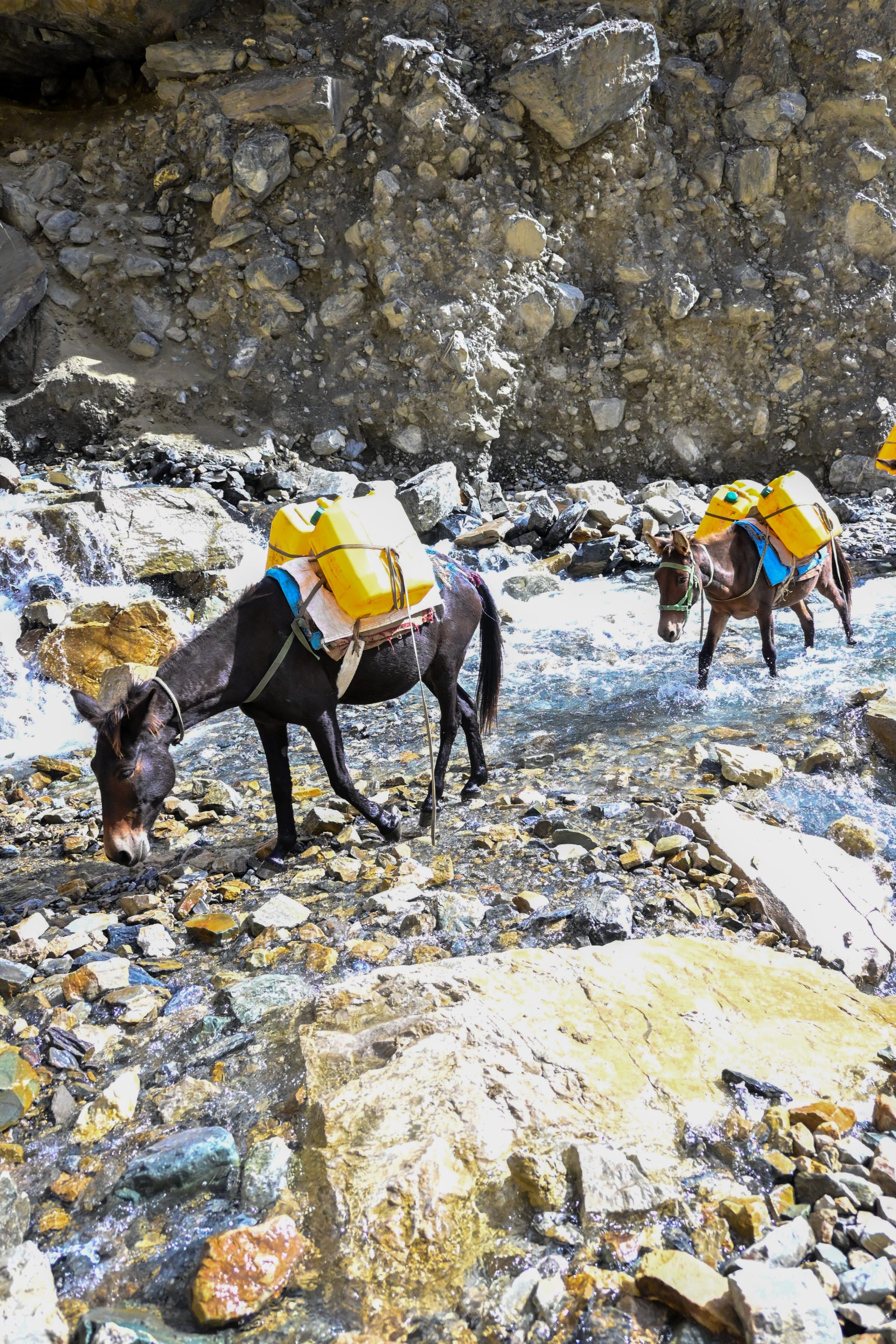
A short part of the road is in an absolutely catastrophic condition, which is why it’s marked as a hiking trail. There are also only mules. Aside from this section, it’s all great road.
🔒 Login
DAY 30 – 27.98 km | 852m | 6h 22m | 6h 33m | Kāgbeni
_DSC5616

_DSC5615
_DSC5608
_DSC5603
_DSC5604
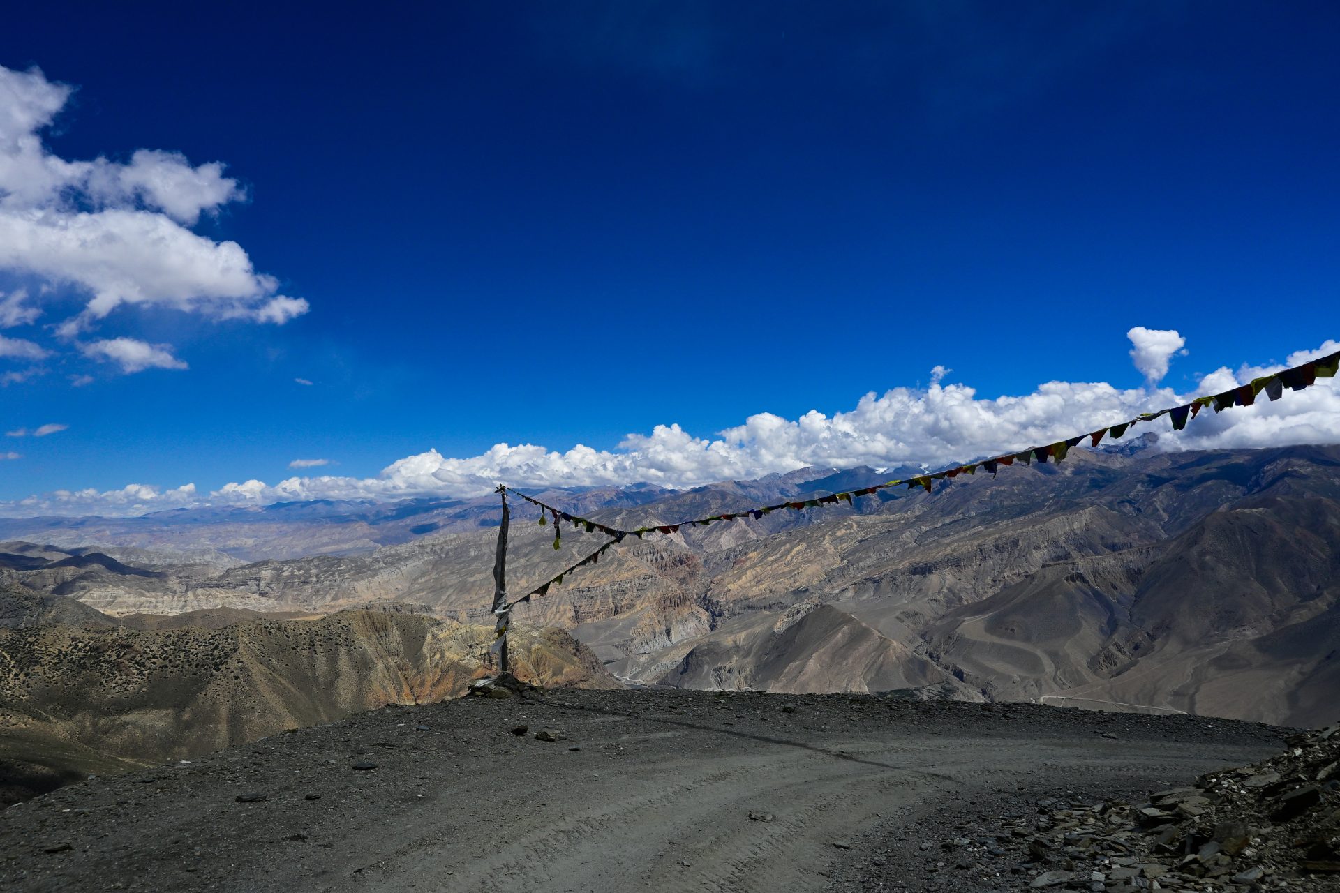
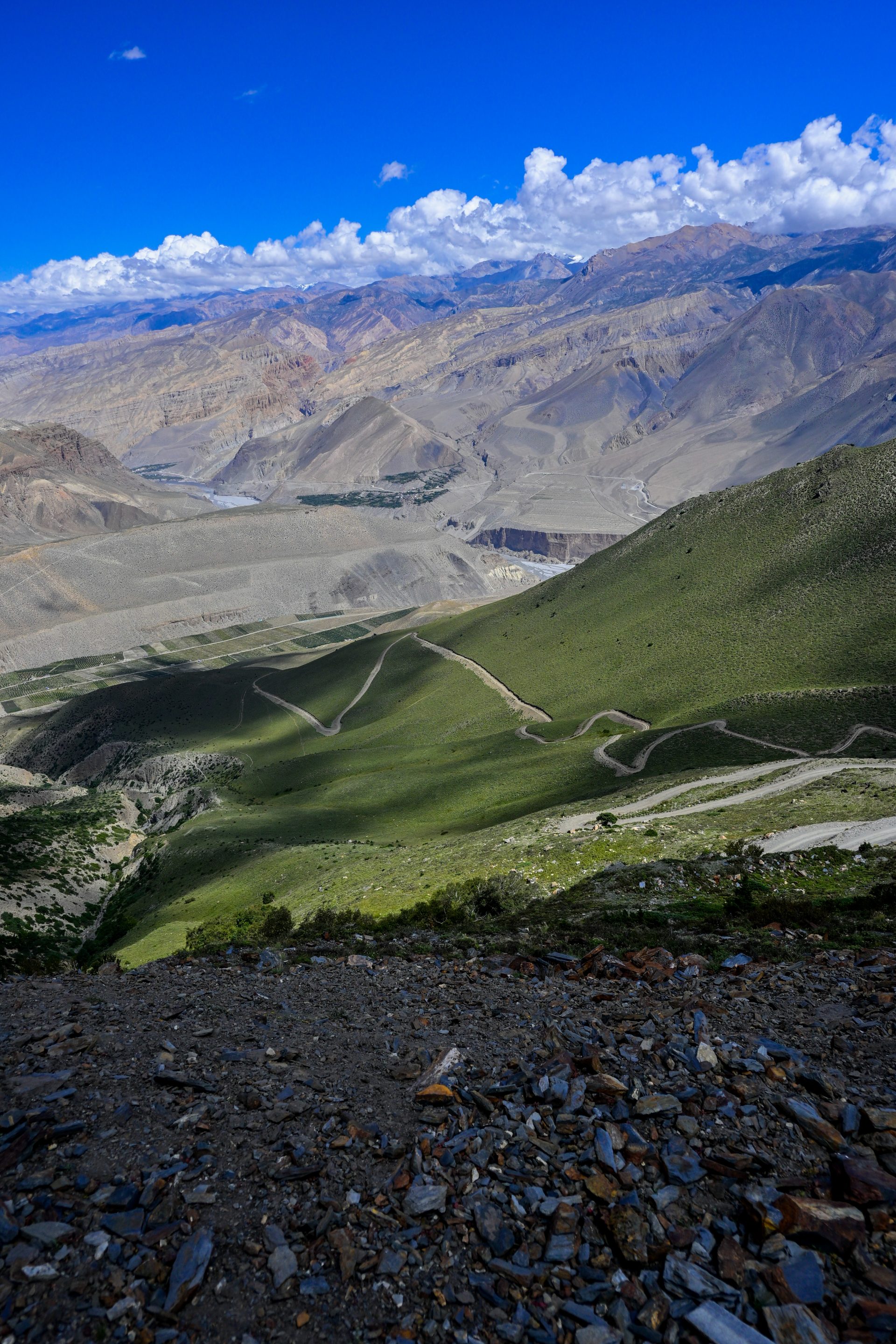
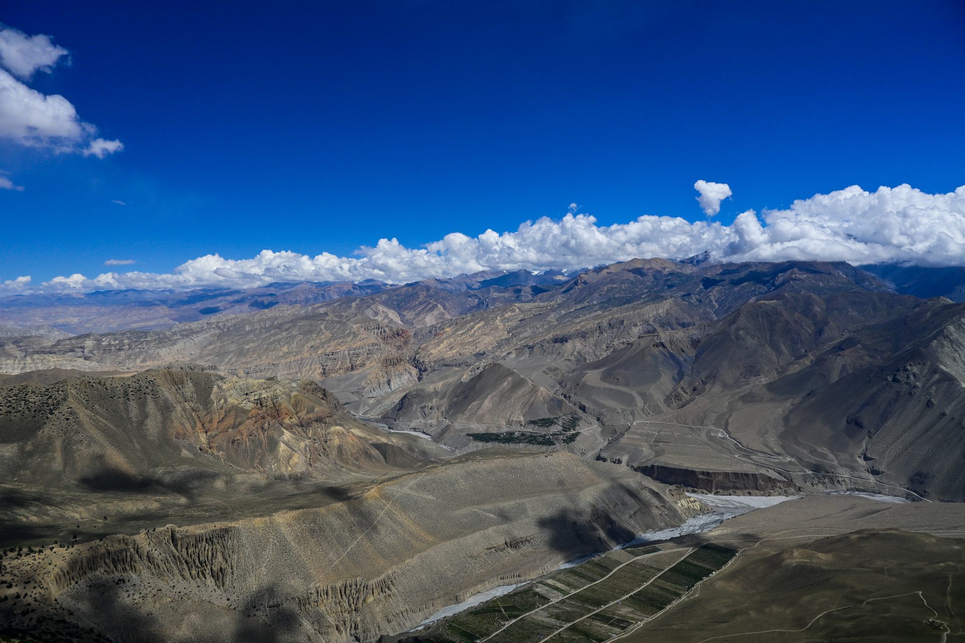
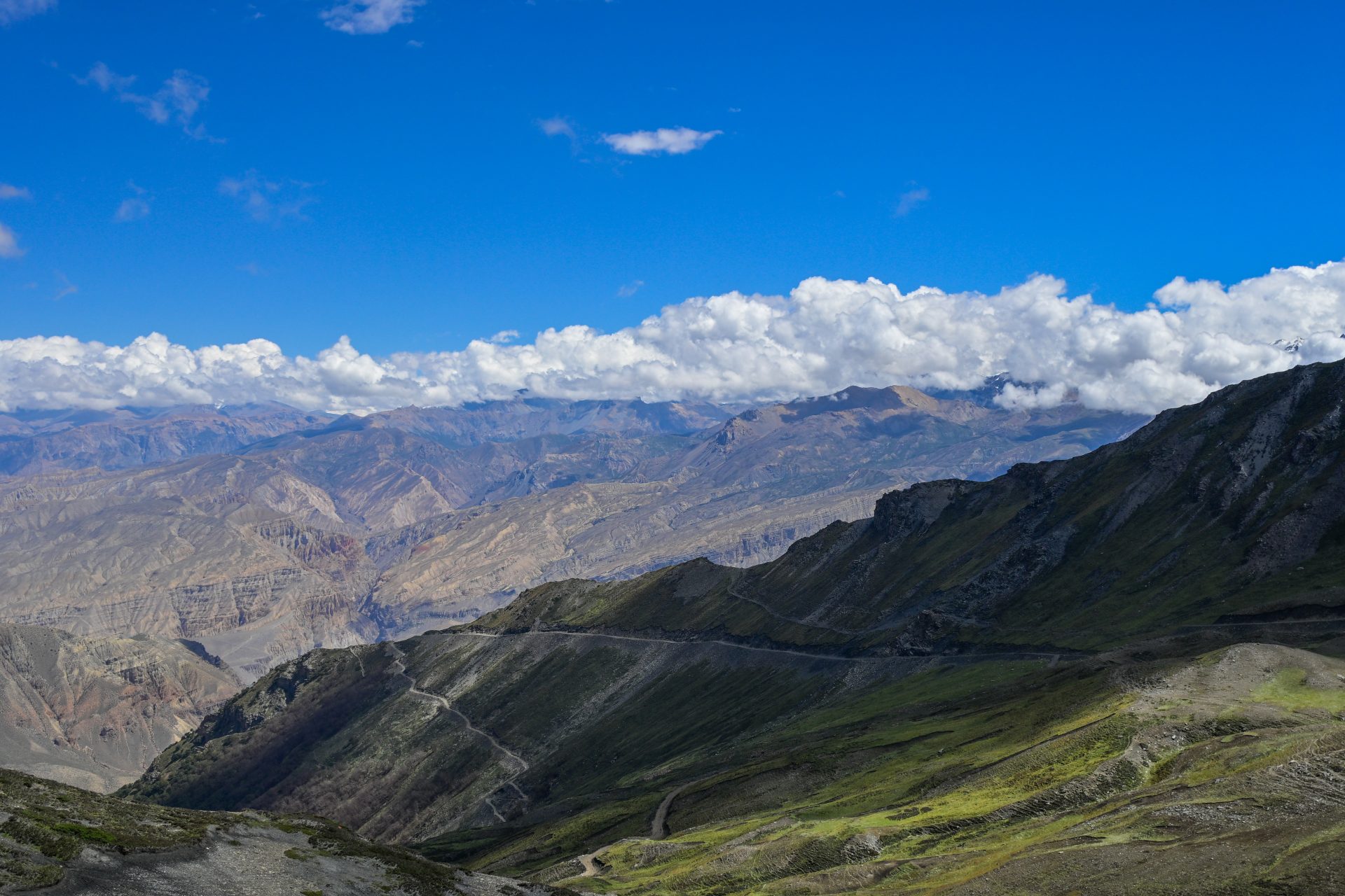
All road walking. Straightforward.
🔒 Login
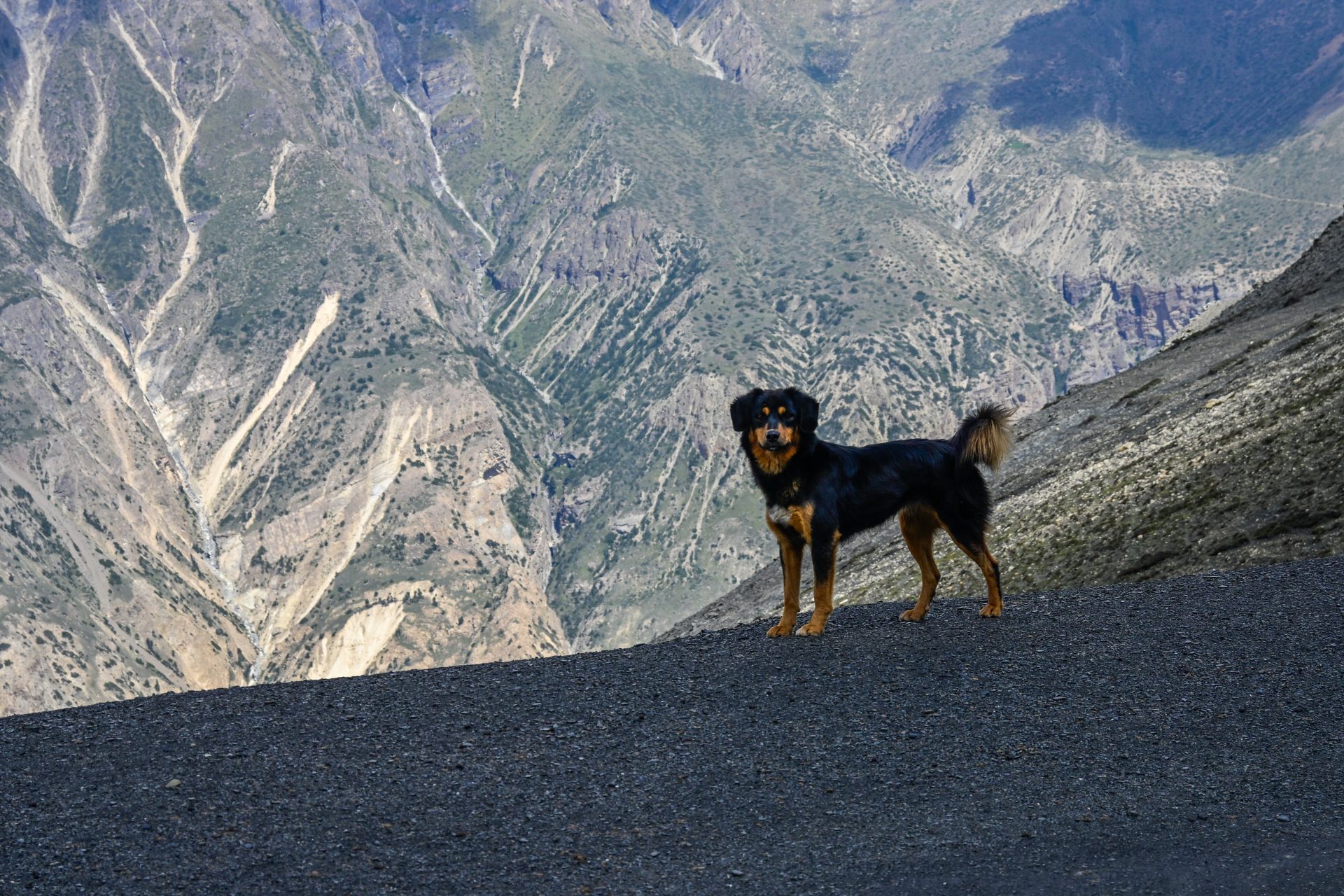
DAY 32 – 12.76 km | 878m | 2h 59m | 4h 21m | Muktinath
Screenshot_20260924_143620_Chrome
20260924_130909
20260924_104702
20260924_085233
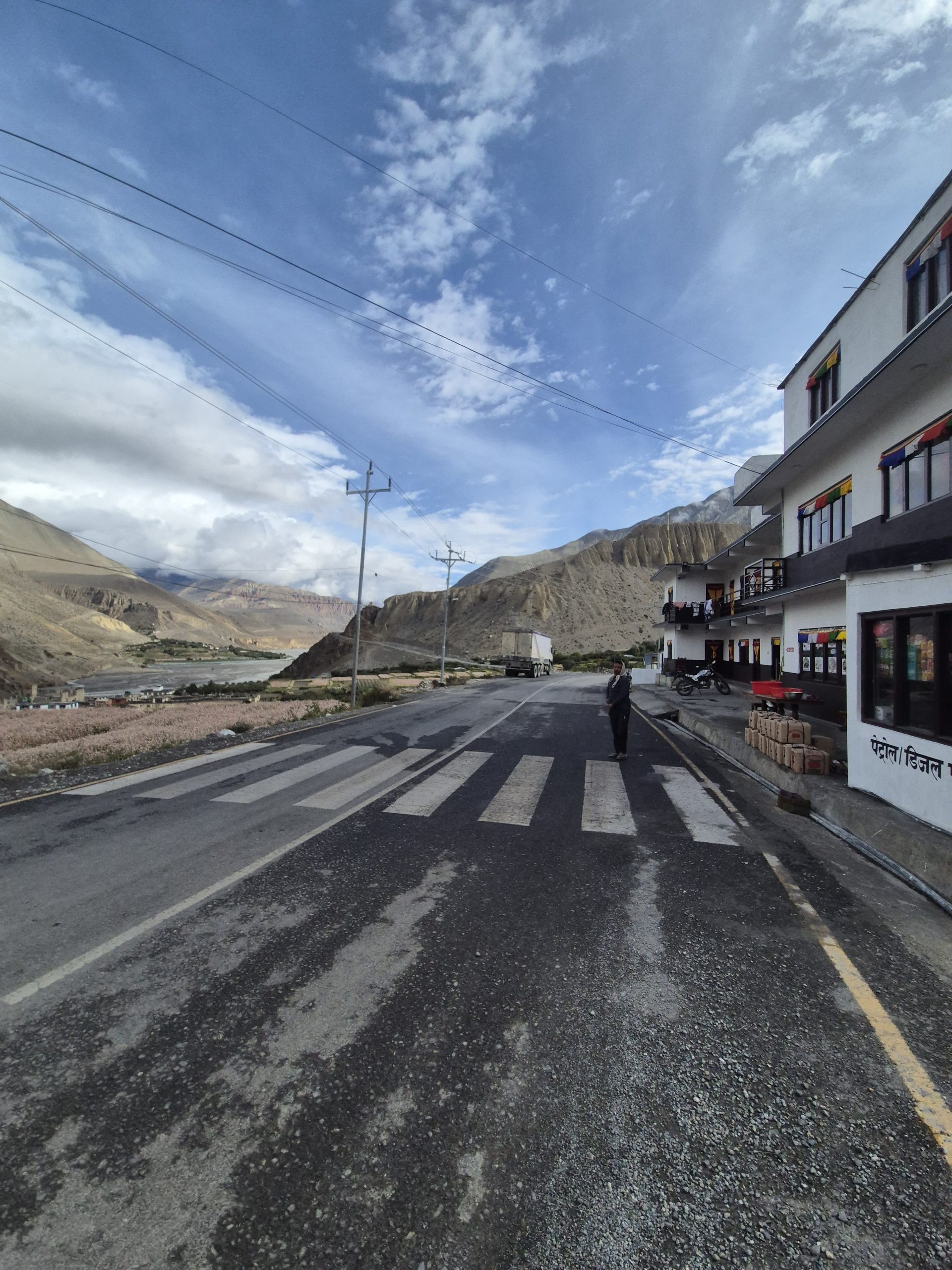
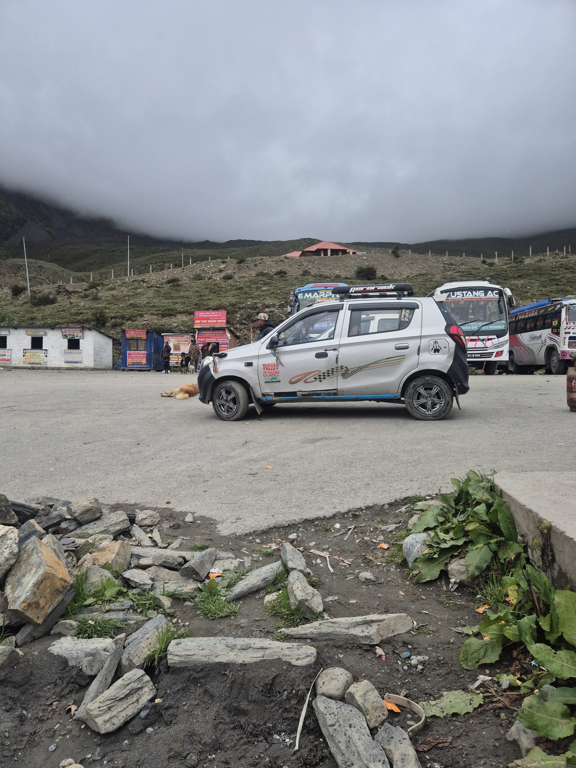
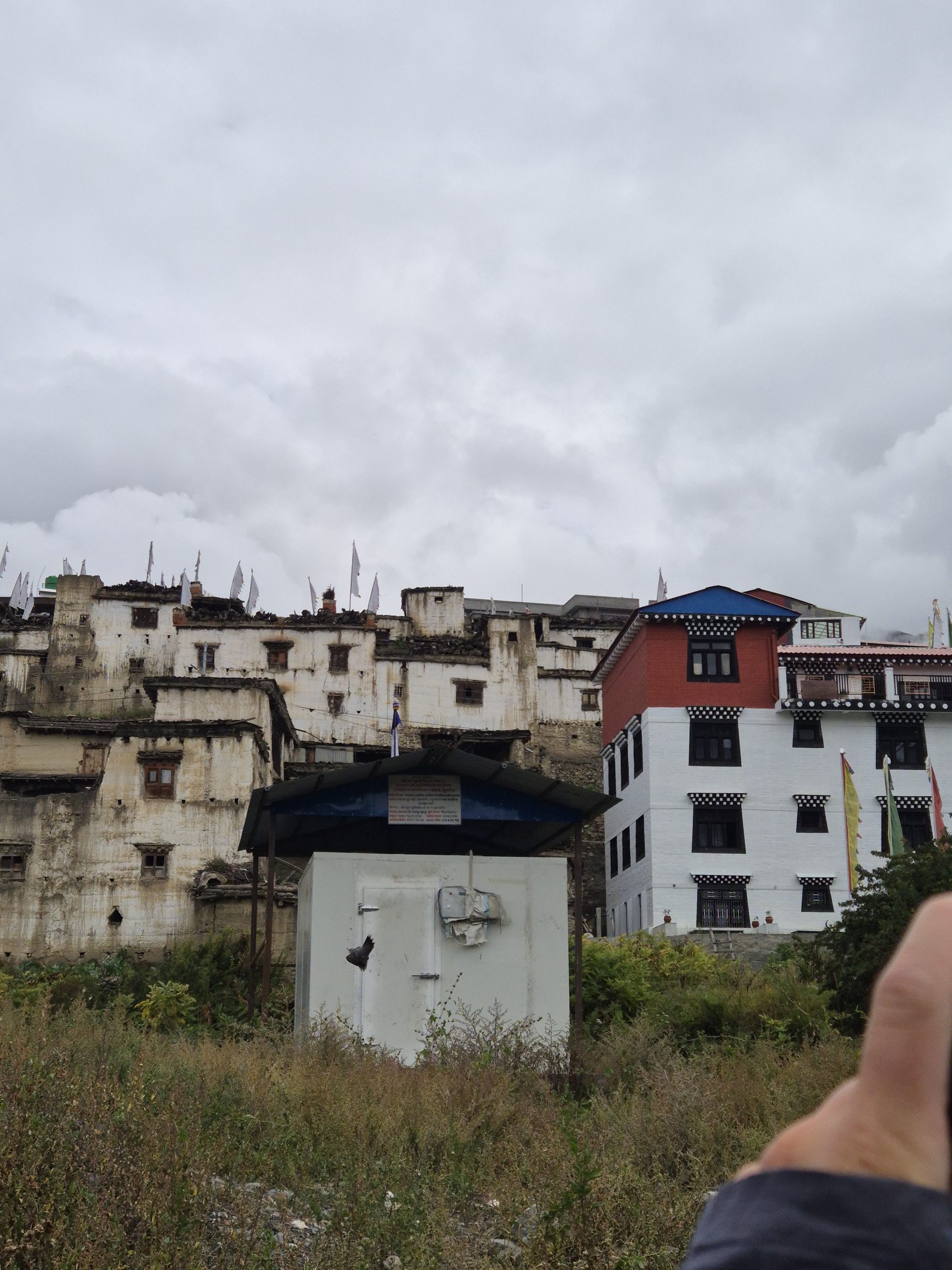
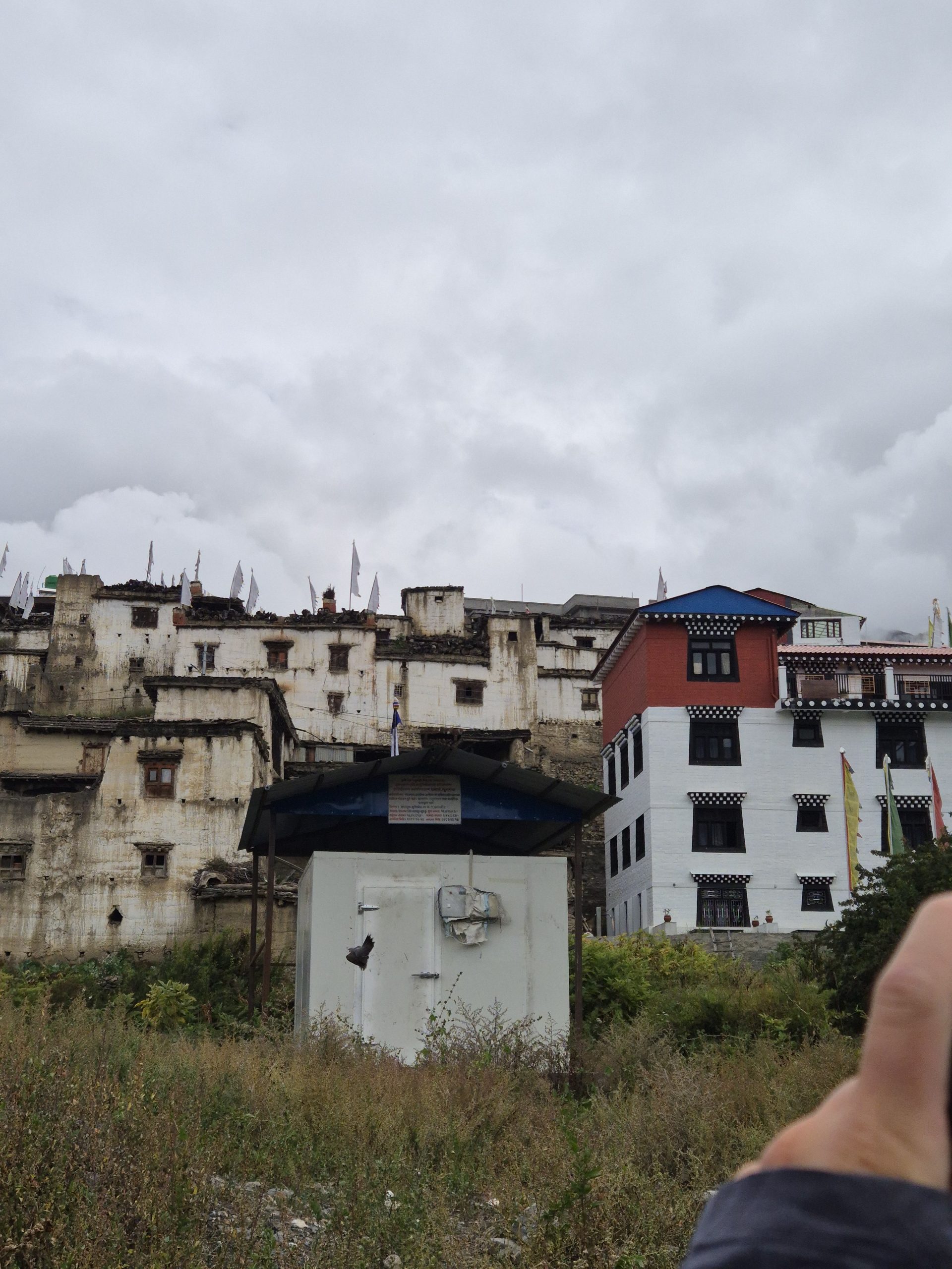
All street straight forward. Took a trail as a shortcut. Slackpacking.
🔒 Login
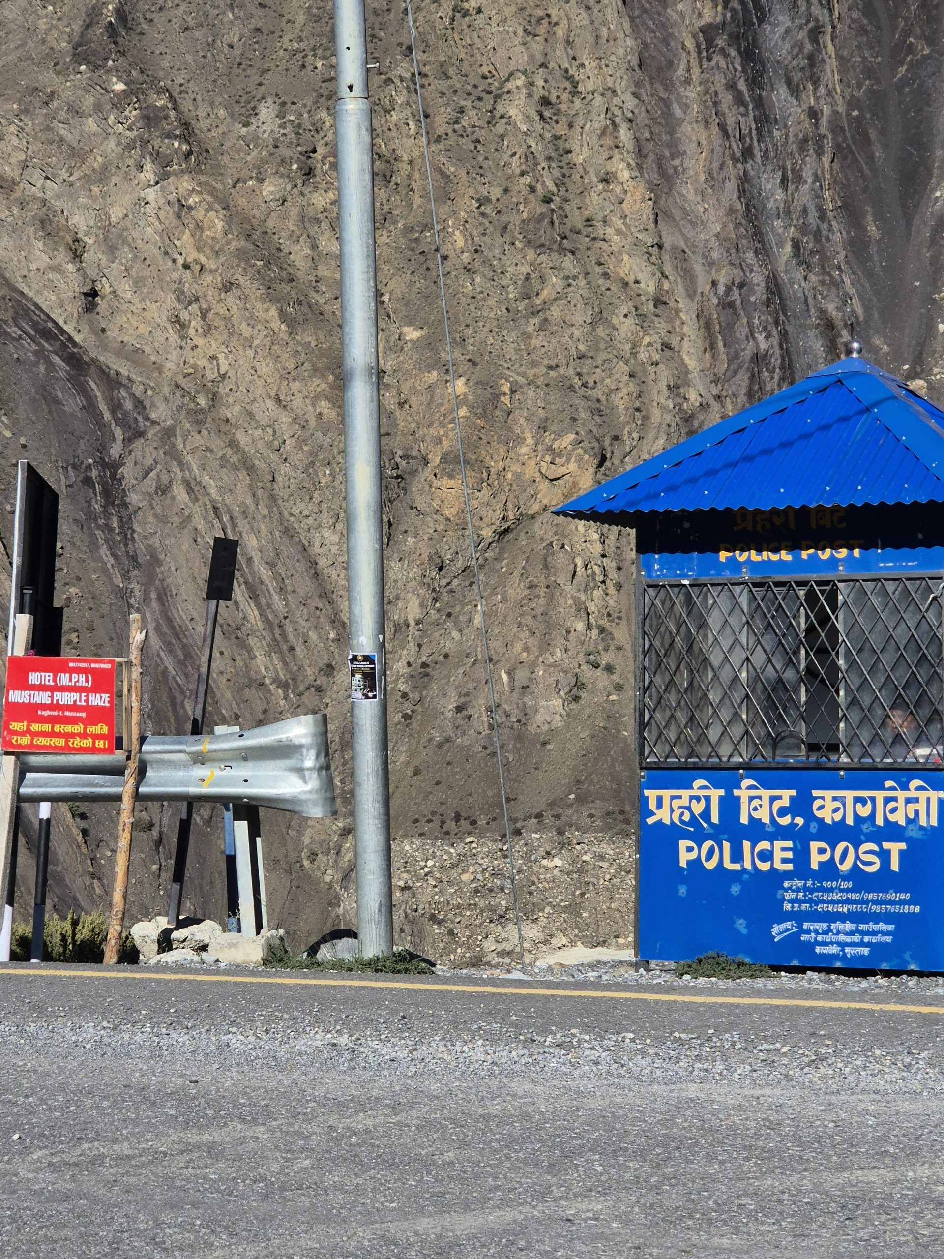
DAY 36 – 8.21 km | 1.071m | 3h 11m | 5h 01m | Muktinath
_DSC5642
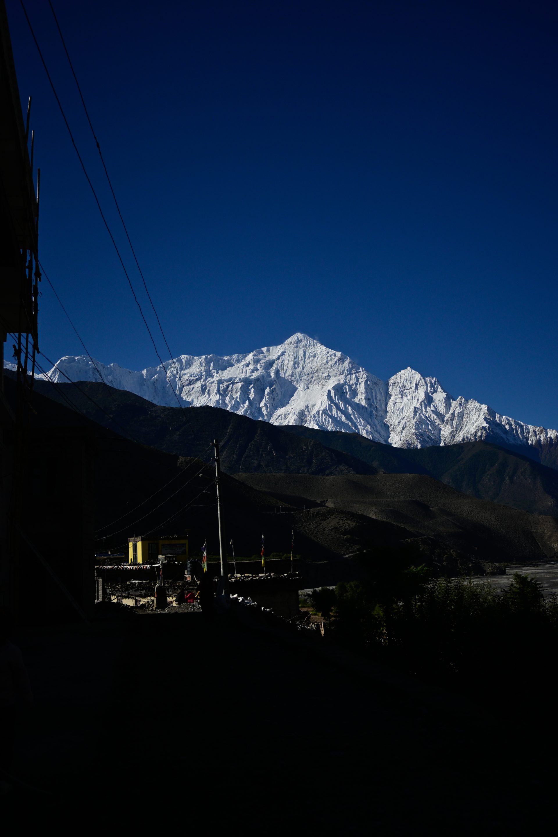
20260928_154145
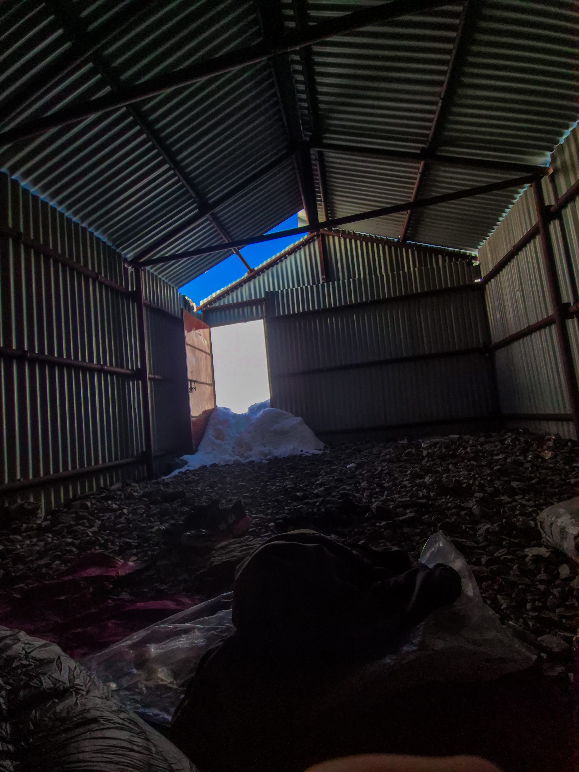
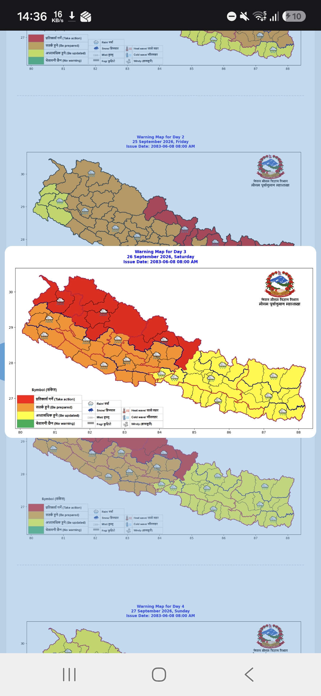
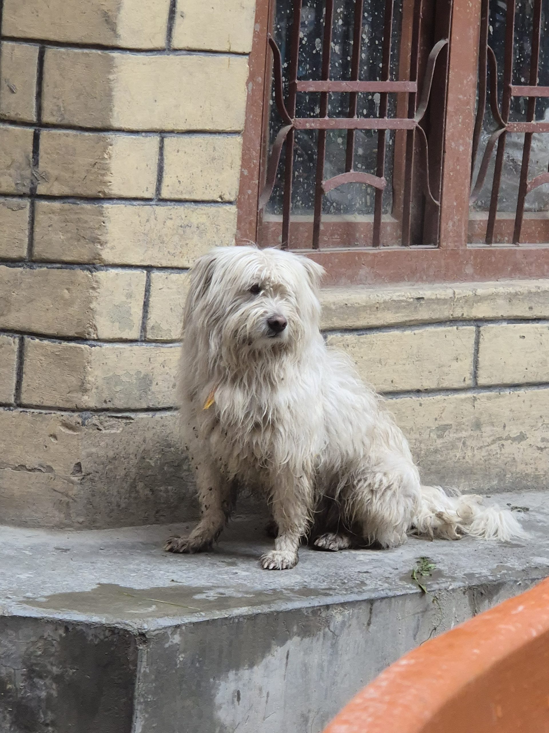
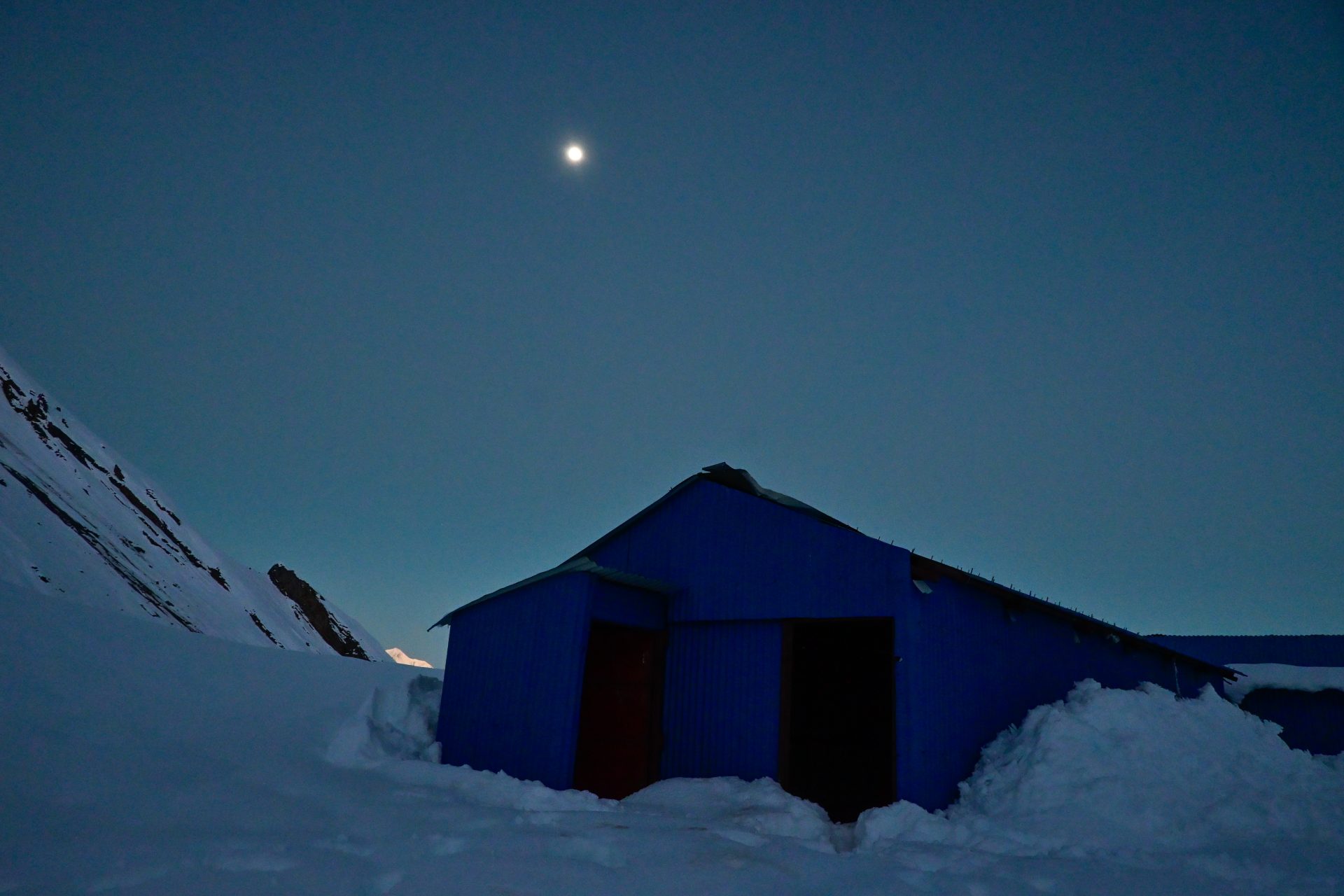
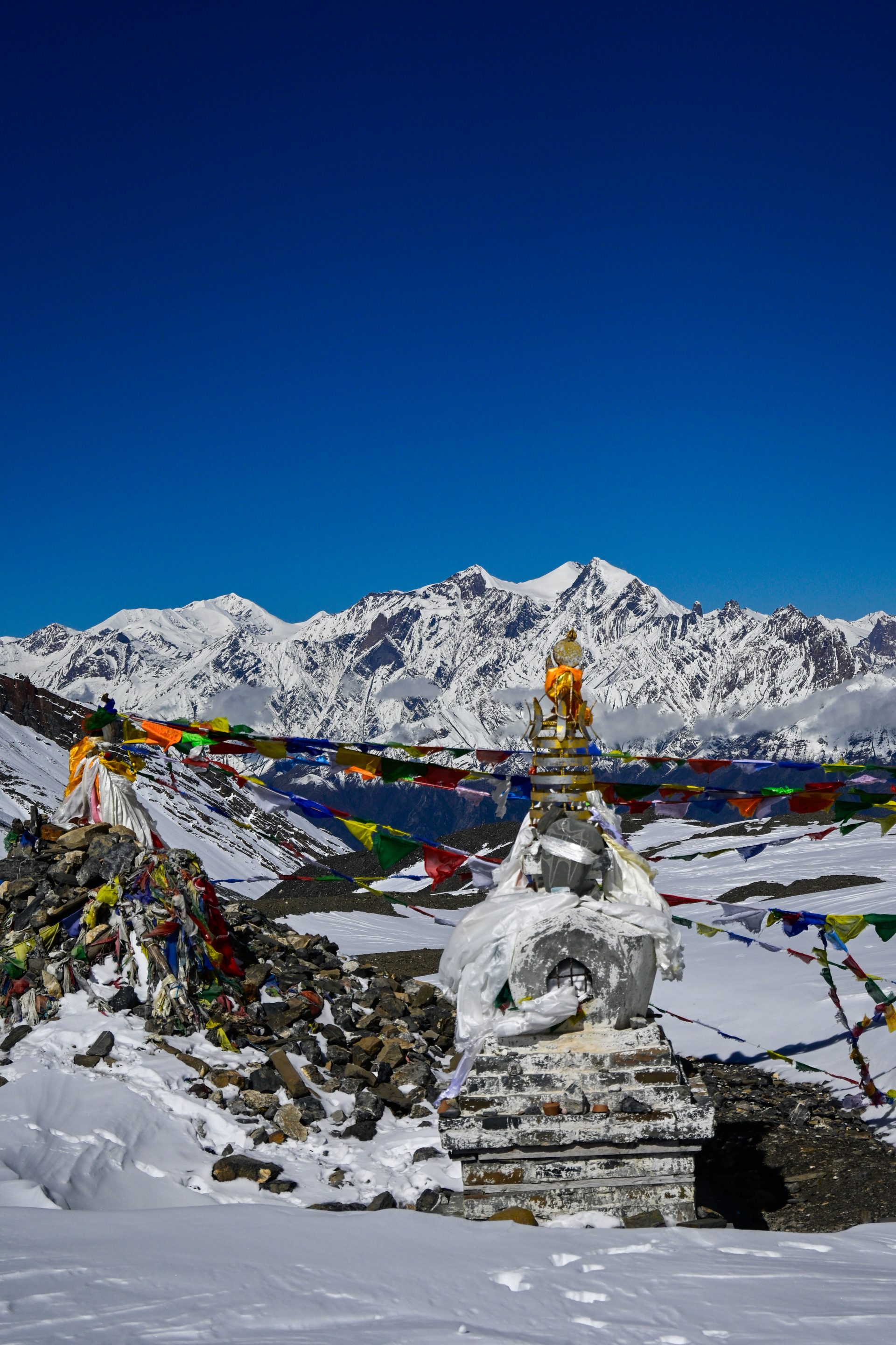
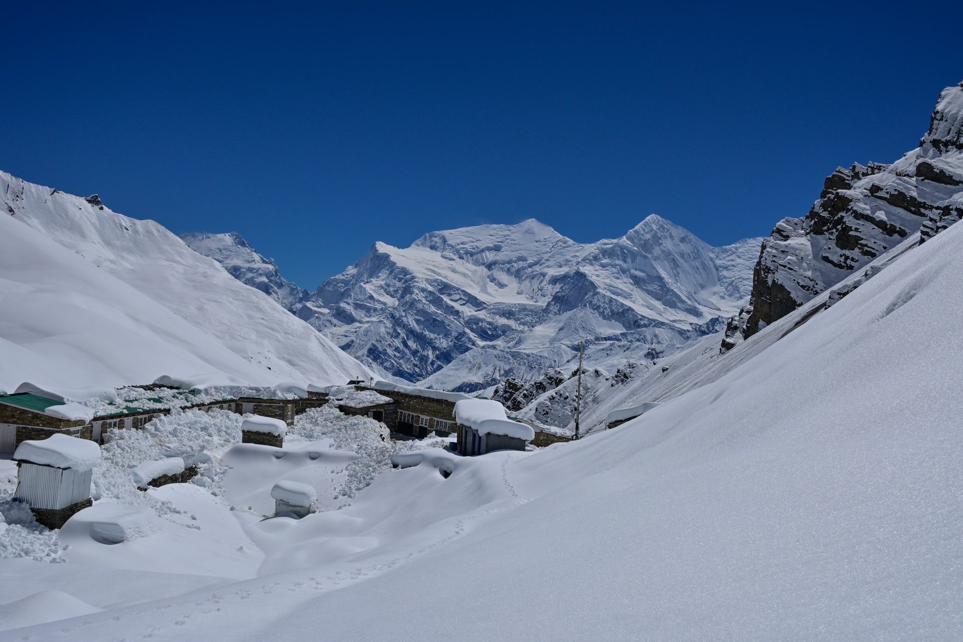
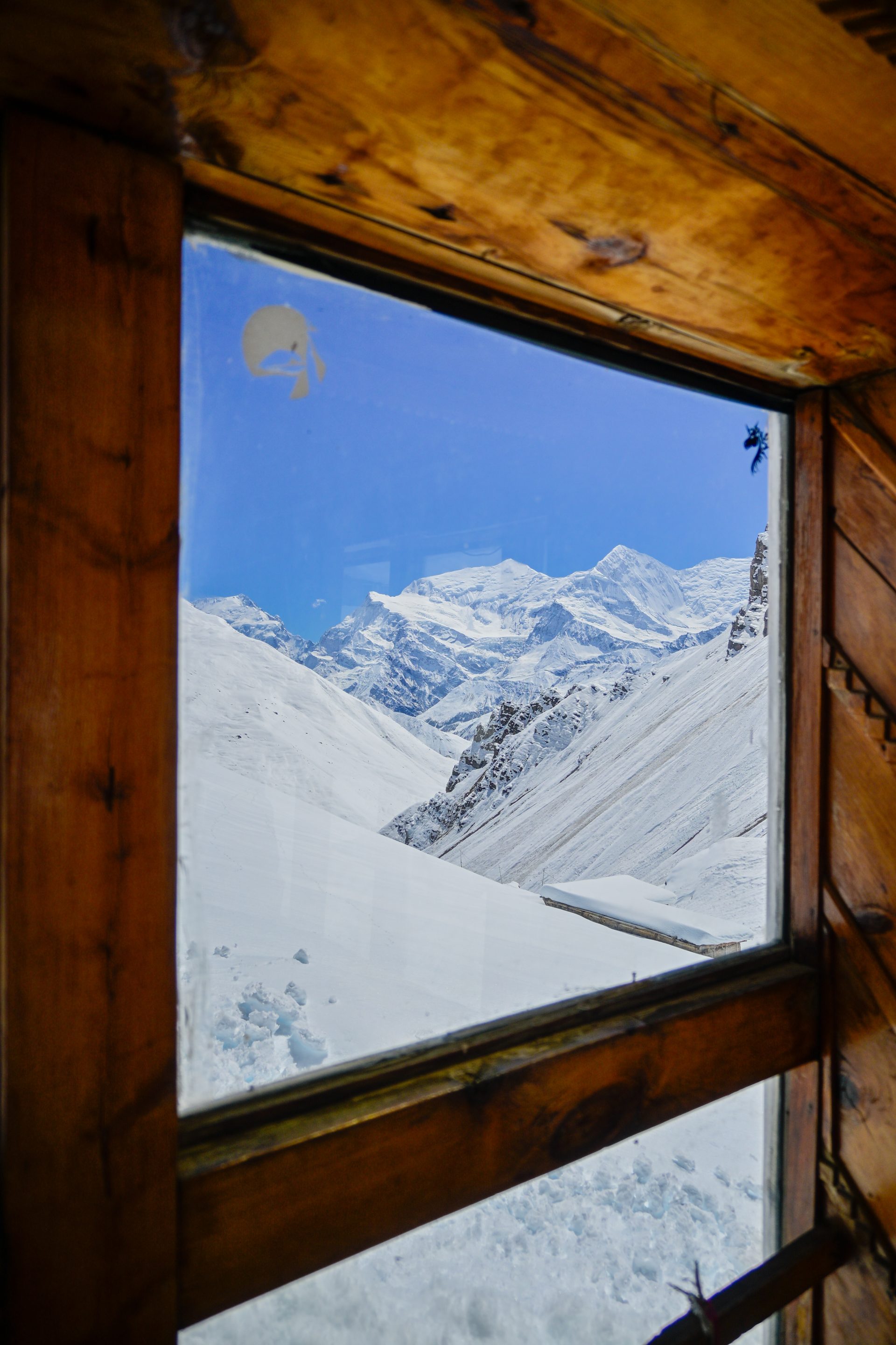
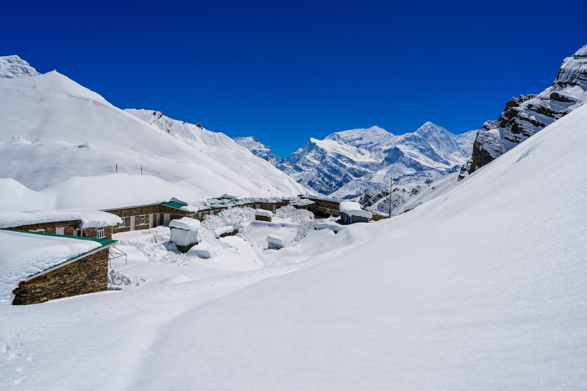
All trail – straightforward. We had heaps of snow – we needed to wait until the night so we don’t sink in. We had a cyclone bringing snow. Therefore our GPS does not follow the trail 100% and we are way, way slower than normal.
🔒 Login
DAY 37 – 9.86 km | 814m | 5h 01m | 7h 03m | High Camp
_A742789
_DSC5668
_DSC5707
_DSC5747
_DSC5776
_DSC5773
_A742797
_DSC5768
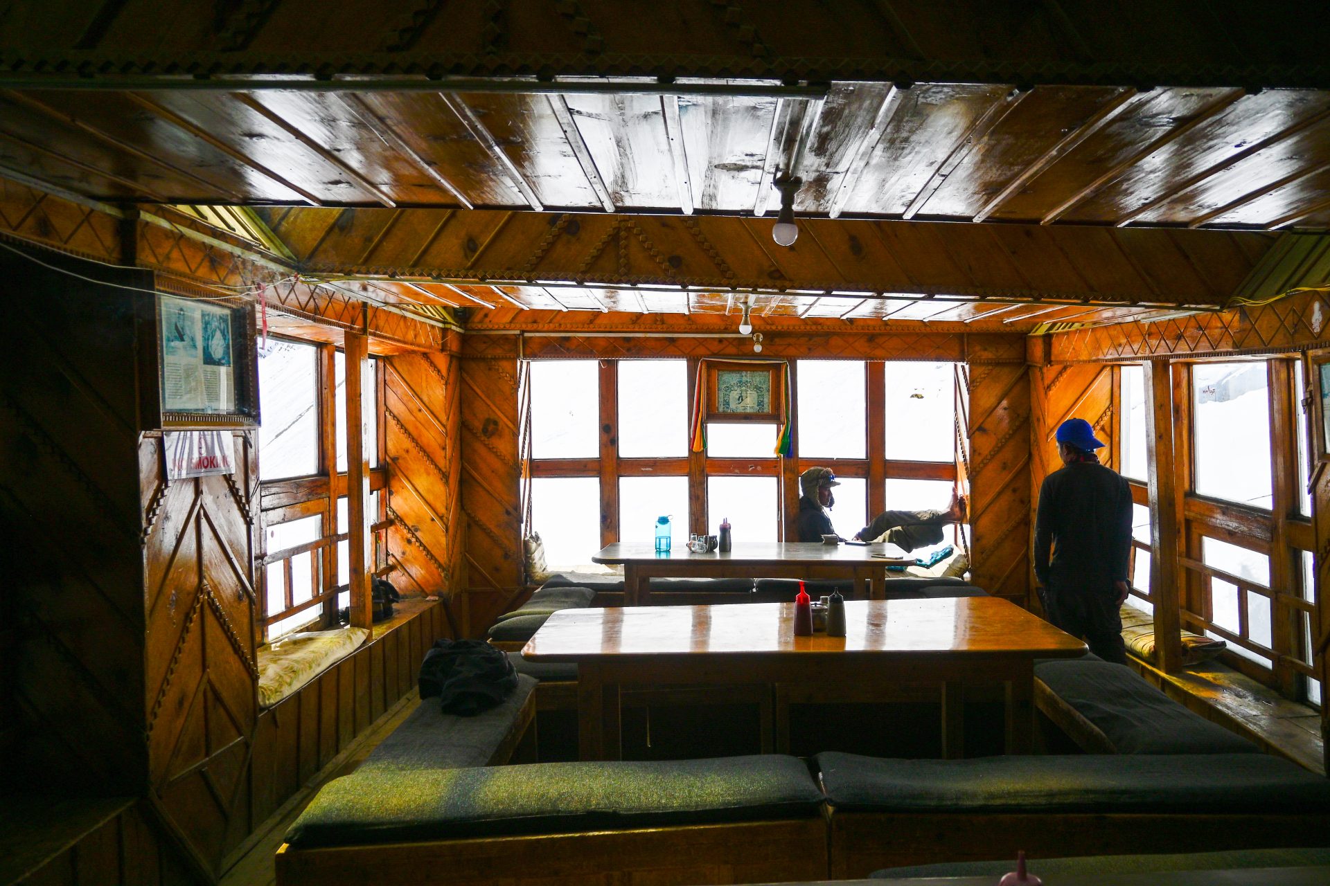
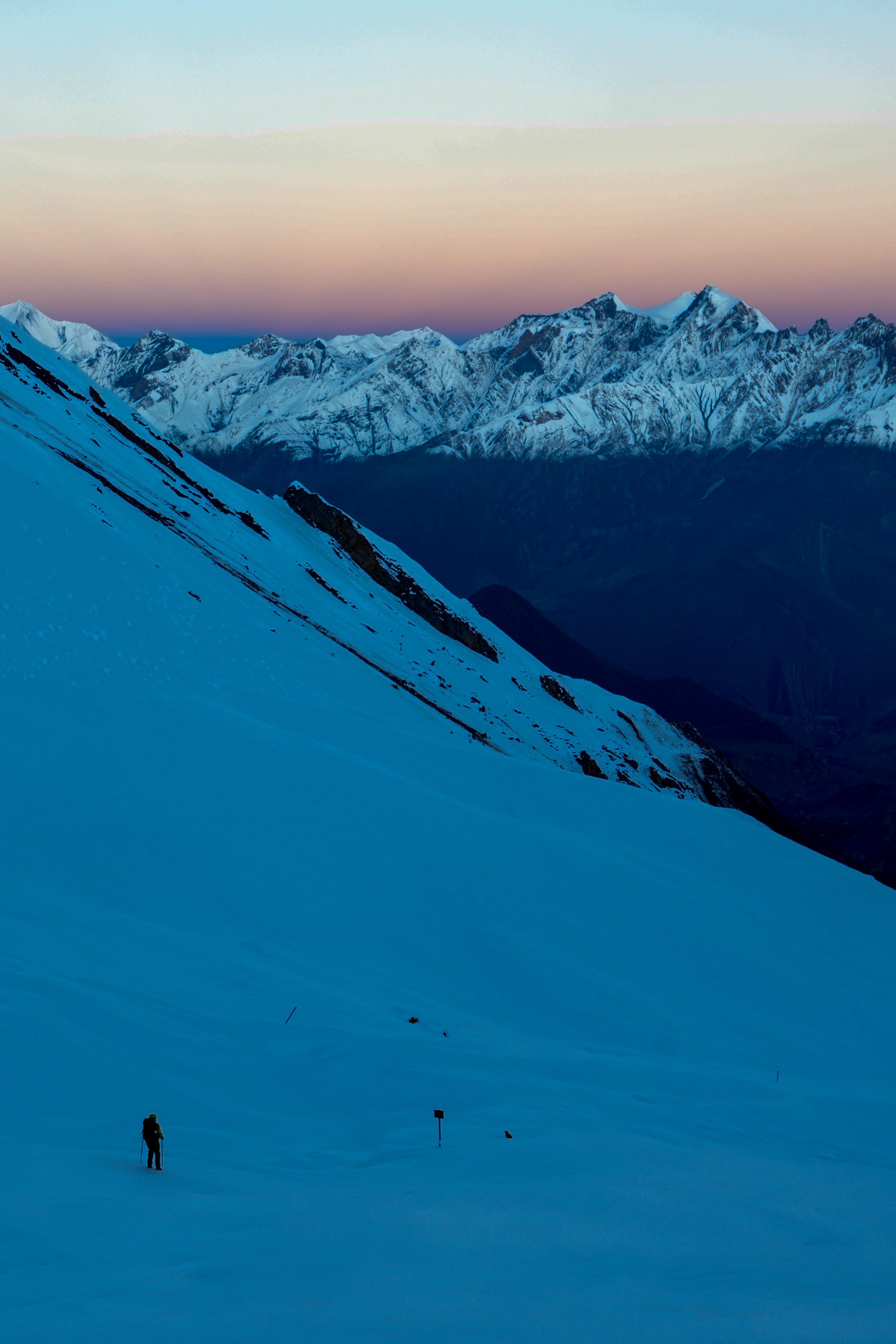
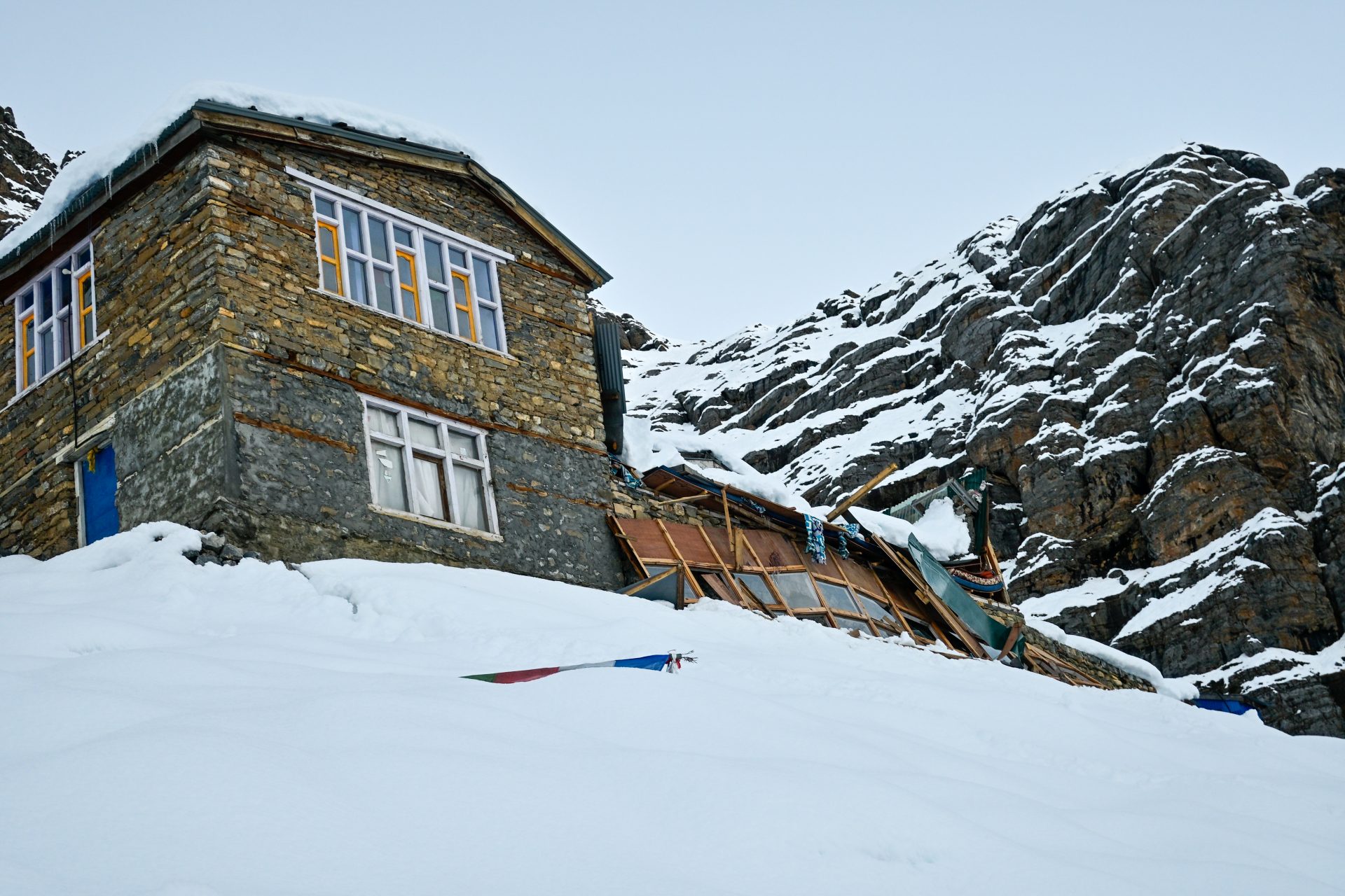
All trail – straightforward. We had heaps of snow – we needed to wait until the night so we don’t sink in. We had a cyclone bringing snow. Therefore our GPS does not follow the trail 100% and we are way, way slower than normal.
🔒 Login
DAY 38 – 34.25 km | 400m | 7h 22m | 10h 23m | Lower pisang
_DSC5802
_DSC5801
_DSC5807
_DSC5814
_A742810
_DSC5841
_DSC5851
_DSC5856
20260930_142723
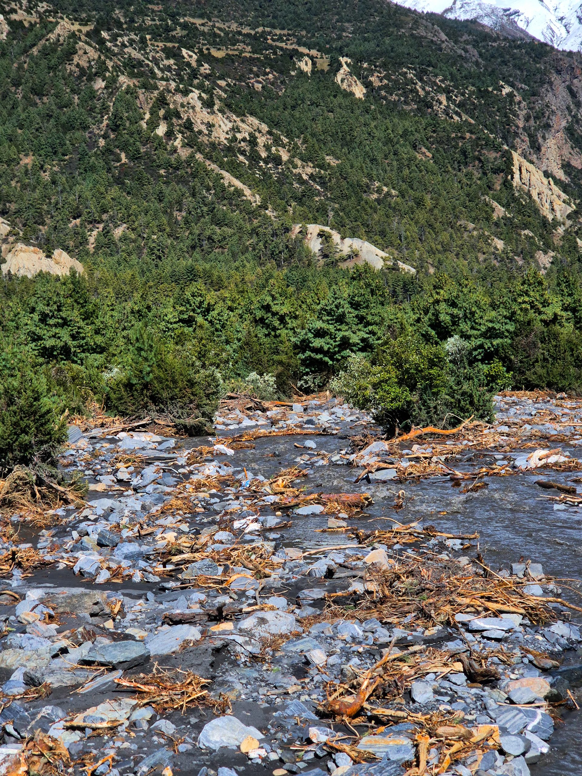
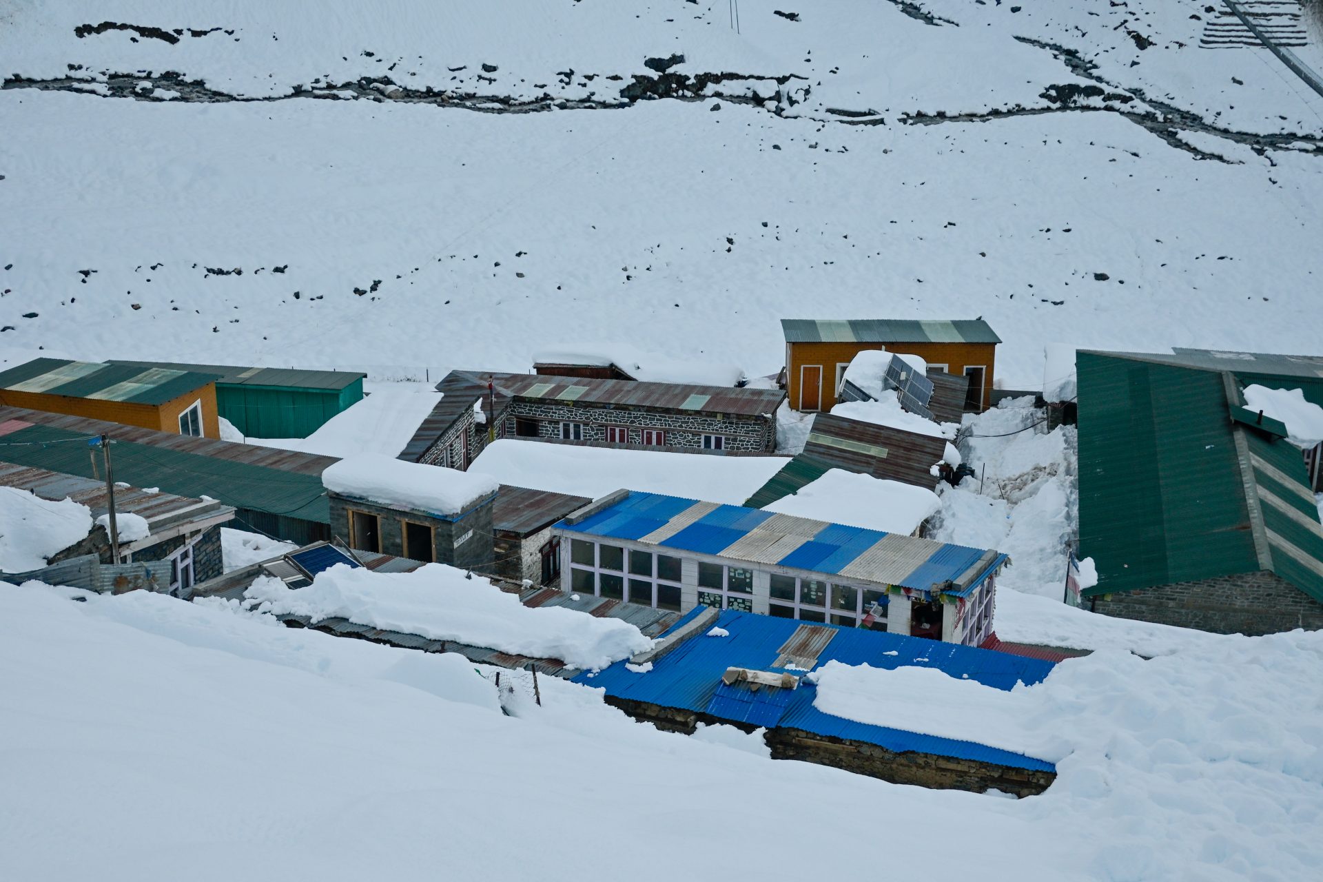
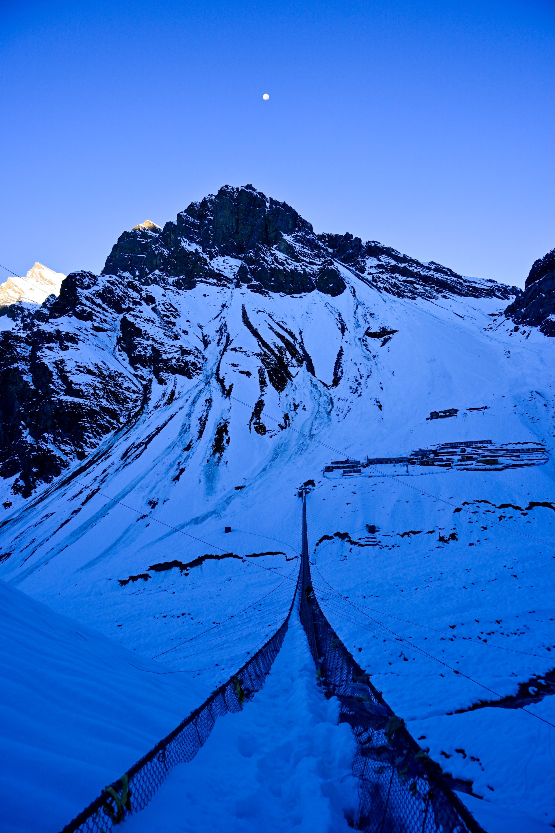
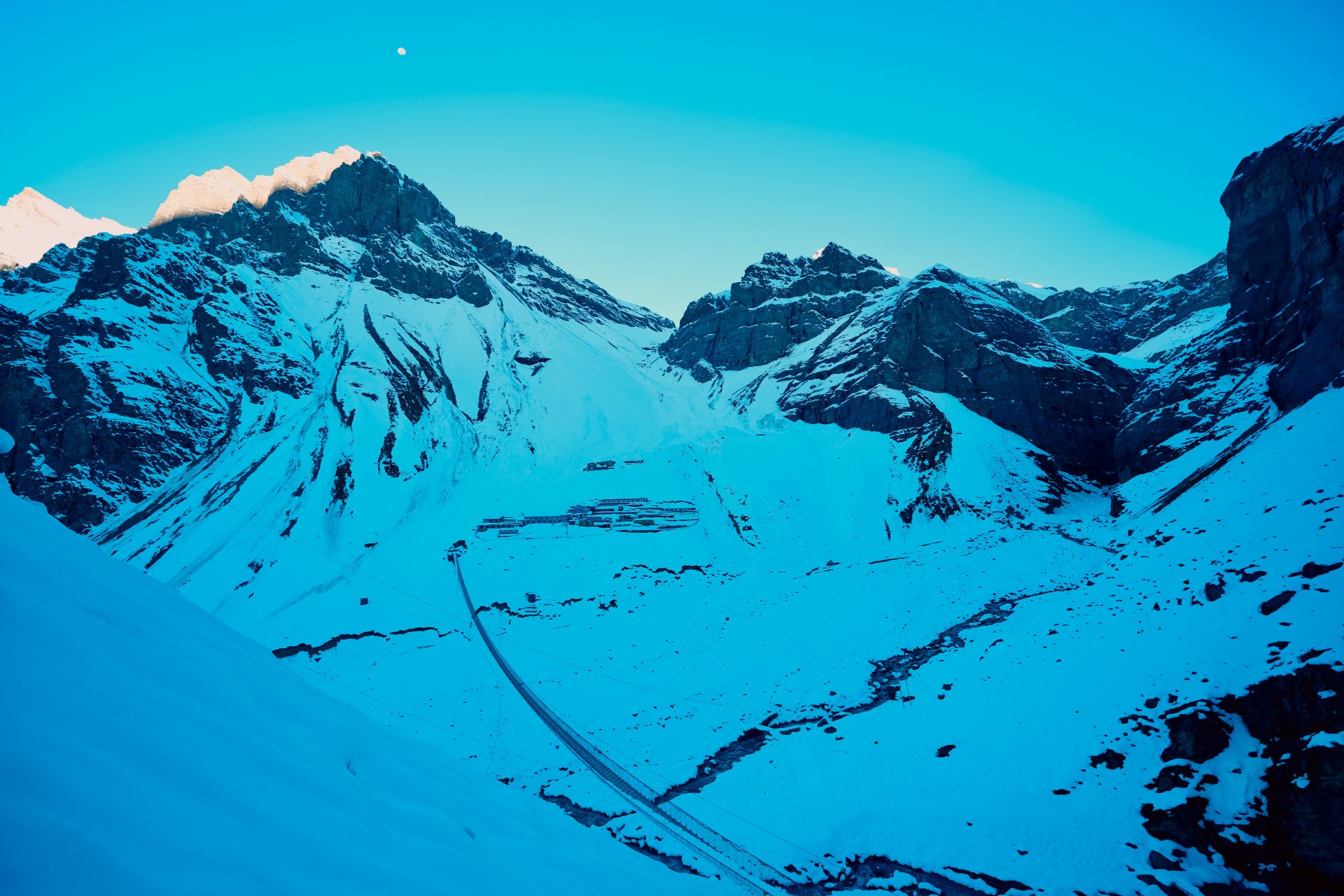
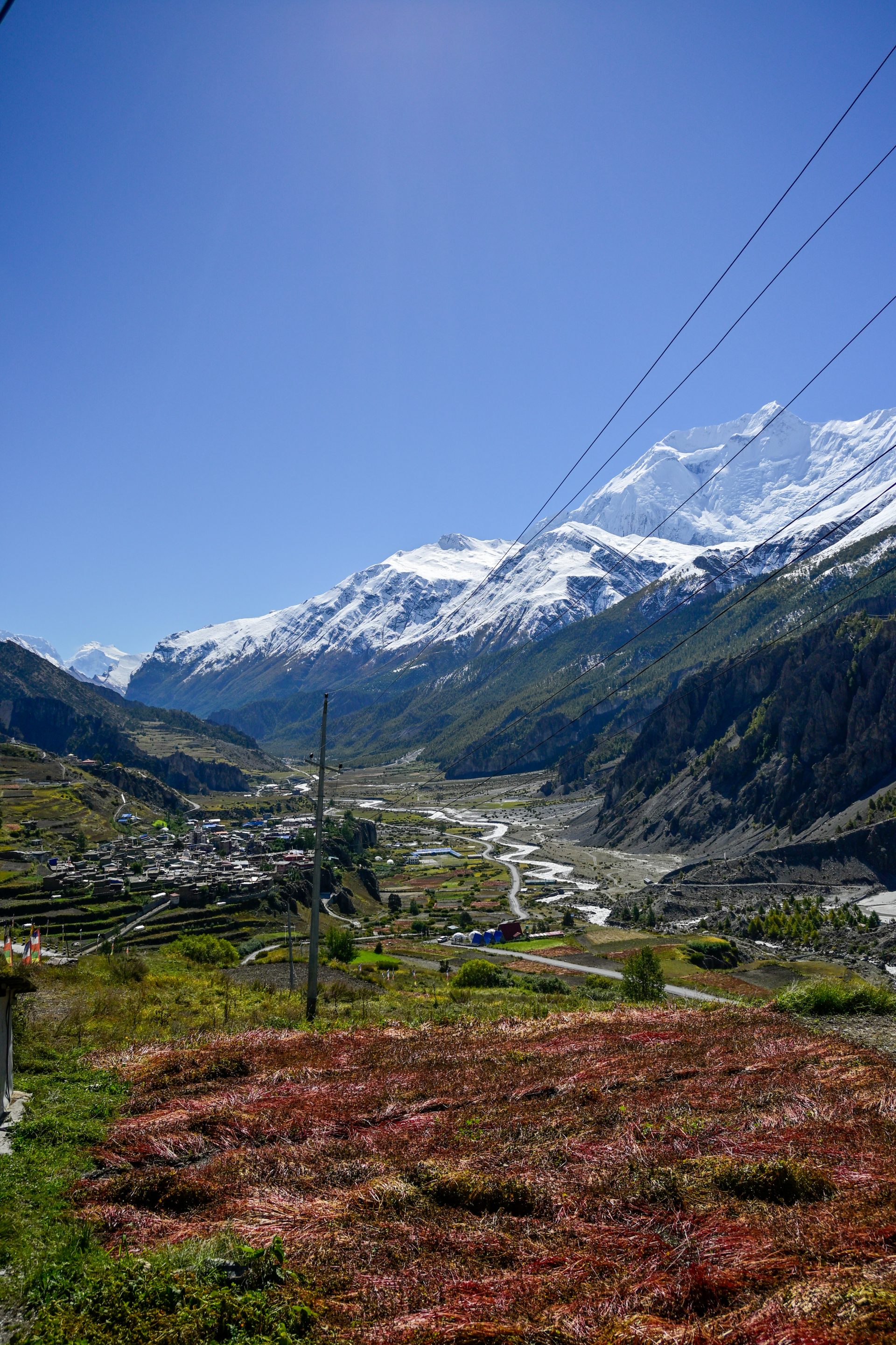
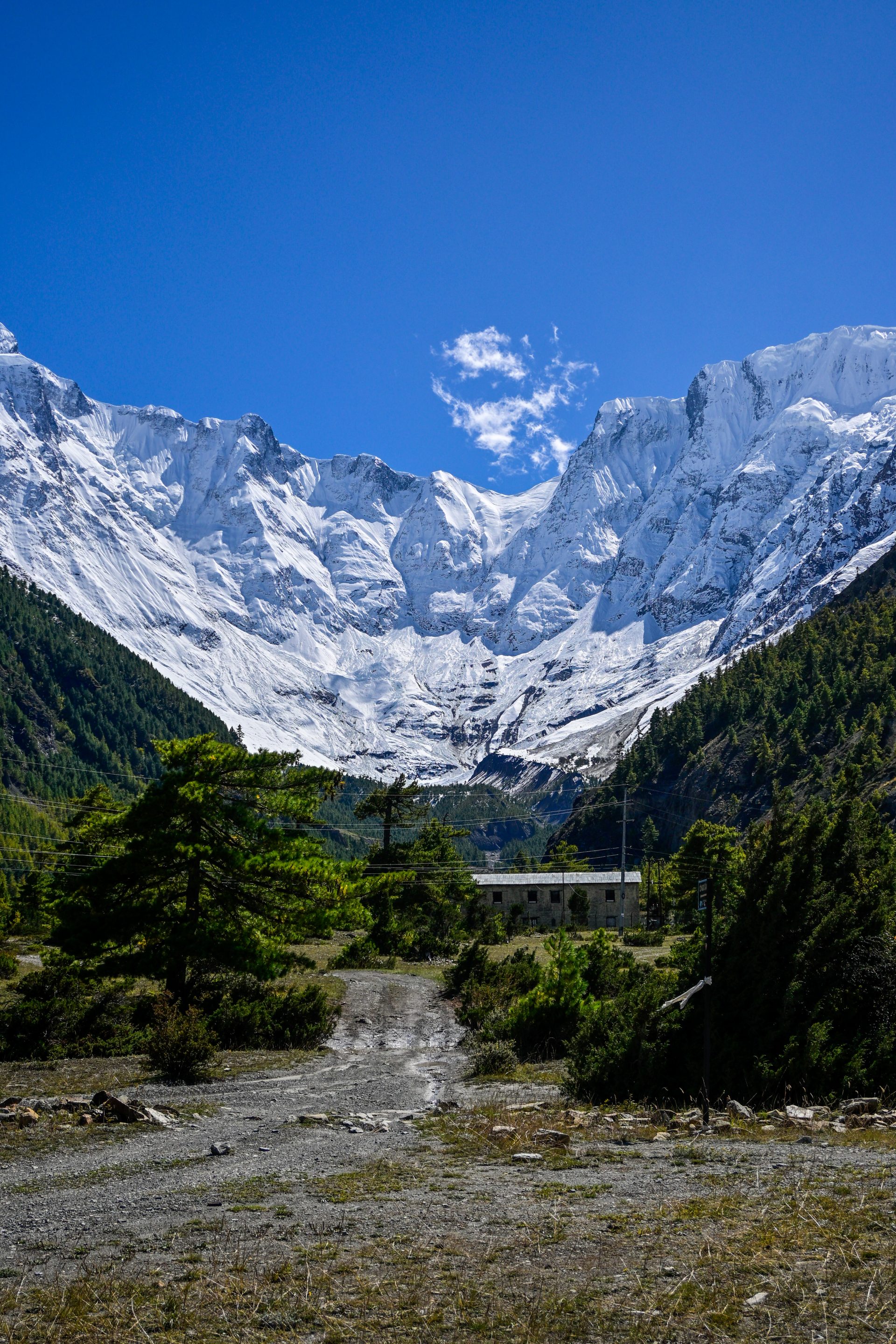
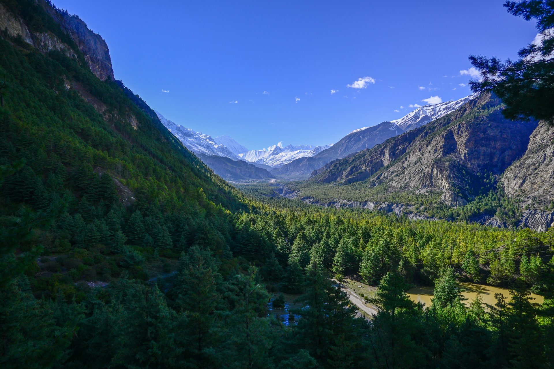
All trail and street – straightforward. We had a cyclone bringing snow. Due to that, we are way, way slower than normal.
🔒 Login
DAY 39 – 32.51 km | 565m | 6h 43m | 8h 38m | Dharapani
_DSC5860
_DSC5868
20261001_083932
20261001_104128

_DSC5861
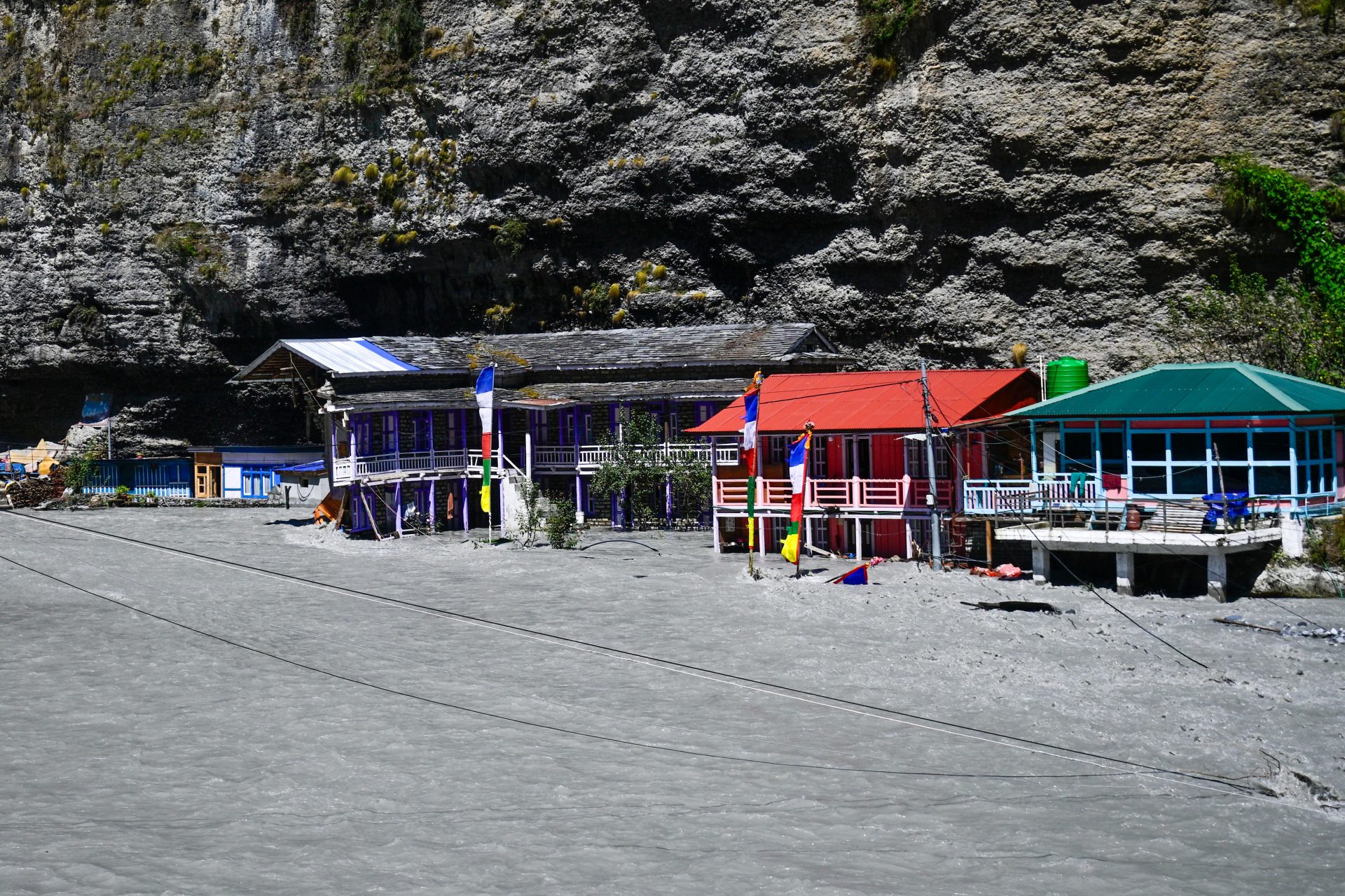
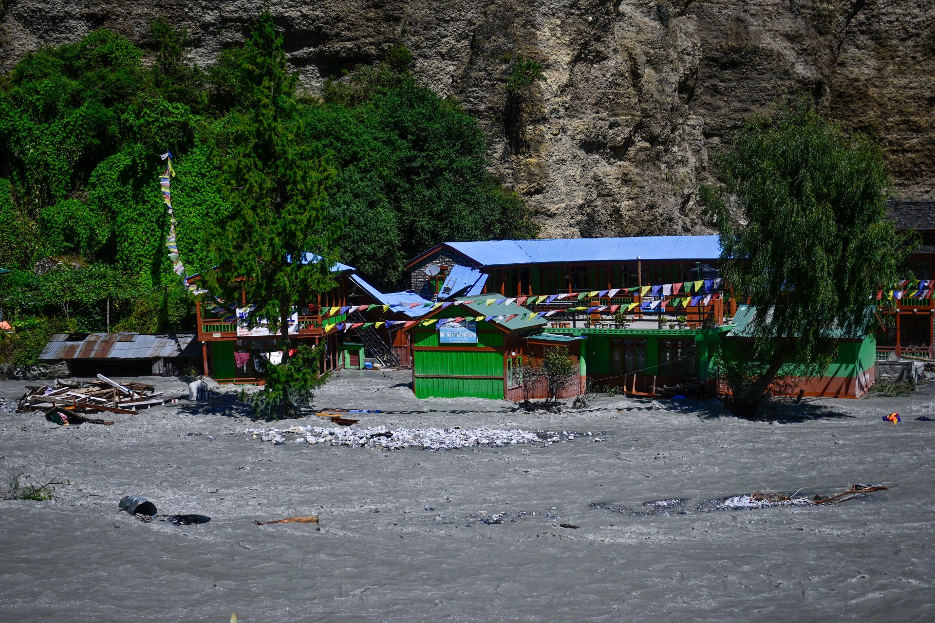
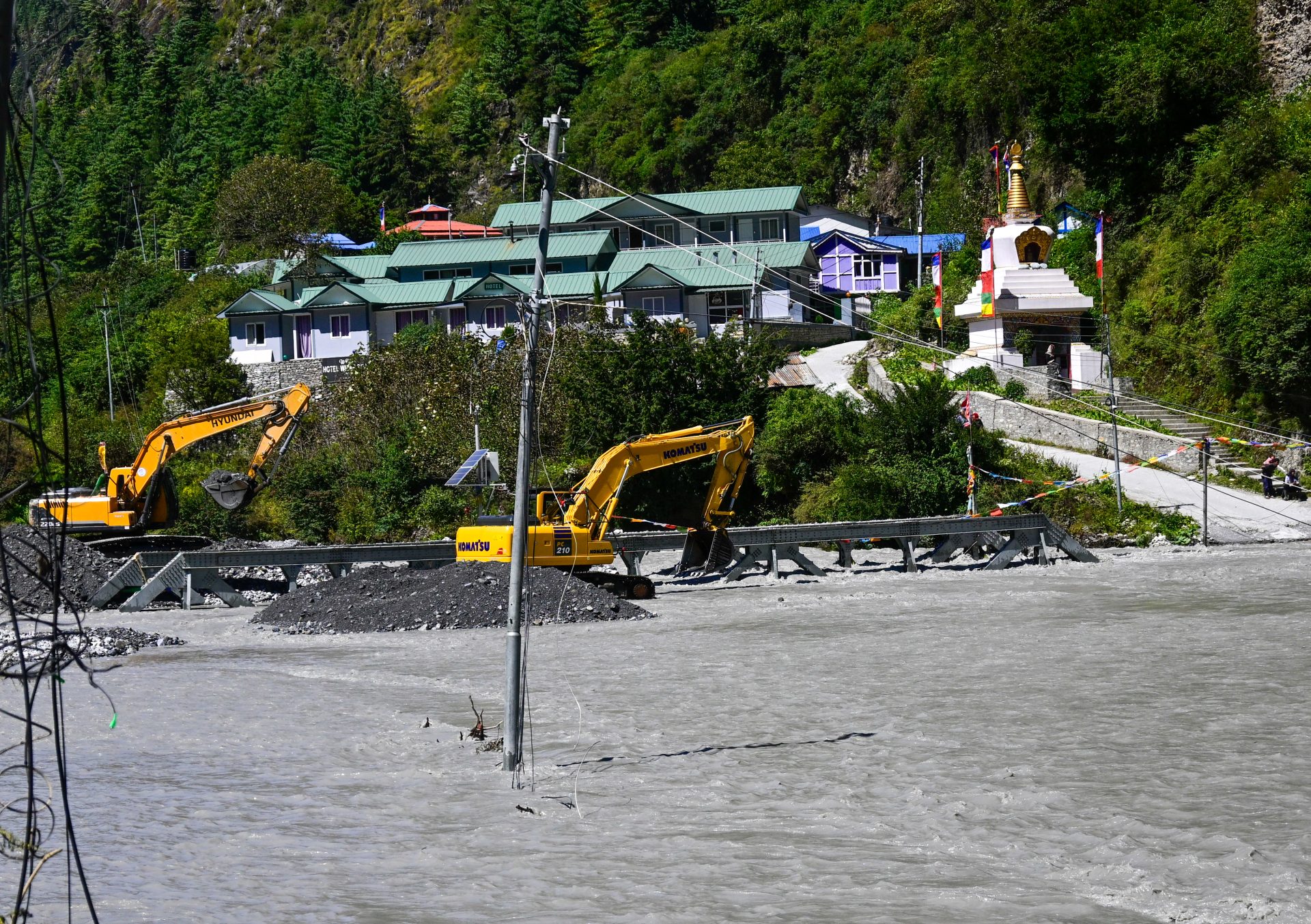
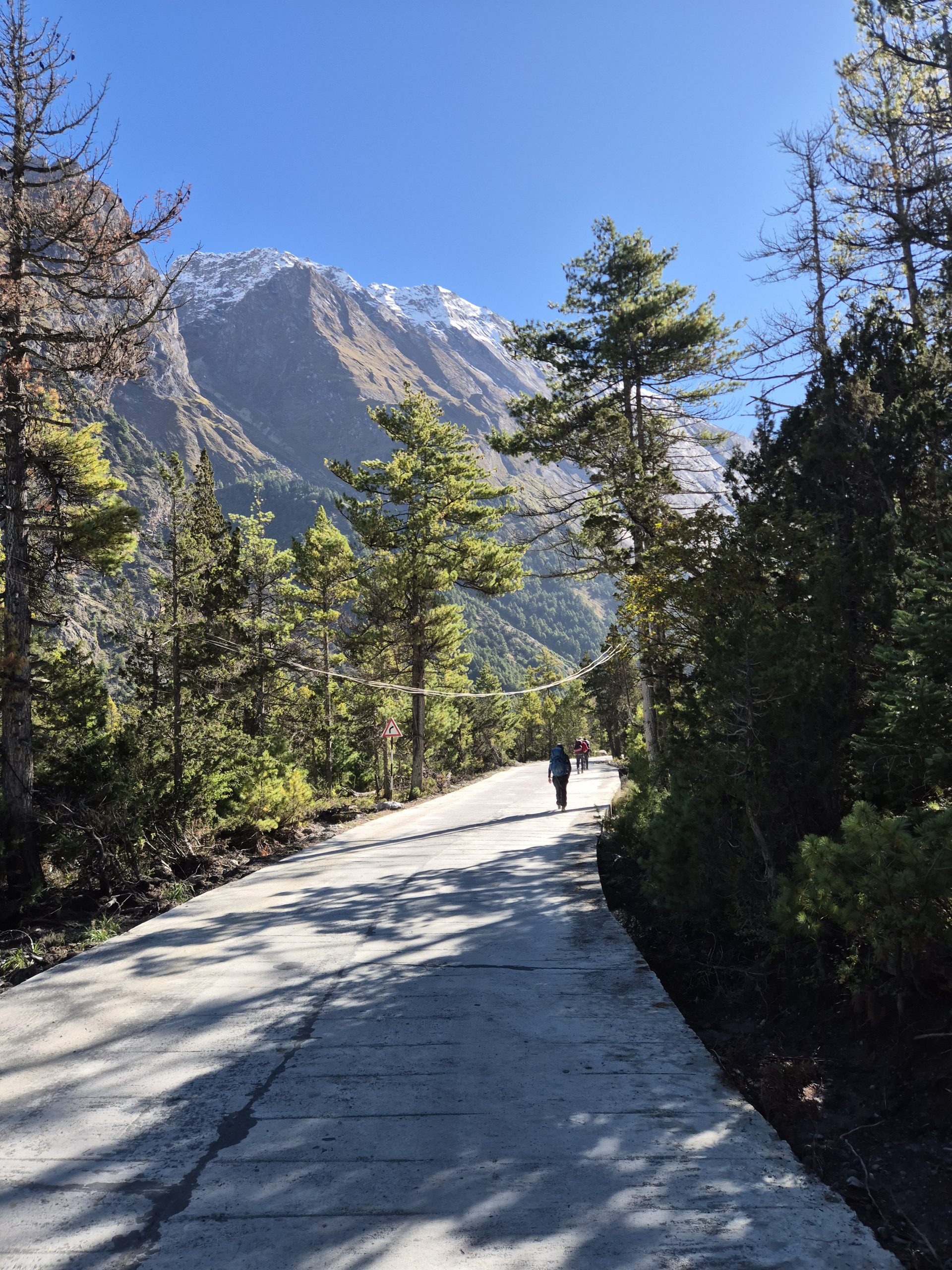
Straightforward all street. Needed to take one detour due to landslide – was trail.
🔒 Login
DAY 41 – 15.99 km | 1.330m | 3h 59m | 4h 05m | Chauli Kharka
20261003_091037
_DSC5875
_DSC5878
_A742844

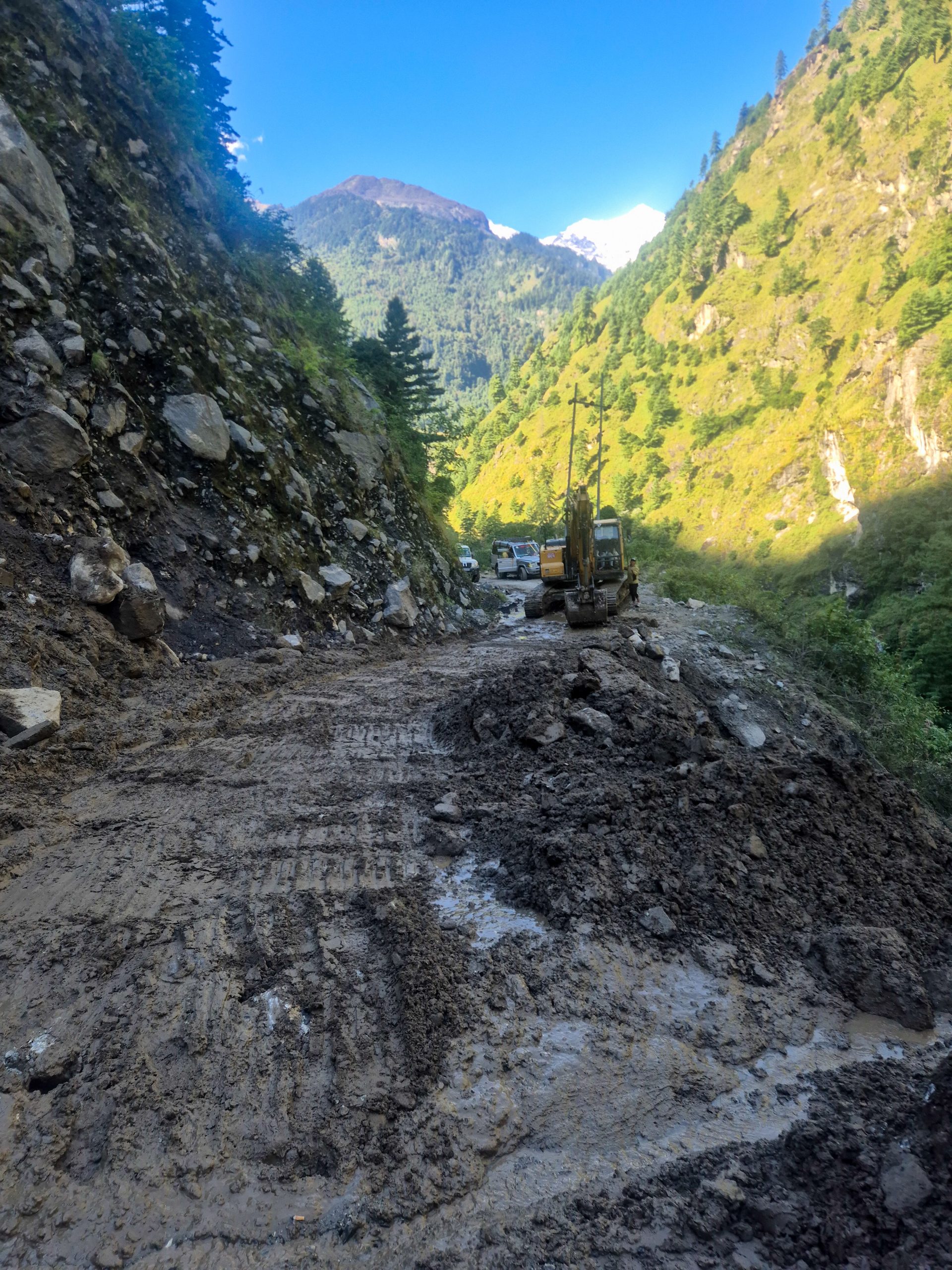
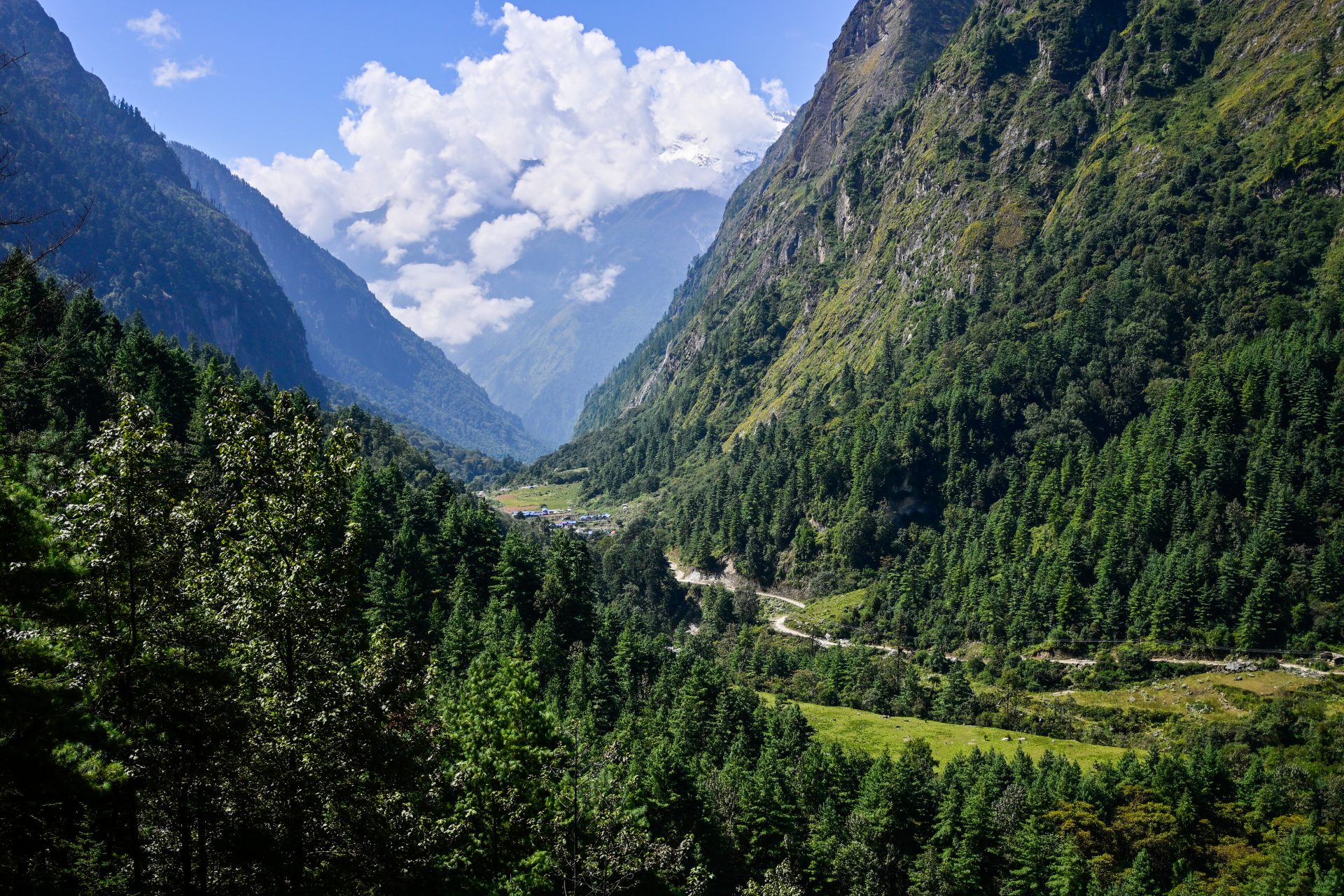
Mainly road. It turns into an old, abandoned road after the bridge. Still fast to hike. After the landslide, it’s all trail – straightforward.
🔒 Login
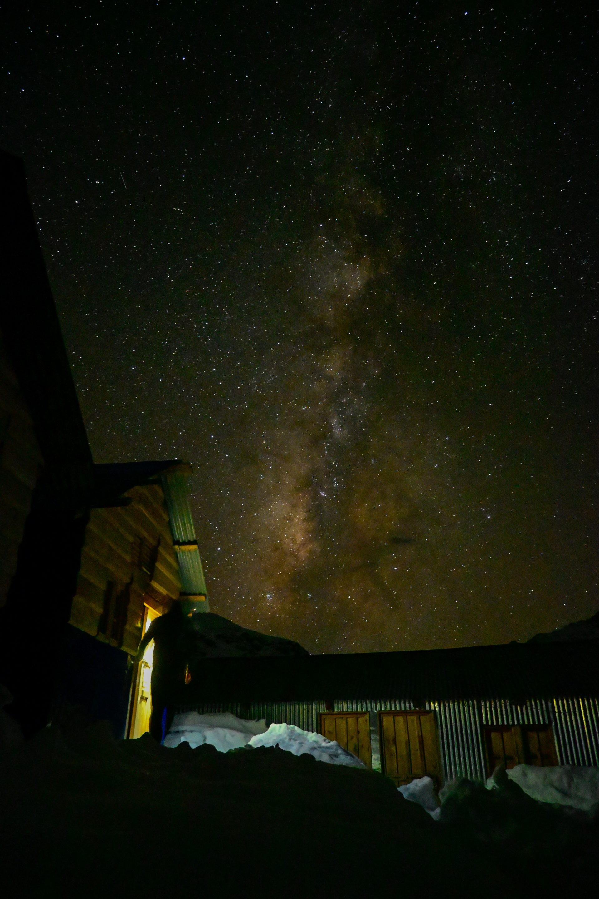
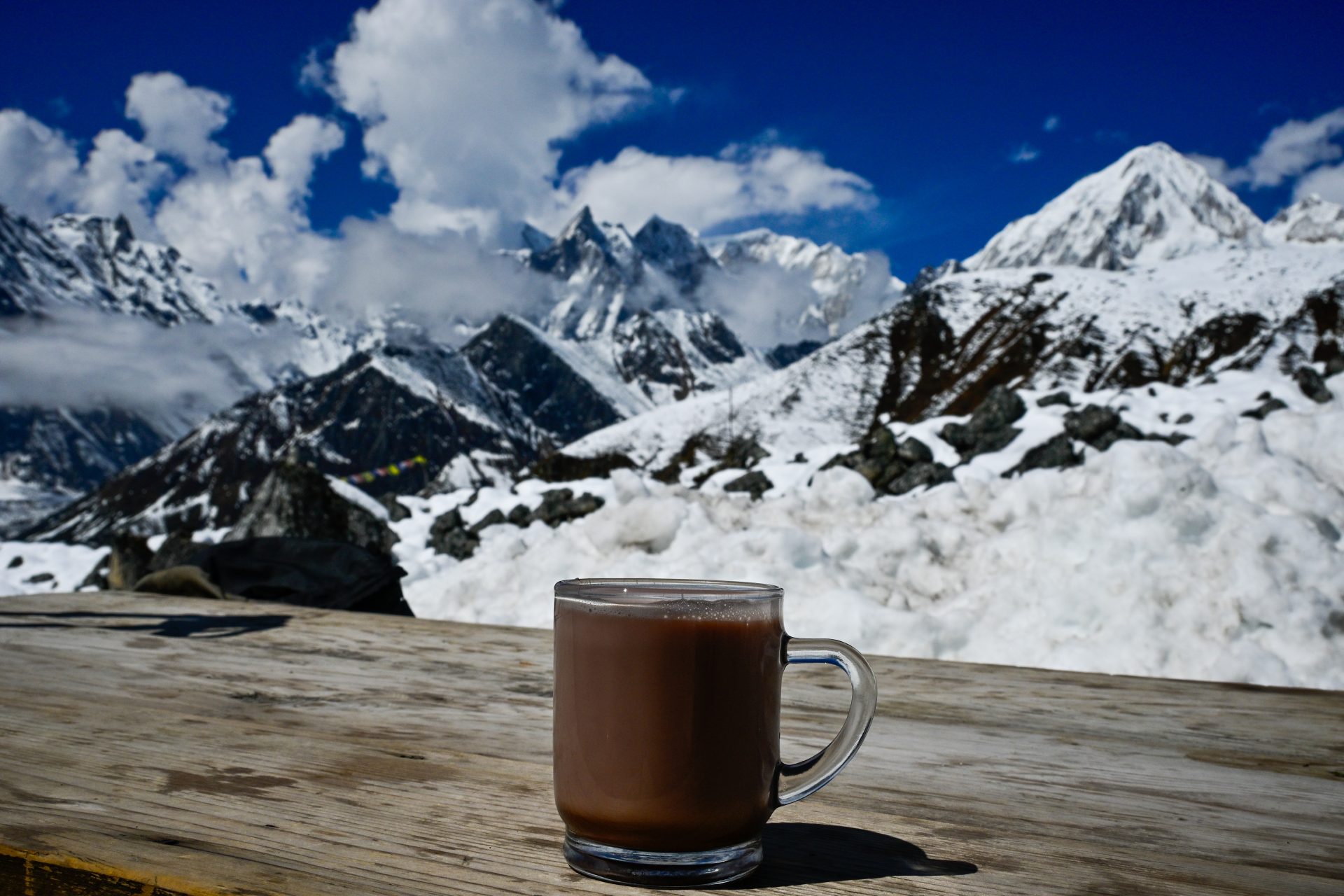
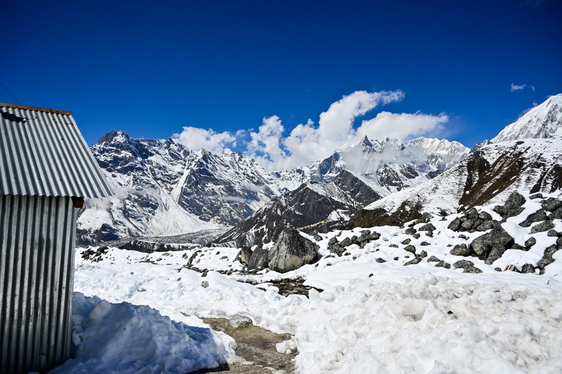
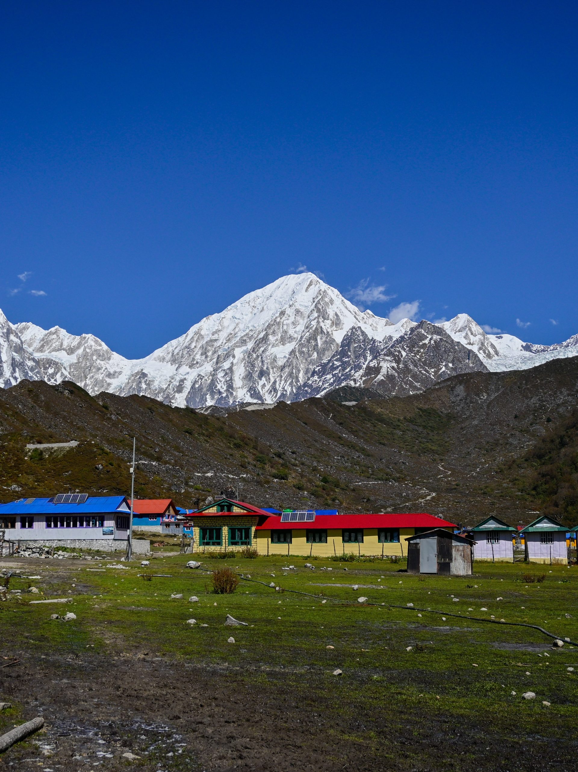
DAY 42 – 11.34 km | 1.395m | 3h 40m | 3h 49m | High Camp
_DSC5926
_DSC5913
_DSC5891
_DSC5889
_DSC5887
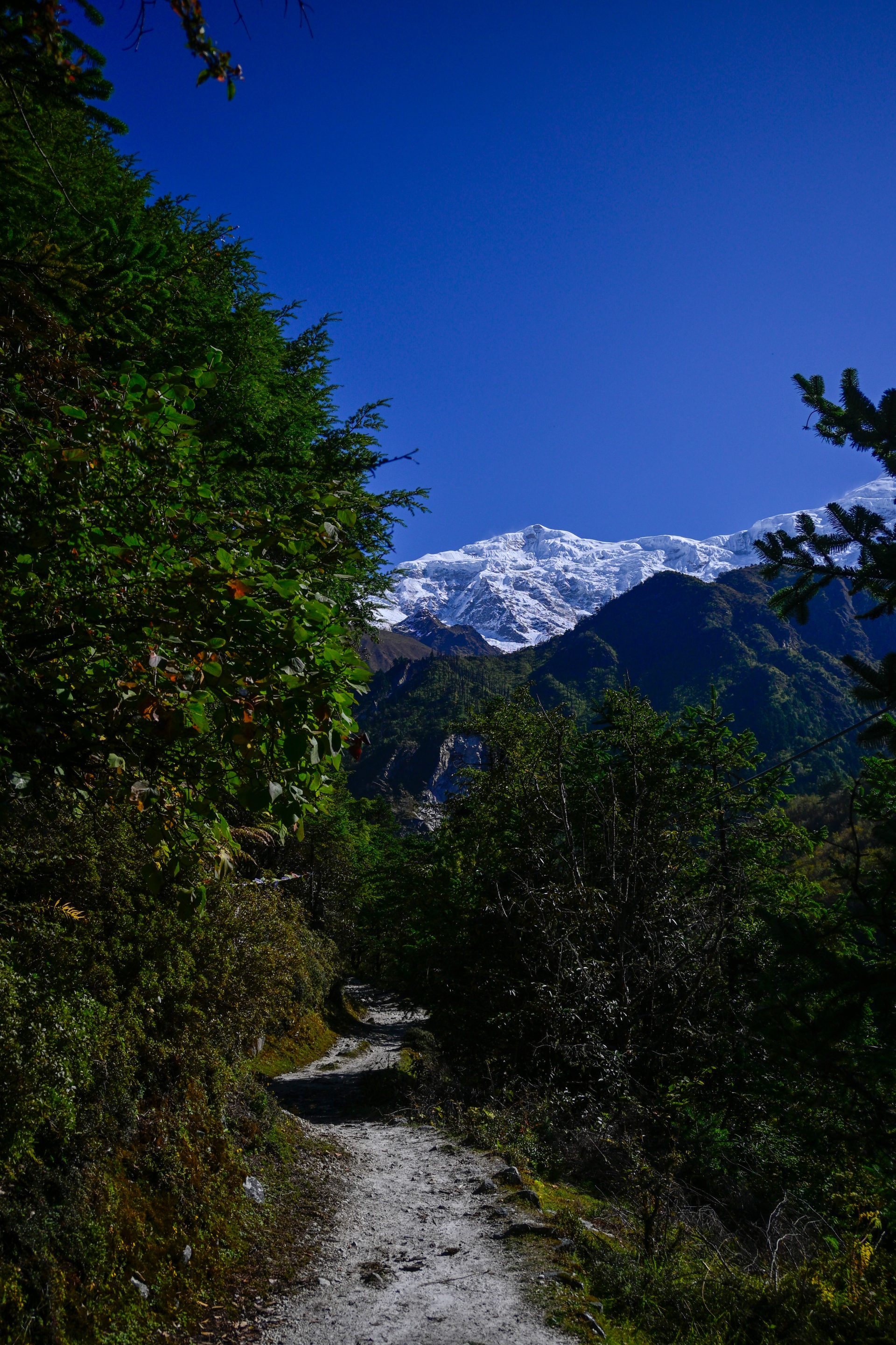
All straightforward, easy trail.
🔒 Login
DAY 43 – 25.40 km | 1.159m | 7h 08m | 8h 49m |Samagaon
_DSC5967
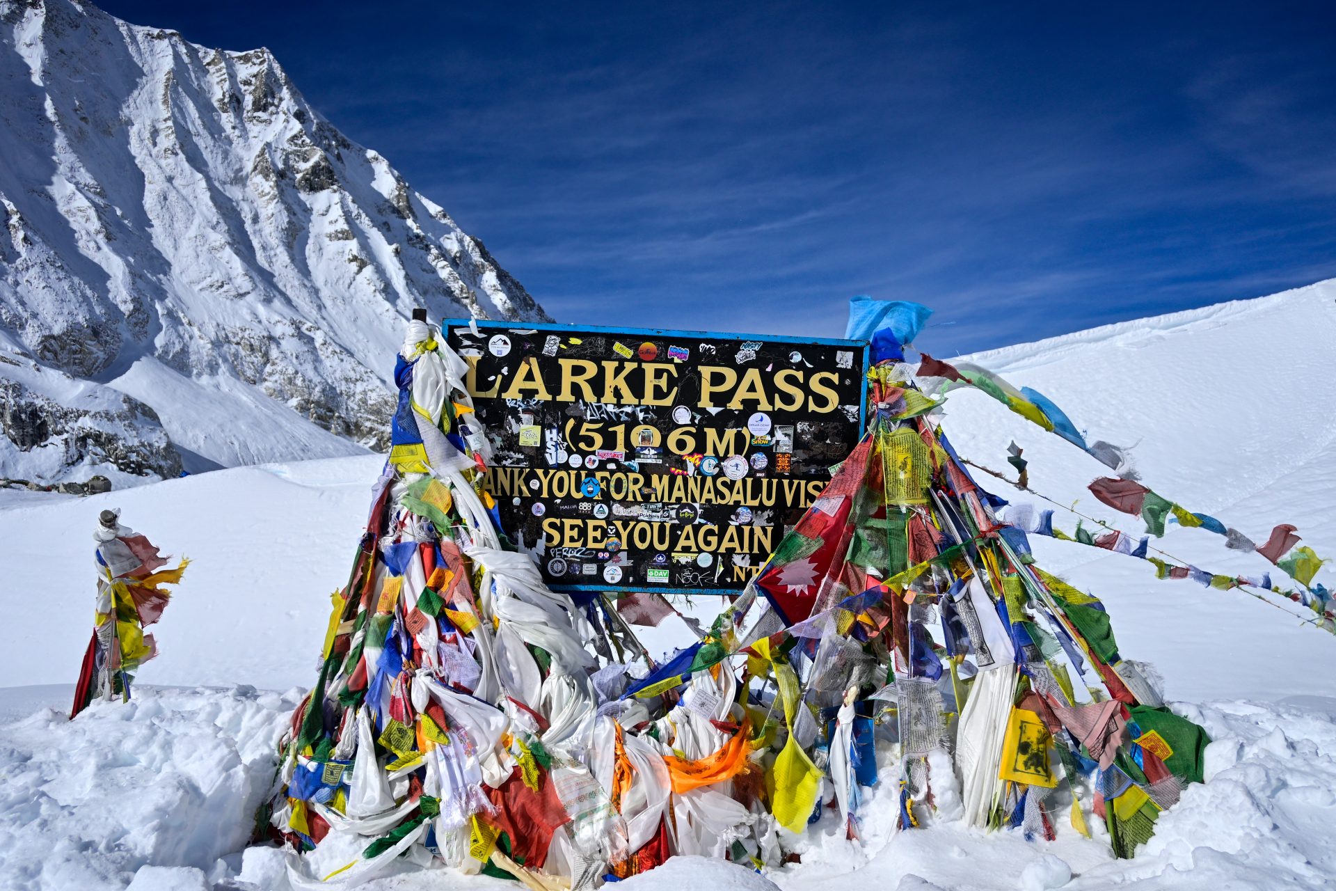
_DSC5962
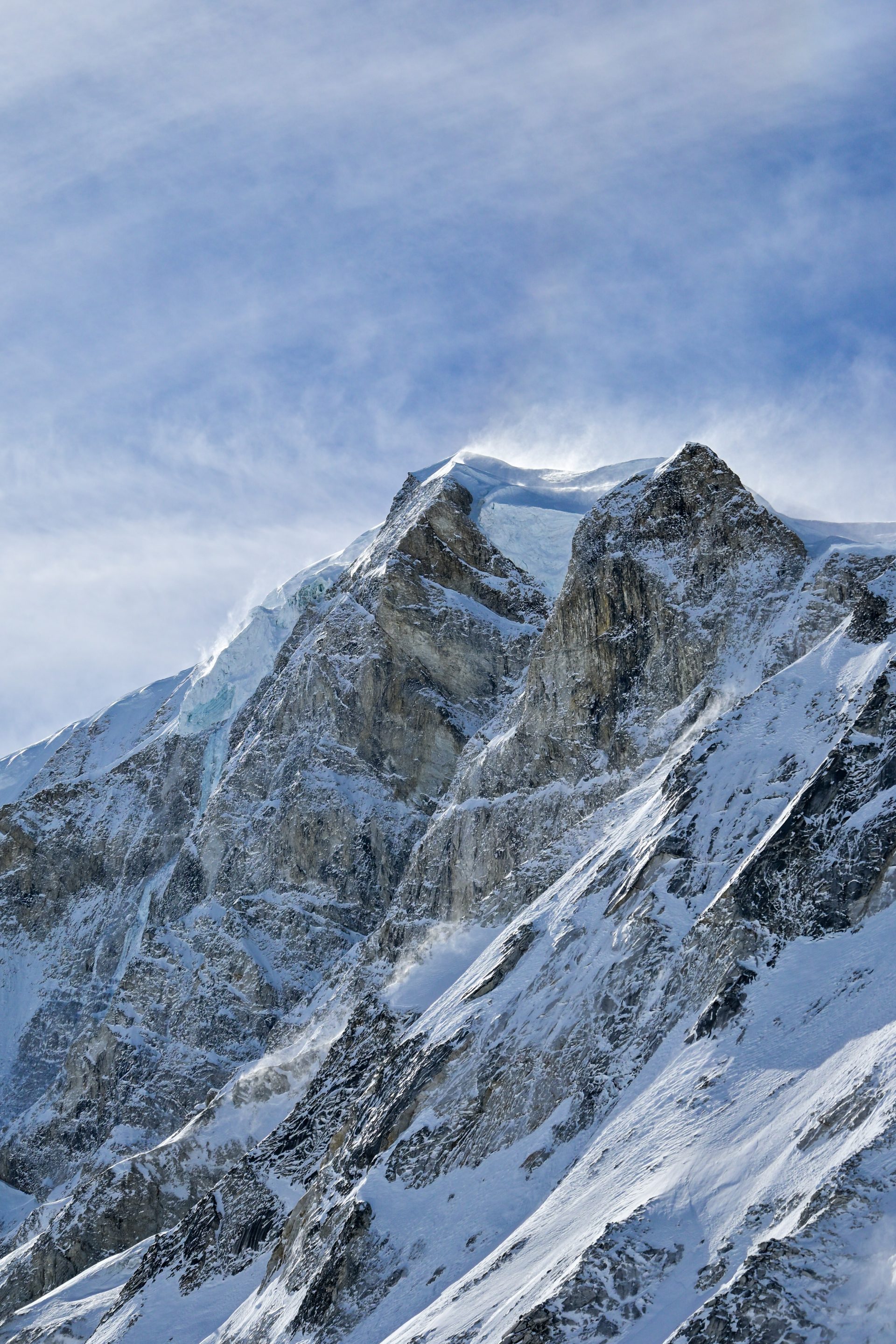
_DSC5974
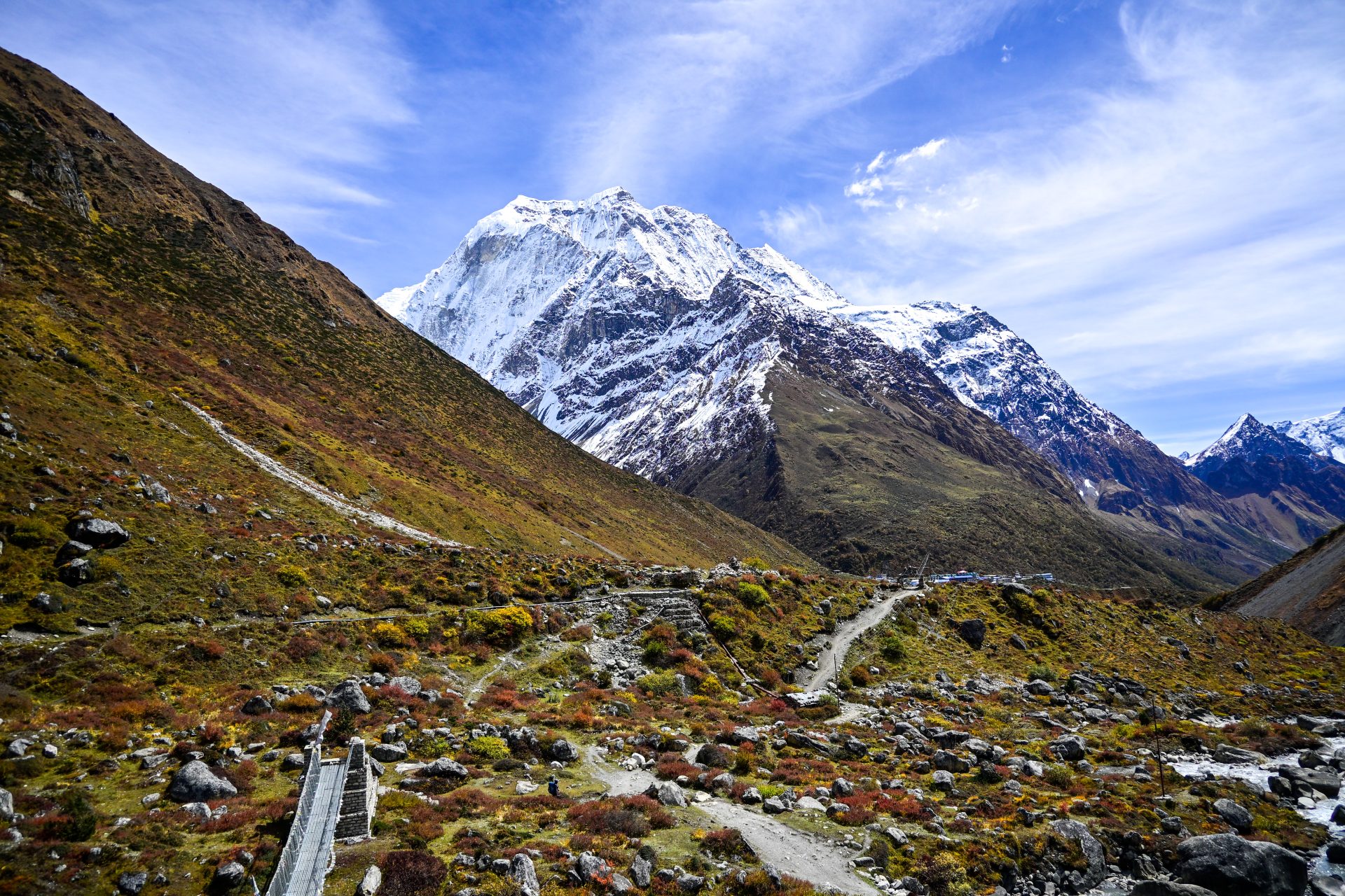
All trail, straightforward.
🔒 Login
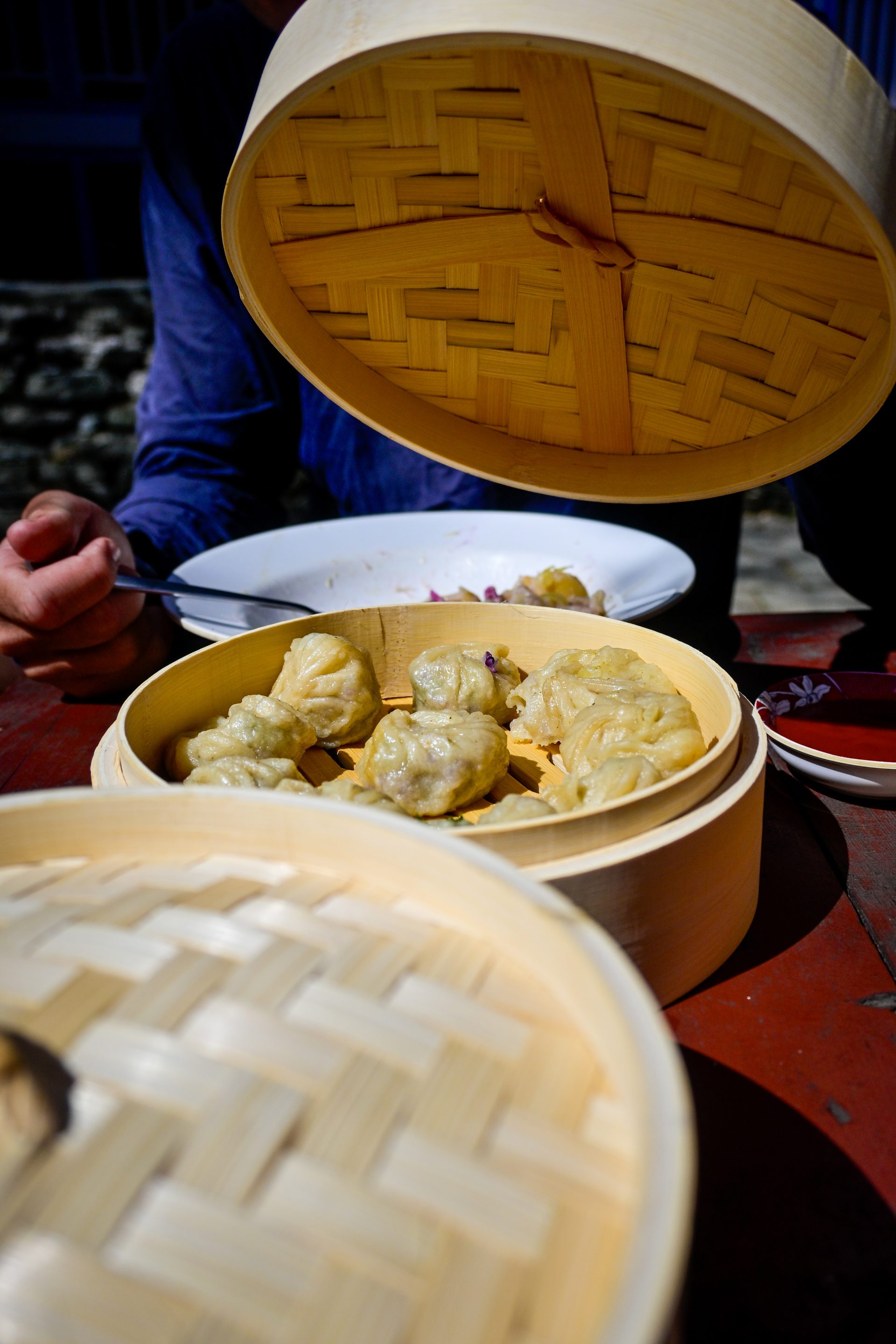
DAY 45 – 28.66 km | 1.068m | 6h 16m | 7h 31m | Jagat
_DSC6014
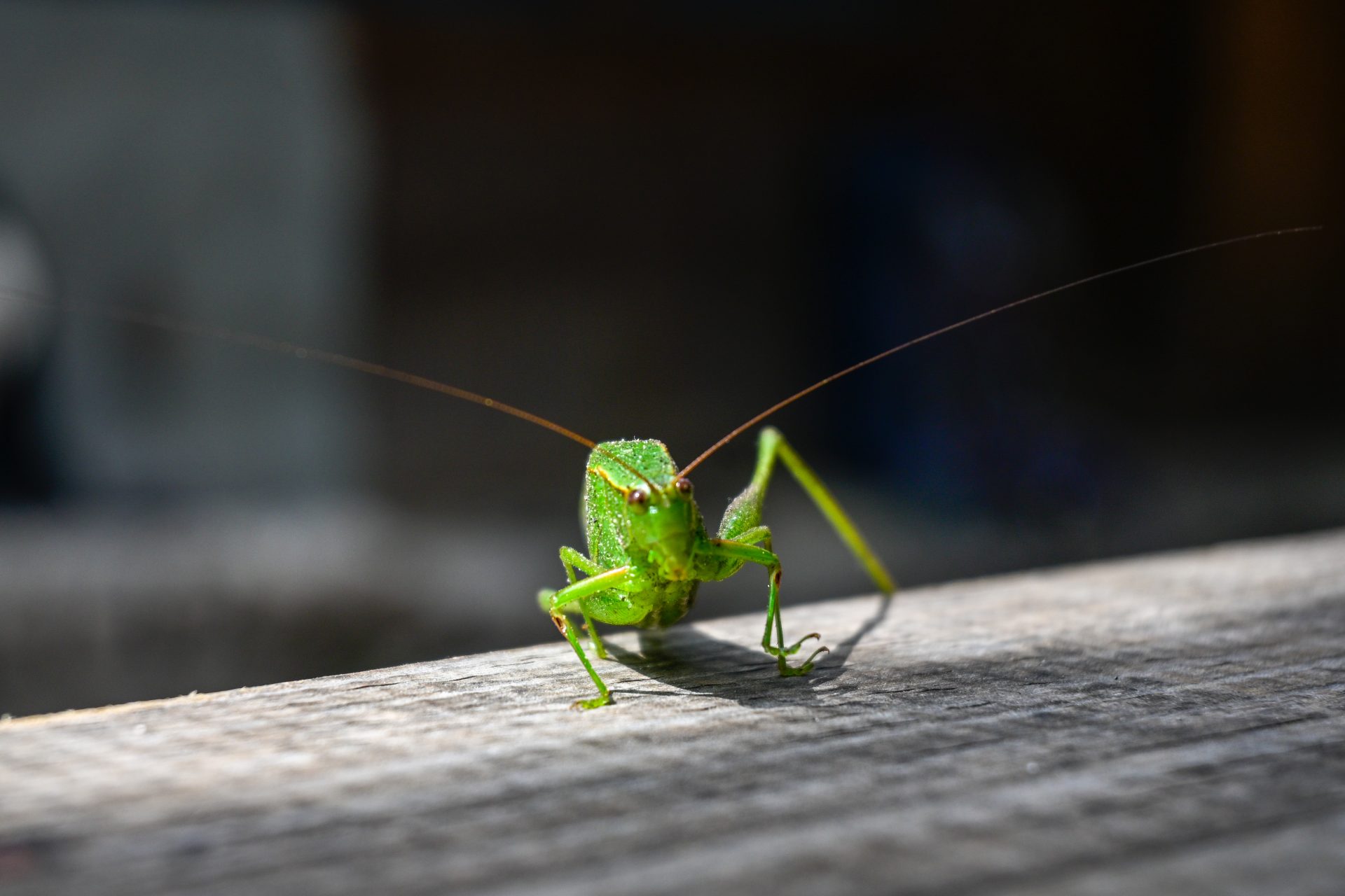
Easy, straightforward trail. After that, easy road walking.
🔒 Login
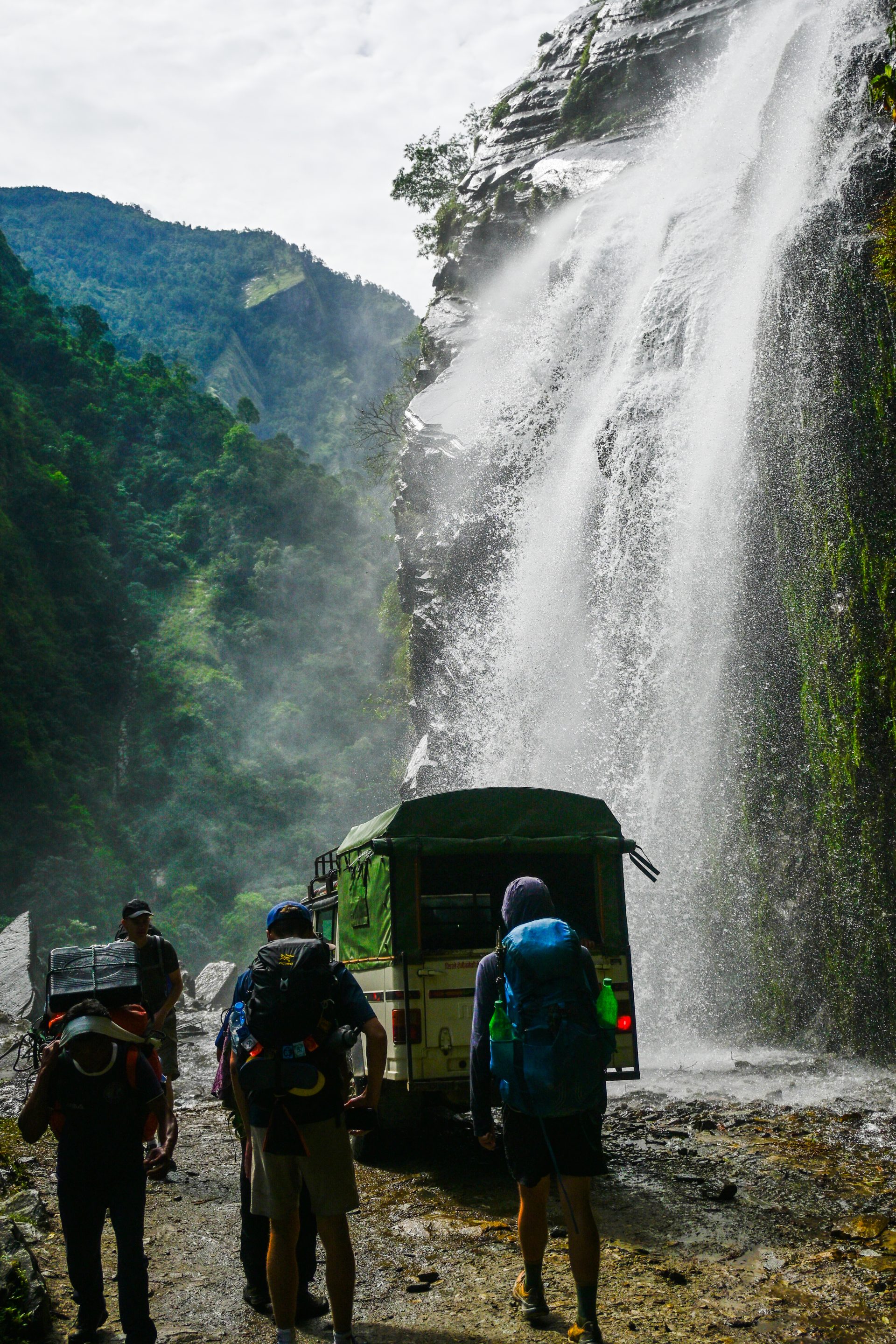
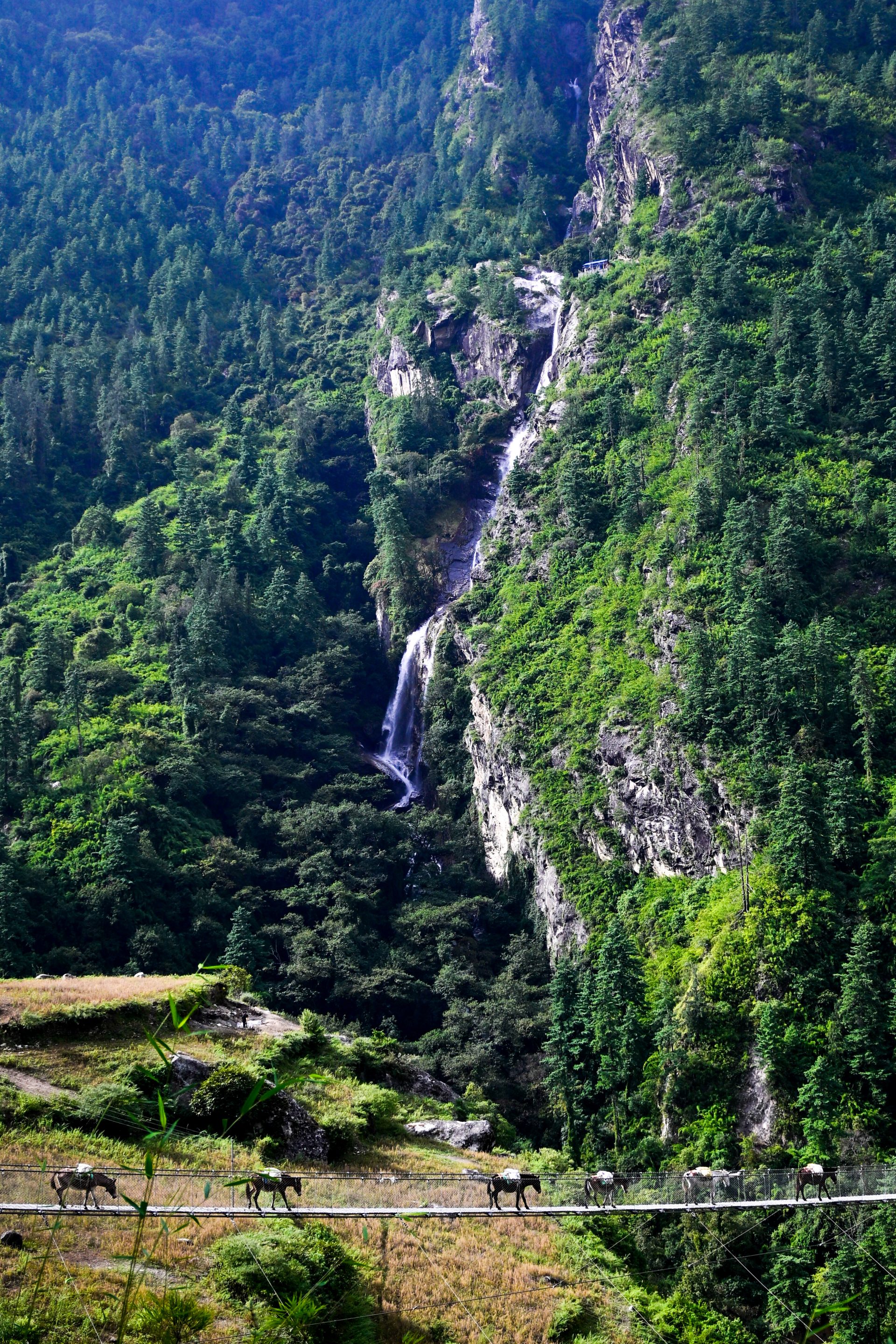
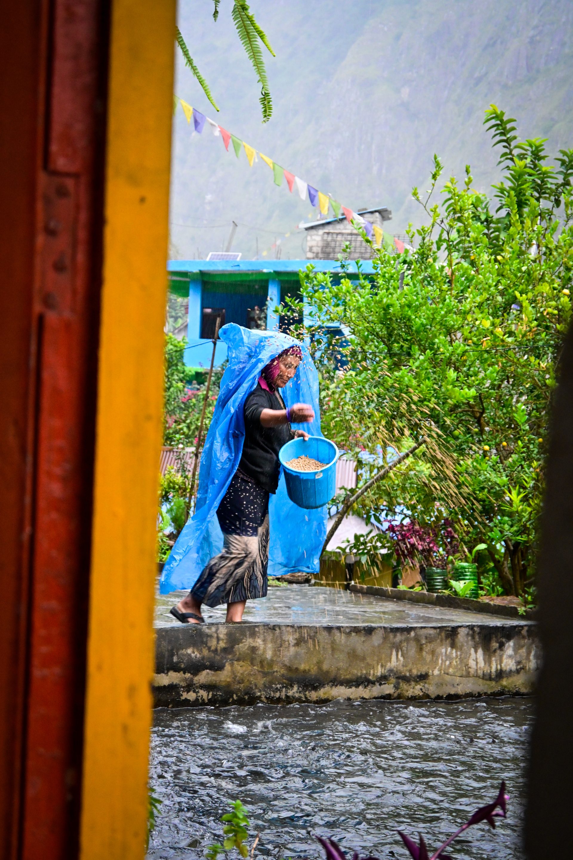
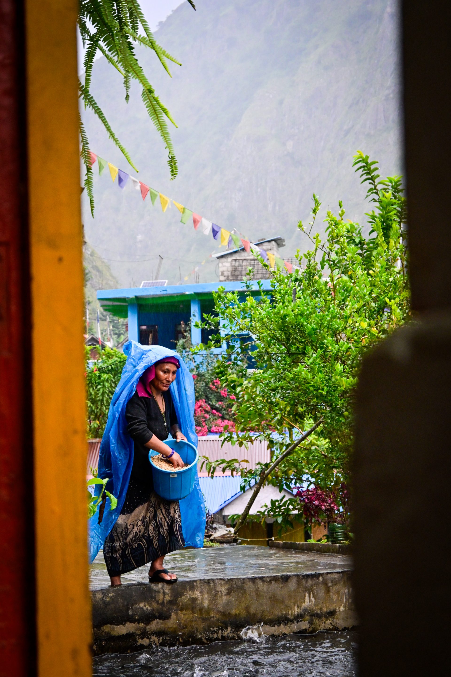
DAY 48 – 23.11 km | 1.714m | 5h 55m | 6h 29m | Kashigaun
20261010_155353
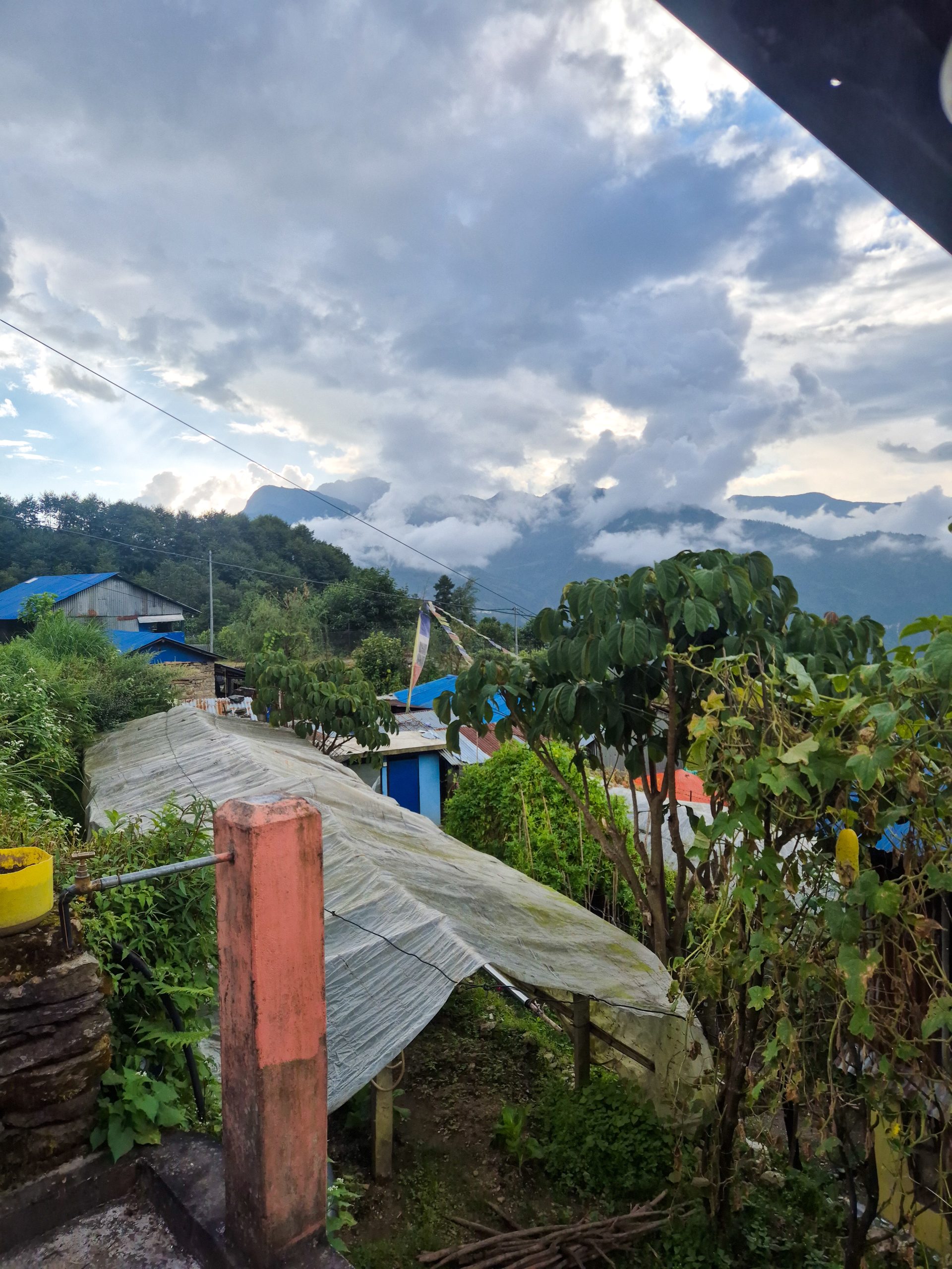
Straightforward road. After the bridge, it’s an old road. Some parts are a bit overgrown, but very easy and fast to hike. You could also take the trail from Khorlabesi, but we wanted to take the old road – though this trail is apparently also maintained. The locals said there is also a trail apparently from Khanibesi – I can’t confirm or give details. At one point, the old road turns into an easily maintained trail. After that, it’s kind of a street. Not possible by jeep, but maybe by motorcycle. Definitely too good for a trail, so I marked it as a street.
🔒 Login
DAY 49 – 36.67 km | 2.094m | 8h 51m | 9h 47m | Borang
20261011_113744
_DSC6087
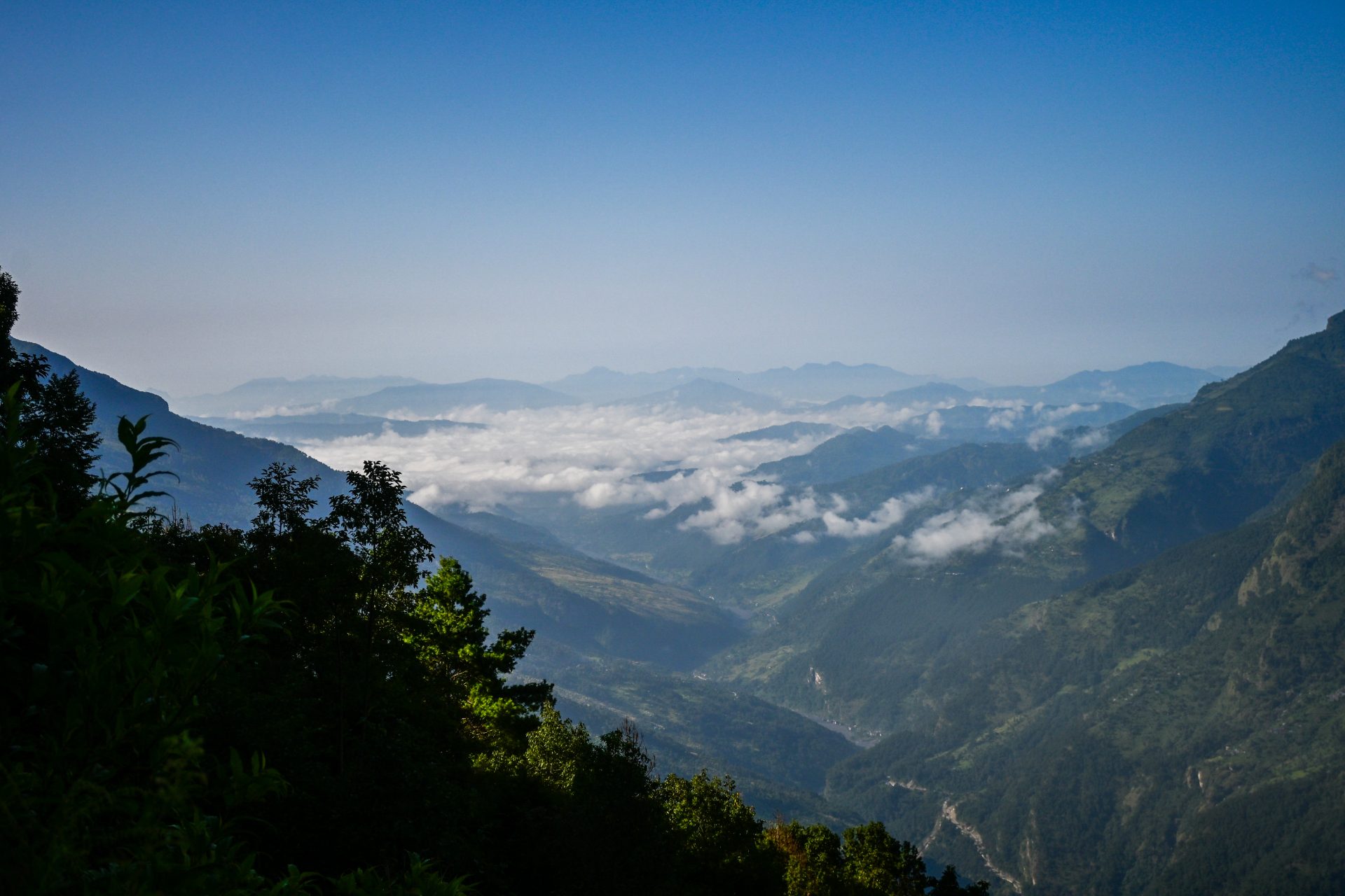
_DSC6094
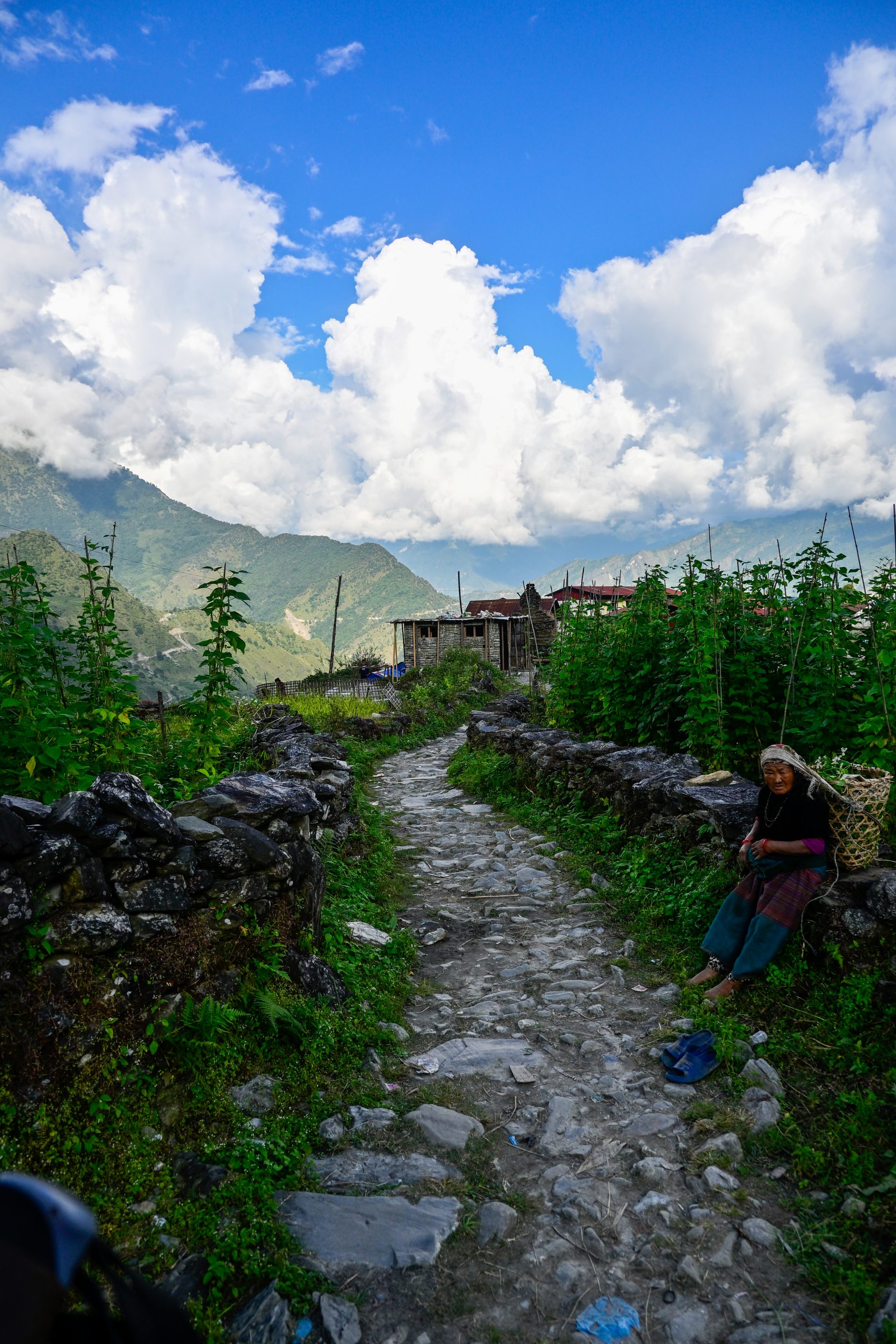
_DSC6090
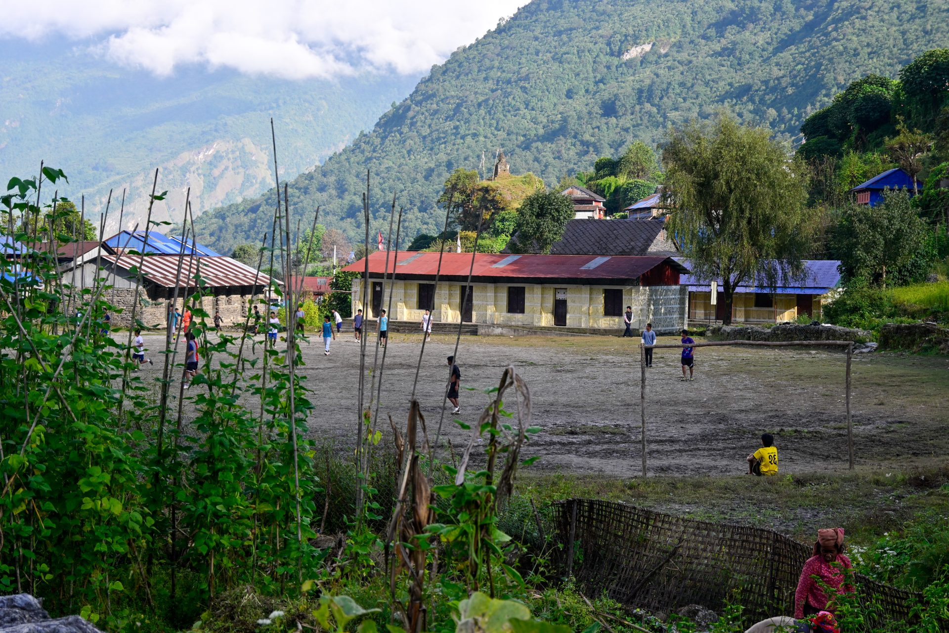
20261011_182932
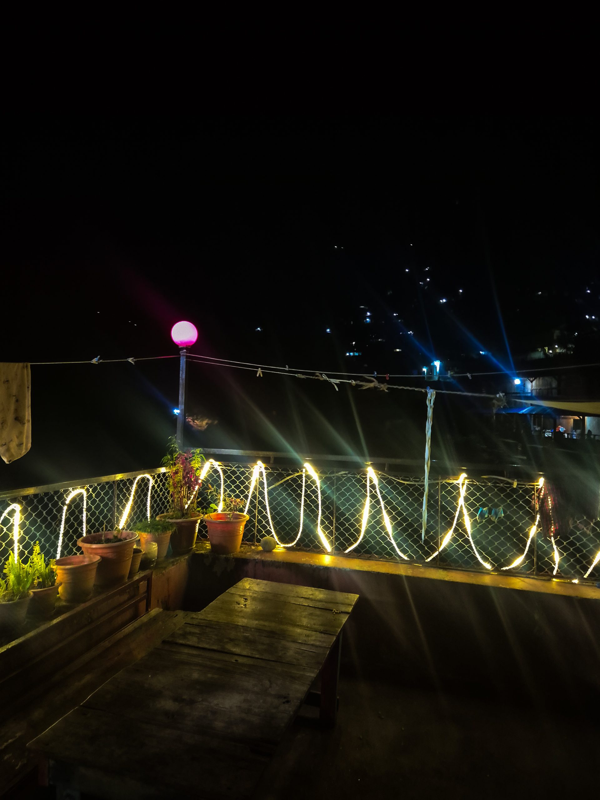
Road out of the village. Then the tricky parts start. There are three options:
- The north route (done by some other hikers one week before us) – apparently all trail.
- The central Route – This is my route. Walking the old road as far as possible.
- The south route – going via the Managi Bhaniyan pass.
TL;DR: I would recommend just following my GPX; it’s all the old road and easy to navigate with an easy incline.
Why not the other routes?
- My friend and I split. He took the north route, so there are two GPX trails available. The trail can be tricky to follow and see. The first 1 km is a bit of vegetation in the way. It is also steeper than the central route.
- The southern route is something I talked to the person who hiked/recorded it (thanks again!). He himself doesn’t recommend it. He also recommends the central route.
- The route from Wilderness Prime [Dave] is basically the central route. On the pass, he connects from the old road to the trail. My route also takes the road on the downhill.
Detailed Notes:
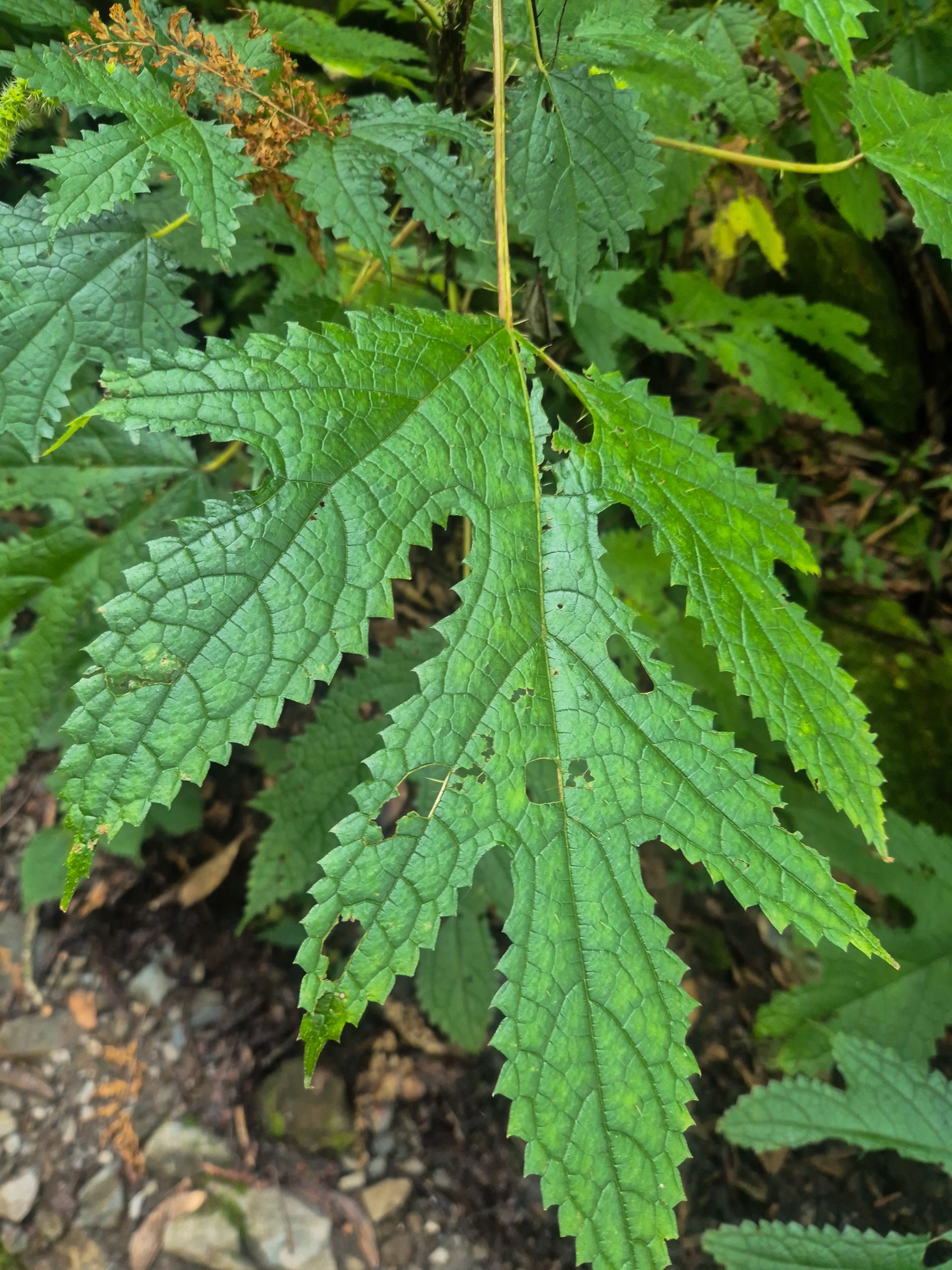
After the bridge, the old road starts (this street is no longer in use). Against what we have heard from local guides, it is not maintained by machinery. It is used by a few locals based on the tracks, and some plants were cut. Until 2000 m, there were quite a few leeches. You can take the old road or shortcuts until the junction where the north route starts. At this point, the quality of the old road gets worse. There are three parts where the trail is overgrown [Overgrown—not bush bashing, just plants hanging on the trail. Two of them are spiky and cause skin irritation]. Nothing horrible, just annoying.
At one part, the old road is a dead end due to a landslide, but they fixed it back in the day, so there is a switchback you have to take to continue on the old road. After this, the old road gets significantly better. It is very easy to hike until the old road ends and you hit a well-maintained hiking trail. It is basically all stairs from there to Khading.
After that, it’s straightforward trail or road.
🔒 Login
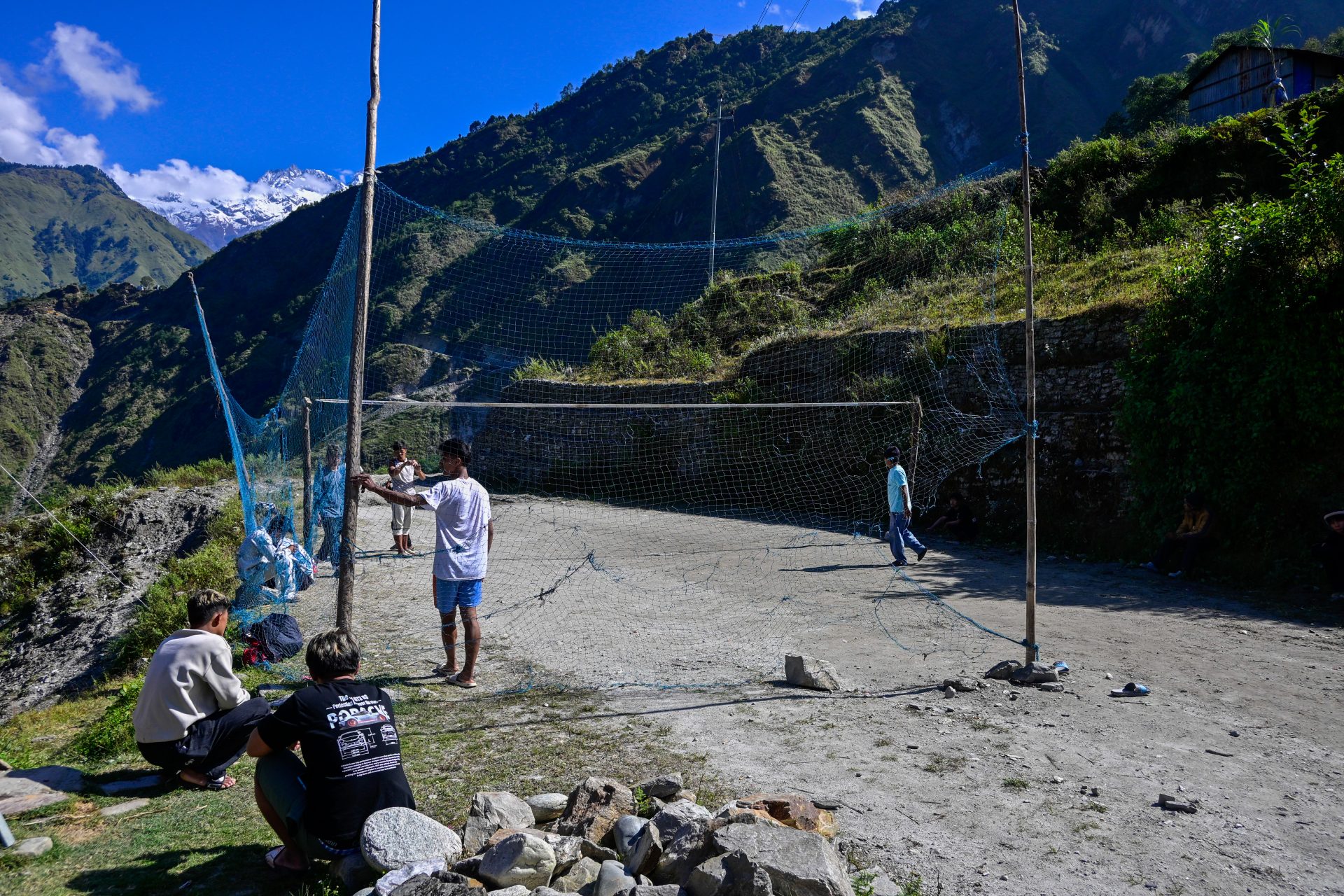
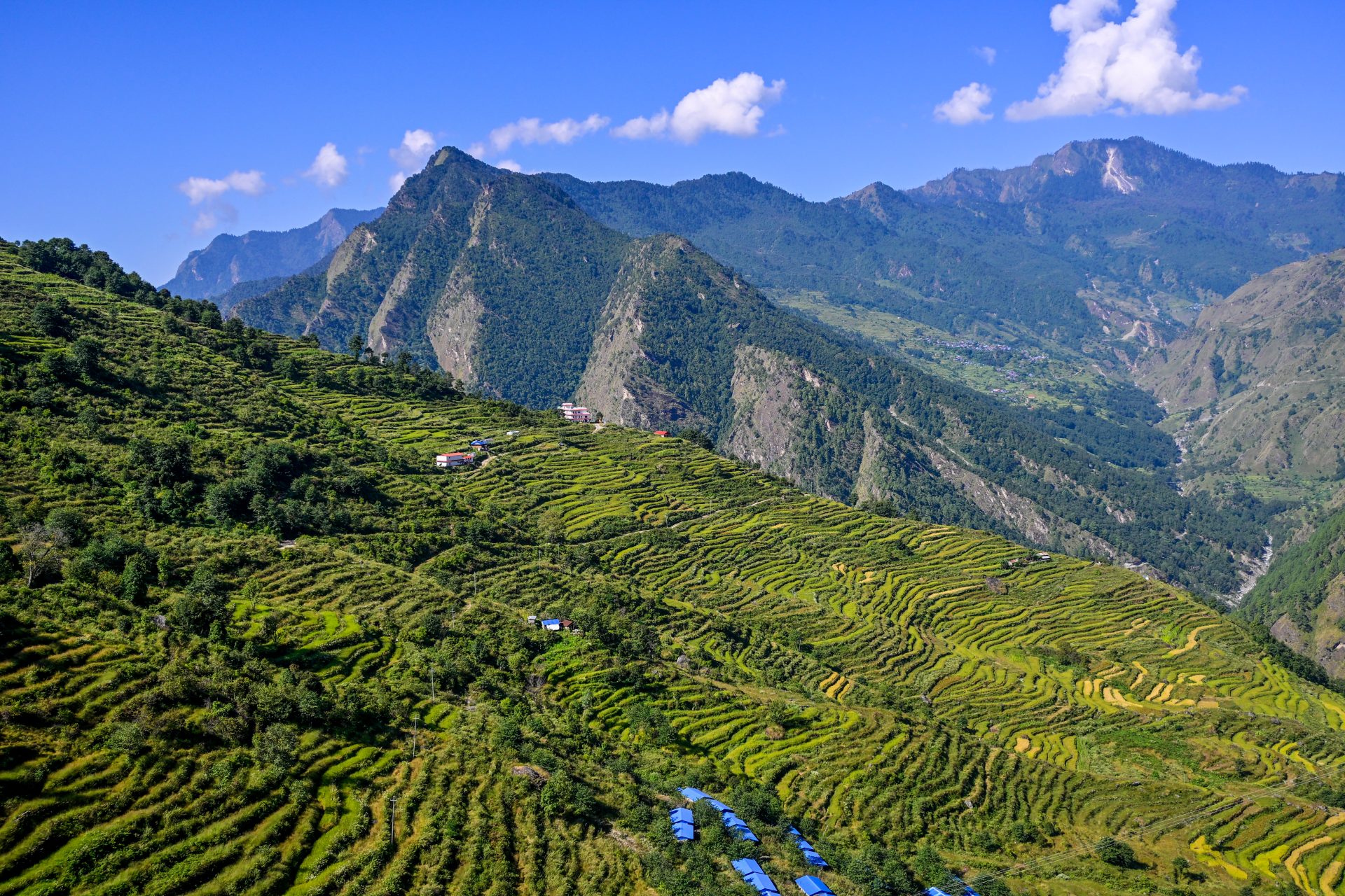
DAY 51 – 25.61 km | 1.686m | 5h 56m | 6h 21m | Somdang
_DSC6110
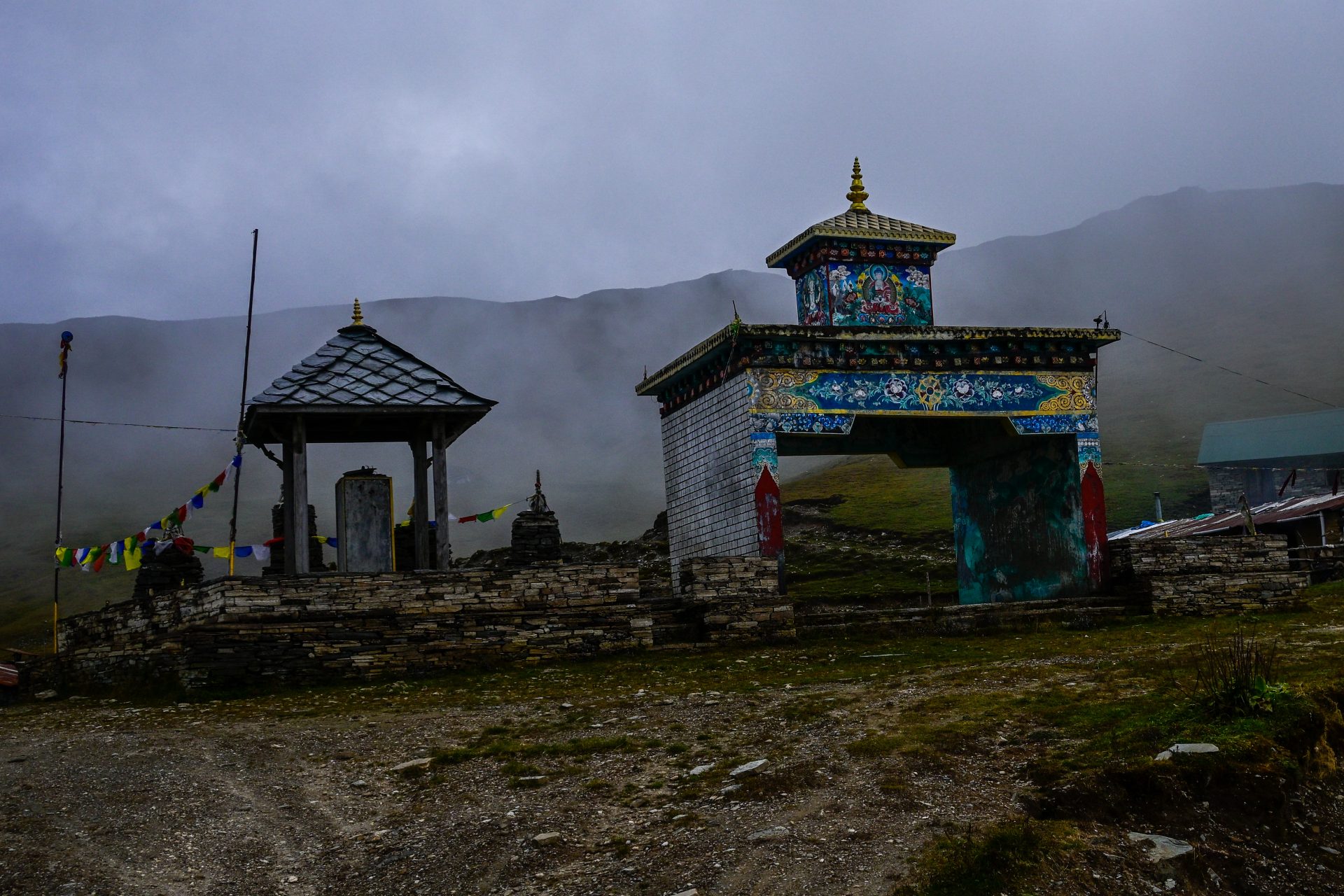
All road walking. Easy and straightforward. You can also take the trail and shortcut, which is 9 km shorter – same elevation, just steeper. Good trail, easy to follow.
🔒 Login
DAY 52 – 13.42 km | 495m | 3h 32m | 3h 39m | Gatlang
20261014_172640
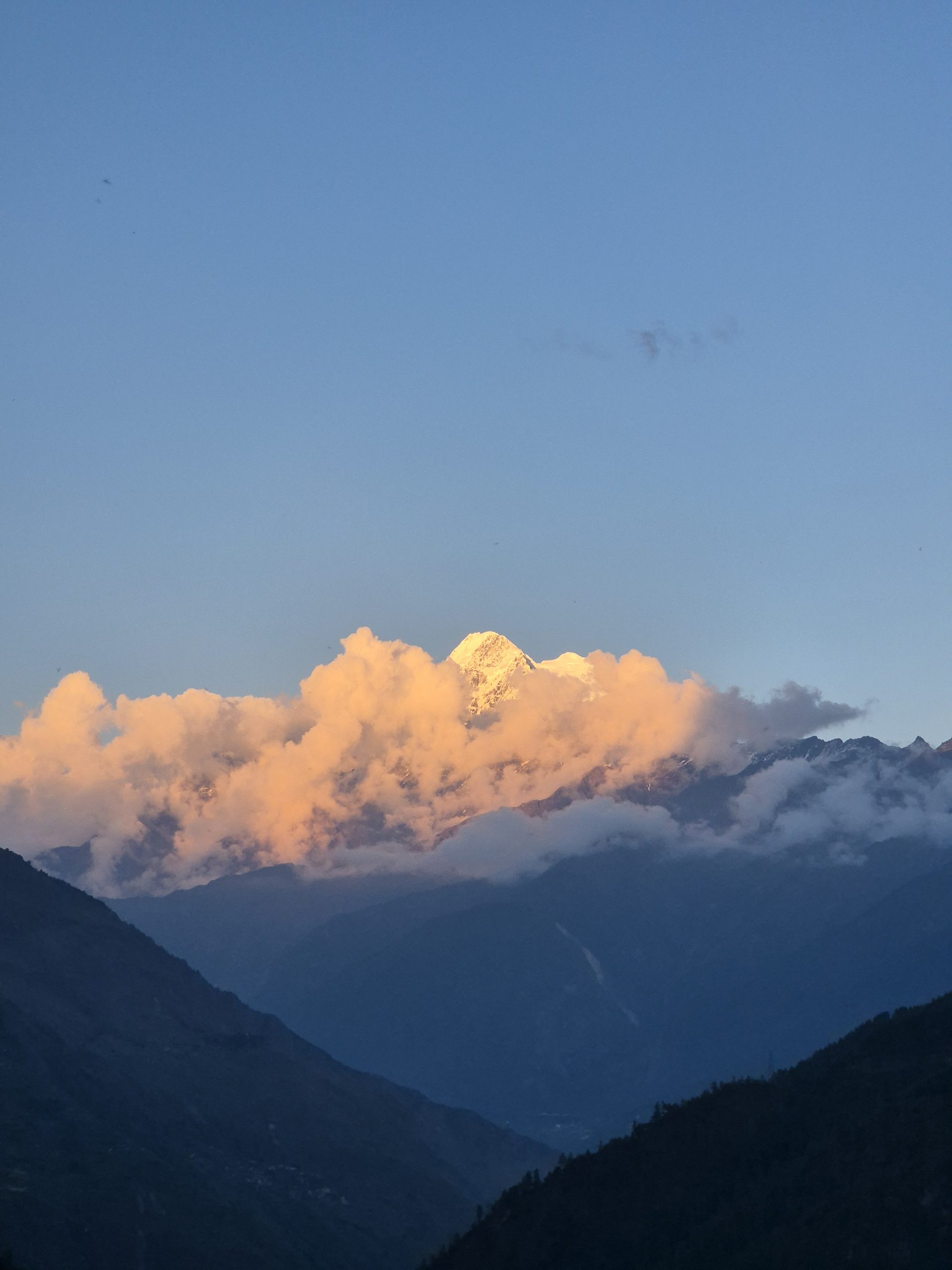
All road walking. Easy and straightforward. You can also take the trail and shortcut, which is 9 km shorter – same elevation, just steeper. Good trail, easy to follow.
🔒 Login
DAY 53 – 24.48 km | 1.227m | 5h 56m | 7h 49m | Thulo Syabru
_DSC6164
_DSC6175
_DSC6173
_DSC6168
20261015_104835
_DSC6141
_DSC6122
IMG-20261015-WA0003
_DSC6134
_DSC6182
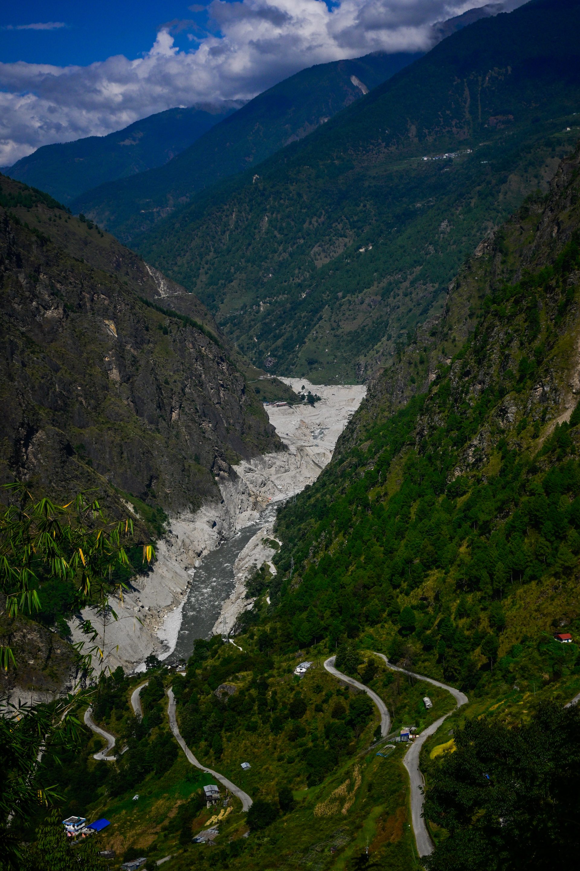
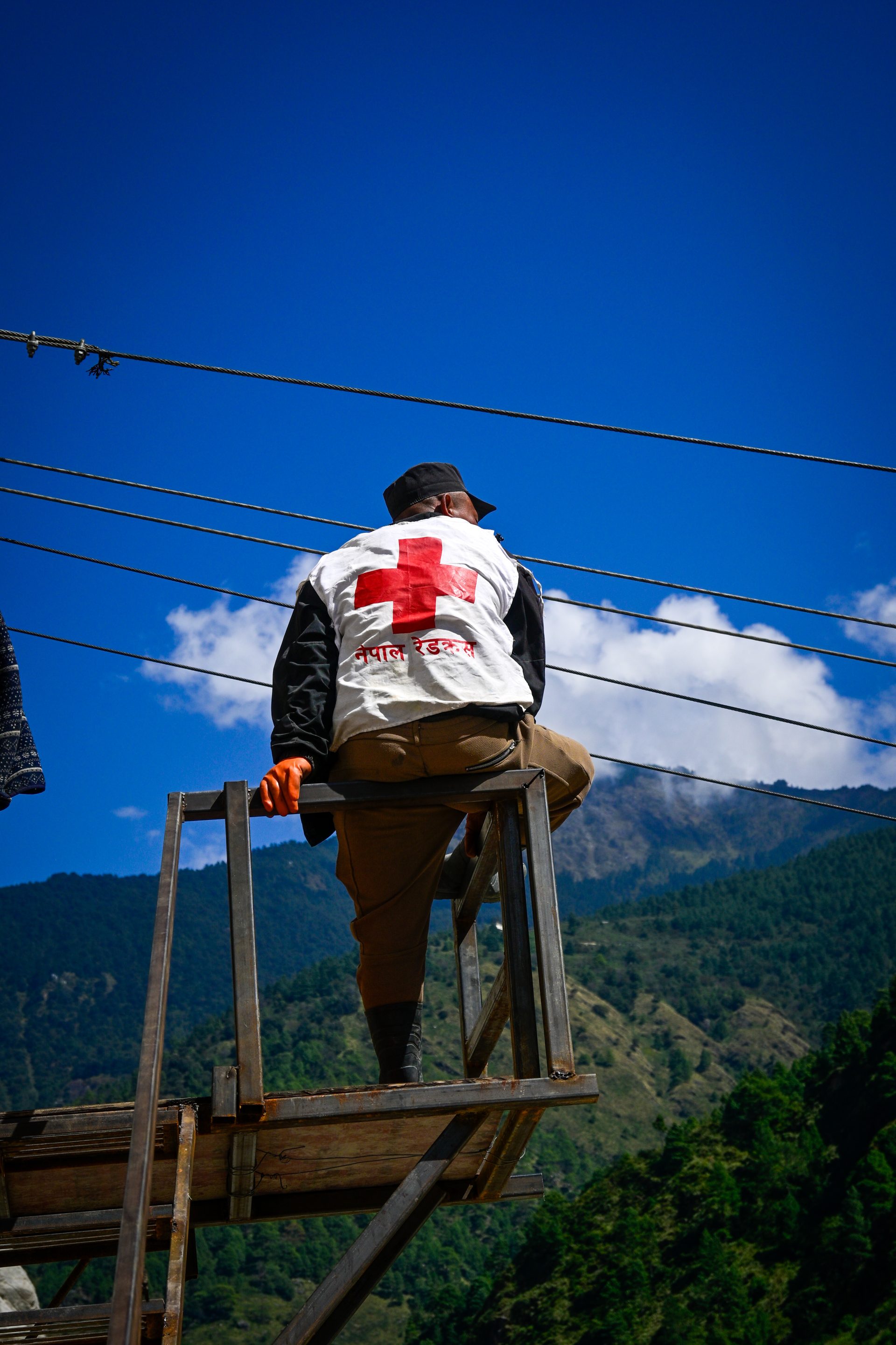
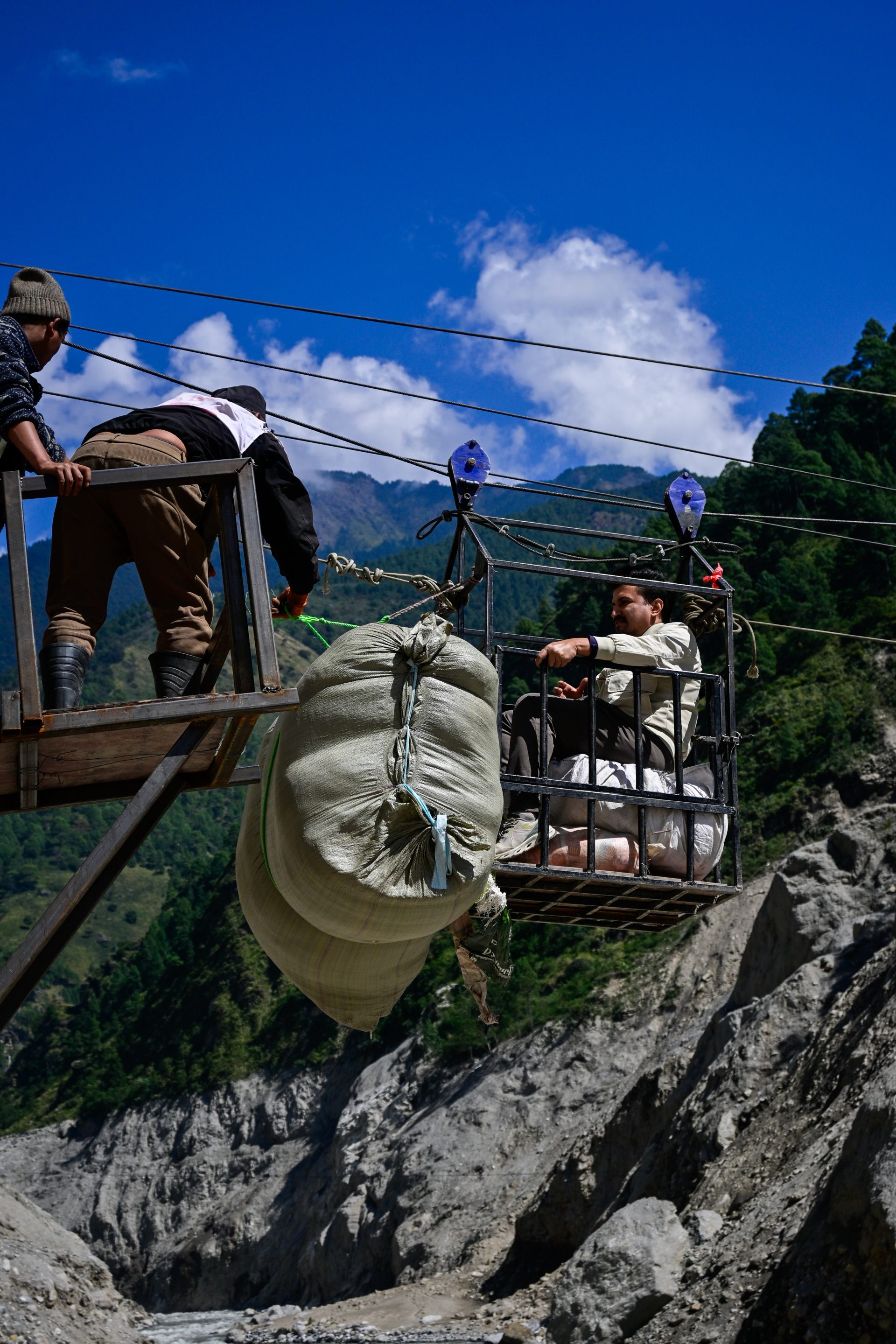
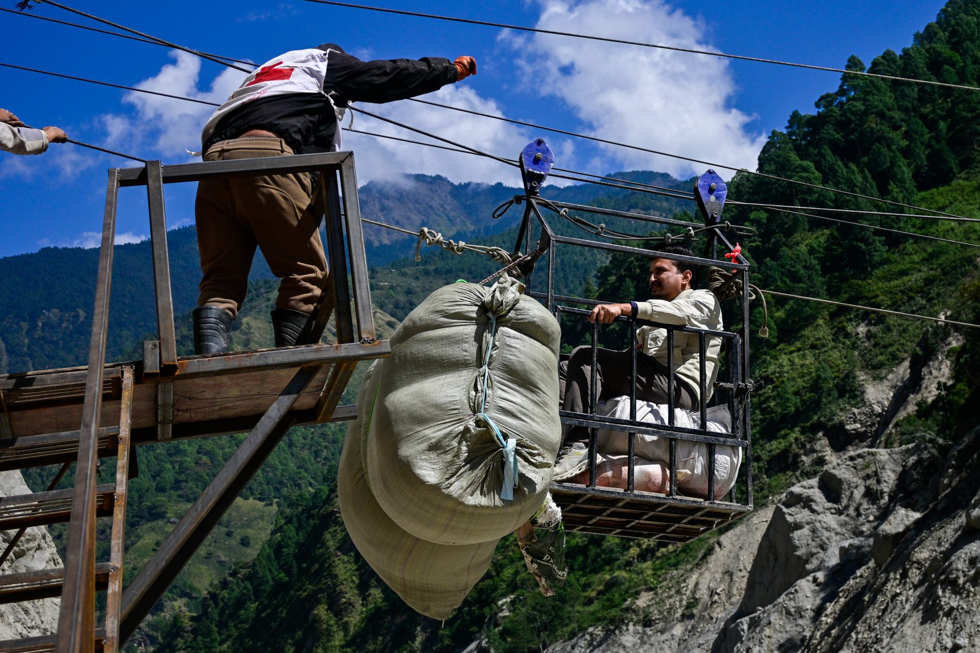
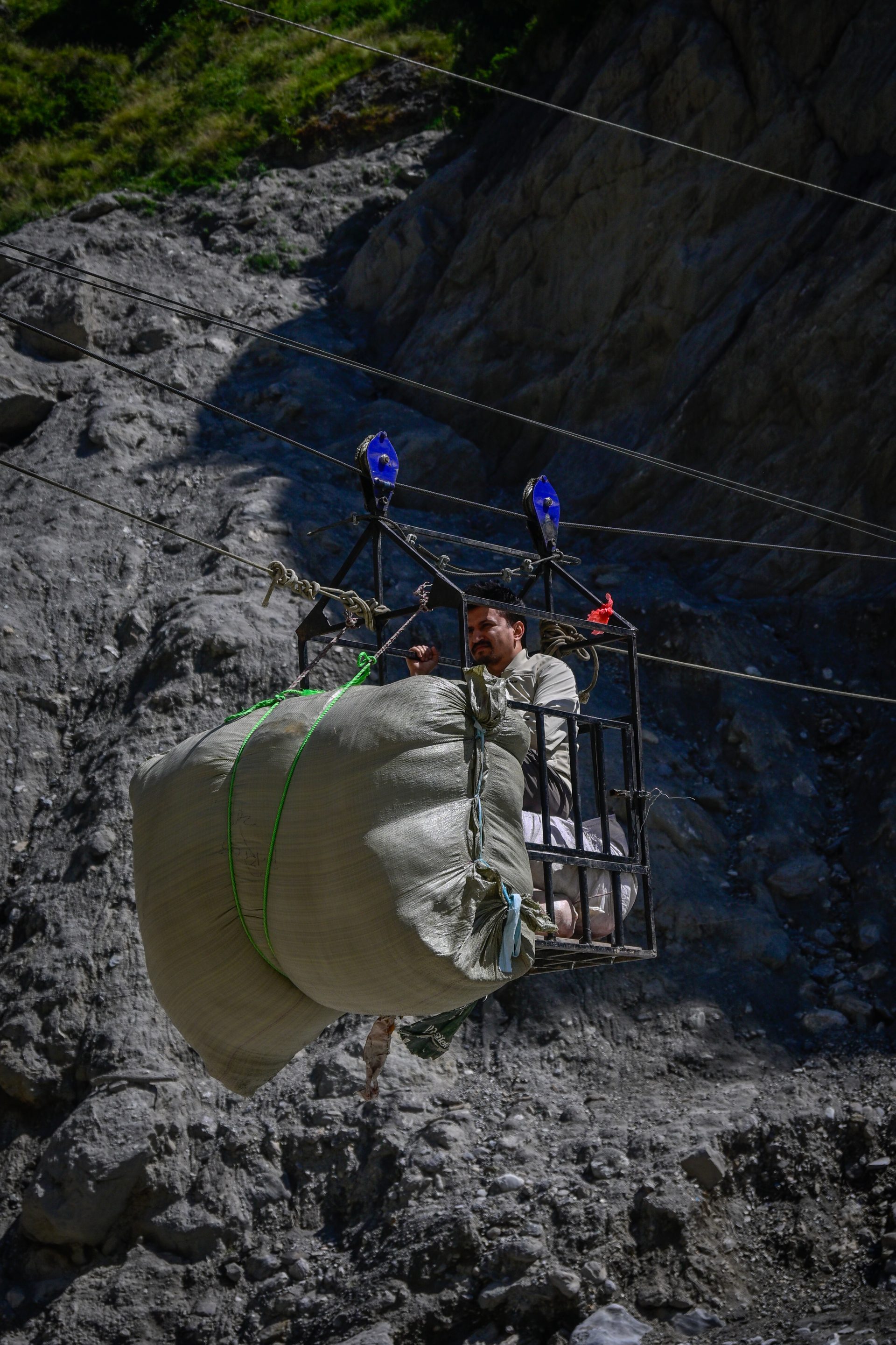
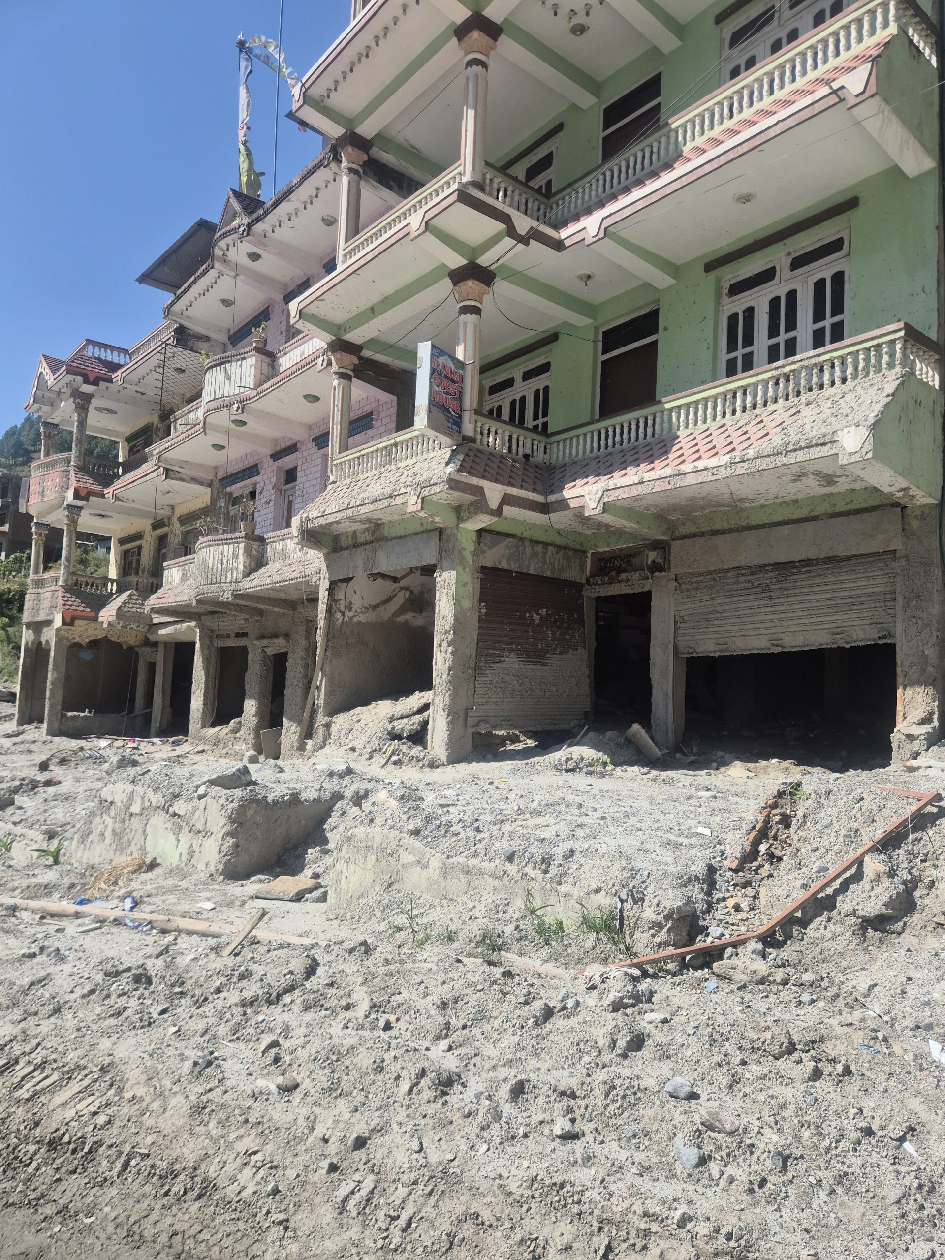
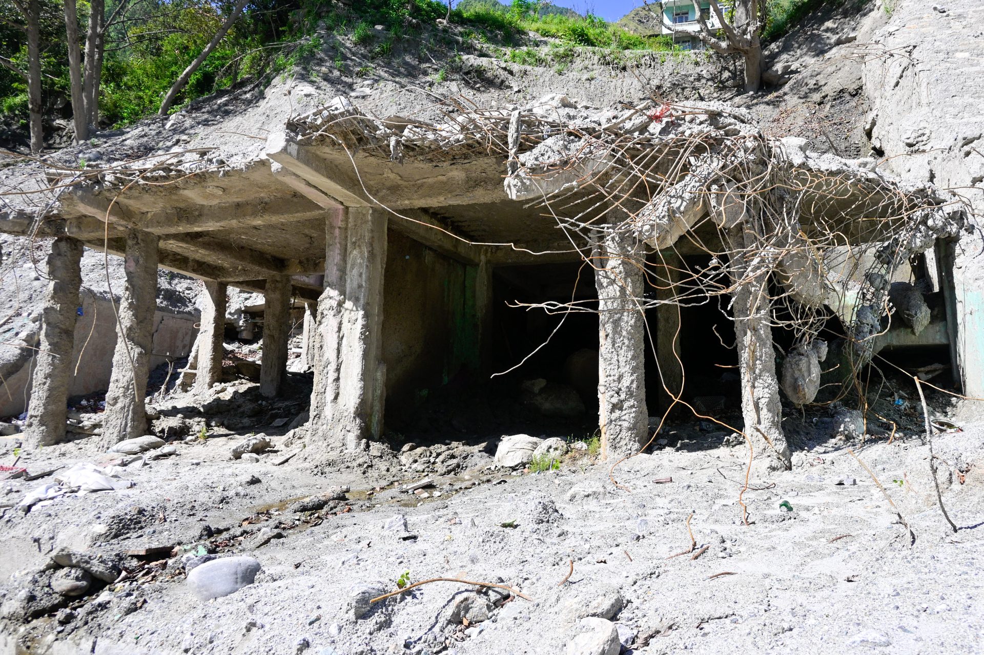
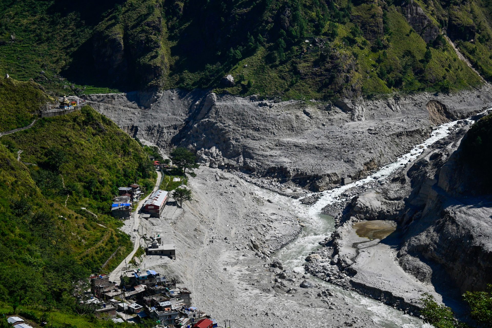
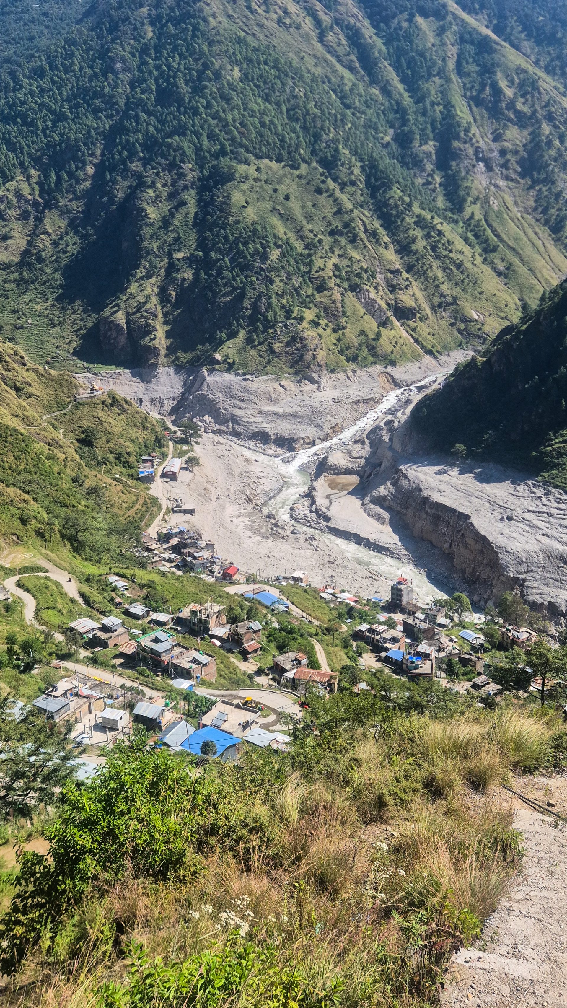
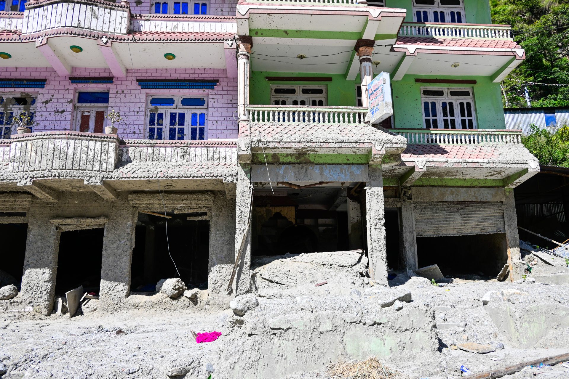
Everything can be road walking, but it will again be significantly longer than taking the shortcuts. I shortcutted everything – it was all trail or stairs. Due to the flood damage, we had to take a detour as all bridges are destroyed. I’ll add the original route as an alternative.
🔒 Login
DAY 55 – 14.24 km | 1.429m | 4h 23m | 4h 34m | Ghoda Tabela
_DSC6203
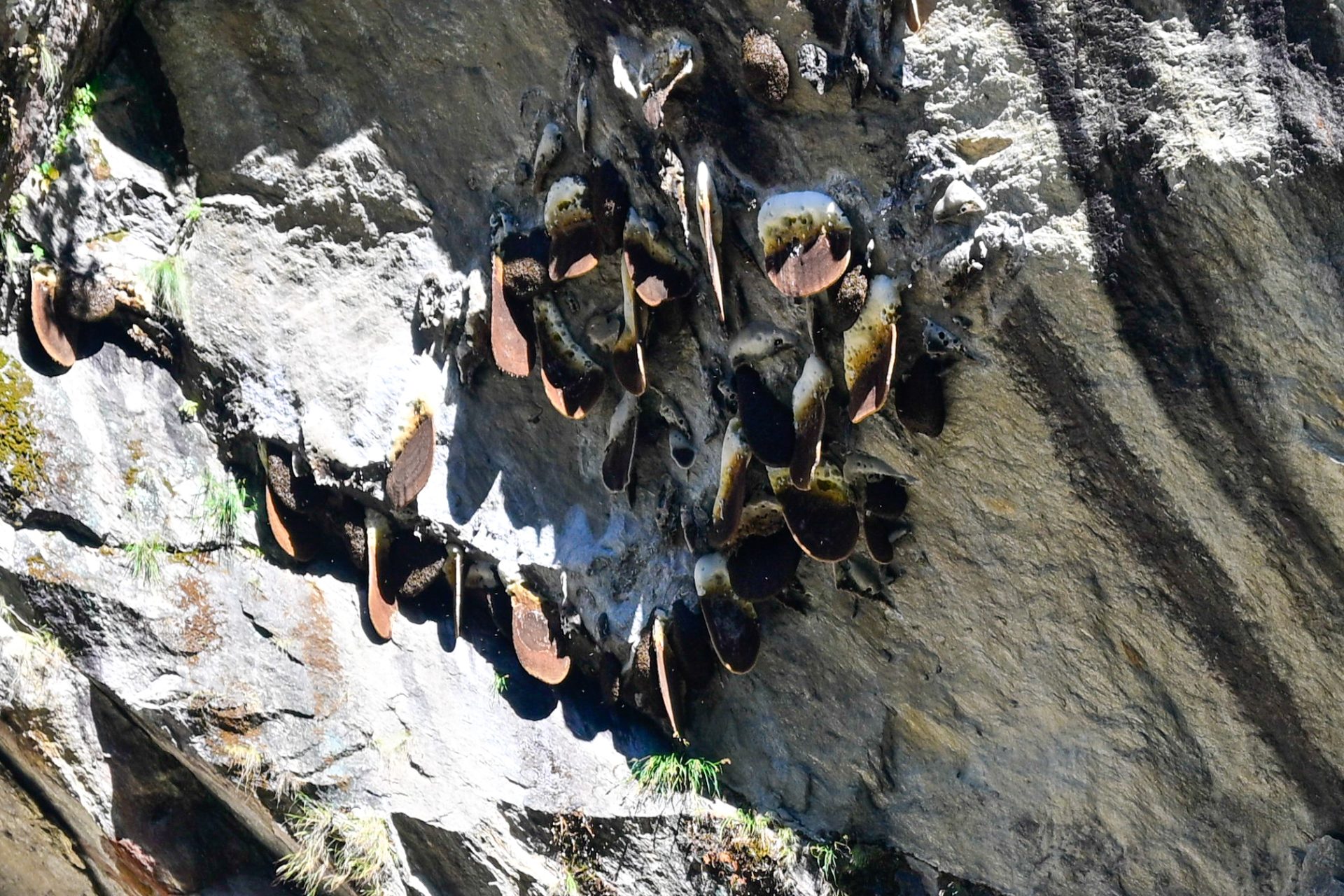
Easy trail and straightforward.
🔒 Login
DAY 56 – 15.31 km | 1.230m | 3h 59m | 4h 02m | Kyanjin Gompa
_DSC6219
_DSC6214
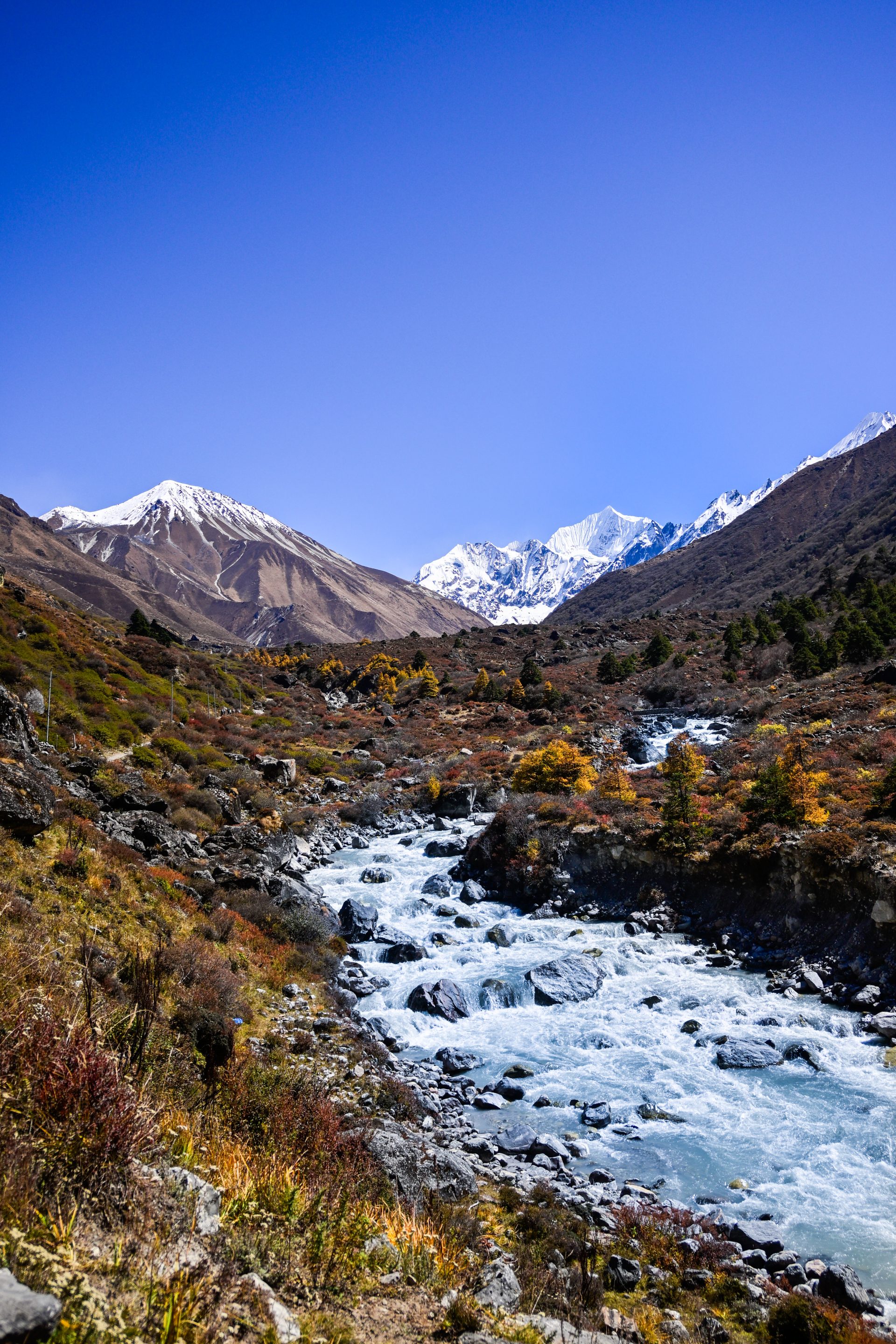
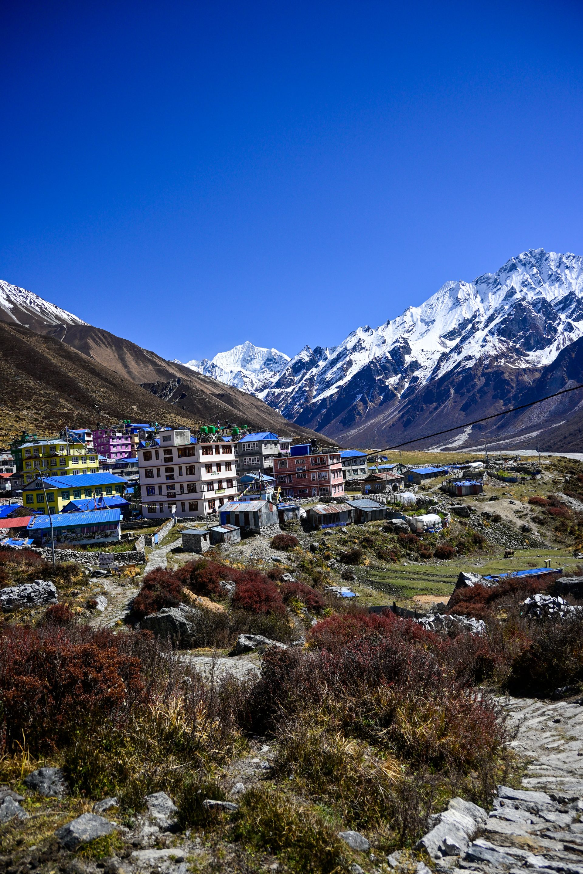
All trail and straightforward.
🔒 Login
Equipment
(Coming soon)
Cost breakdown
(Coming soon)
Navigation & Apps
(Coming soon)
Technical Passes
(Coming soon)
GHT Trekking Agency
(coming soon)
pre-Trail preparation
(Coming soon)
Infra on the Trail
(Coming soon)
Visa
(coming soon)
Leave a Reply